Old Maps of Camulos, California for Academic Research
Study the evolution of Camulos with 18 high-resolution historic maps. Whether you're teaching, researching, or modeling changes in land use, these maps provide essential visual documentation of urban, environmental, and geographic change.
- Analyze long-term change: Track patterns in development, transportation, and natural features.
- Ideal for environmental or urban studies: Support academic projects with primary historical map data.
- Use in the classroom or lab: Educators and researchers rely on these maps to bring historical context to life.
These maps are a powerful tool for teaching, research, and visualizing how Camulos has changed over the decades.
Camulos, CA maps
(18)- 1900 Map of Piru
 1900 Piru1900 Print · USGSVentura County thrived along the rail-and-river corridor at the turn of the century as agriculture and ranching expanded. Trace the early layouts of Fillmore, Moorpark, and Piru or locate family landmarks in Bardsdale and Camulos.
 - 1903 Map of Camulos
 1903 Camulos1903 Print · USGSSouthern California at the dawn of the twentieth century shows a landscape of ranchos and early rail towns. Trace the old routes through Simi and Camulos, or locate vanished stops like Ternez Siding and the coastal piers at Port Los Angeles.5 unique versions available
 - 1921 Map of Piru
 1921 Piru1921 Print · USGSThe Santa Clara River valley and southern Ventura County are shown here in the early twentieth century as the rail network expanded. Genealogists and historians can trace old property lines and rail stops at Sespe Sta, Camulos, and Bardsdale.4 unique versions available
 - 1931 Map of Santa Felicia Canyon
 1931 Santa Felicia Canyon1931 Print · USGSCanyon ranching and cattle camps define the Ventura-Los Angeles border during the early 1930s. Genealogists and researchers can trace the locations of the Dohany Cattle Camp, Martinez Ranch, and Leckler Ranch.
 - 1935 Map of Santa Felicia Canyon
 1935 Santa Felicia Canyon1935 Print · USGSVentura and Los Angeles Counties are seen here in the mid-1930s along the steep canyon lands of the Temascal region. Genealogists and researchers can trace early land use through named sites like Lechler Ranch, Black Ranch, and the Doheny Cattle Camp No 2.3 unique versions available
 - 1941 Map of Piru, 1963 Print
 1941 Piru1963 Print · USGSVentura County ranching and rail life are captured here during the early 1940s as citrus and oil industries shaped the valley. Researchers can trace historic family holdings like the Frey Ranch and locate vanished local landmarks such as San Cayetano Sch or the Temescal Guard Station.
 - 1949 Map of Los Angeles
 1949 Los Angeles1949 Print · USGSSouthern California and the South Coast appear at the onset of the post-war boom, from the Channel Islands to the Mojave Desert. Trace early aviation sites like Lockheed Air Terminal and mining history at the Redrock Quicksilver Mine and Redrover Mine.2 unique versions available
 - 1952 Map of Piru, 1953 Print
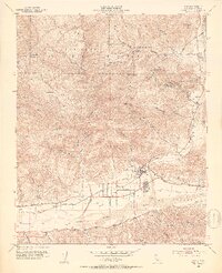 1952 Piru1953 Print · USGSIn the early fifties, the Ventura County backcountry was a landscape of citrus groves, oil production, and high forest peaks. Historians can trace the Southern Pacific rail line through Piru and Camulos, or locate the School (Aband) and various oil wells in the hills.7 unique versions available
 - 1955 Map of Los Angeles
 1955 Los Angeles1955 Print · USGSThe mid-century transformation of Southern California comes into focus as the urban sprawl of Los Angeles meets the wilderness of the Santa Monica Mountains. Researchers can trace the development of post-war suburbs alongside historic landmarks like the Santa Barbara Lighthouse and early industrial sites such as the Good Luck Mine.
 - 1959 Map of Los Angeles
 1959 Los Angeles1959 Print · USGSCoastal California and the high desert met in a period of booming growth after the war. Researchers can trace early aviation and military history at the Point Mugu Air Missile Test Ctr or locate desert mining sites like the Double Eagle Mine.3 unique versions available
 - 1966 Map of Los Angeles
 1966 Los Angeles1966 Print · USGSSouthern California underwent a mid-century transformation as suburban grids reached the base of the San Gabriel Mountains. Researchers can trace the path of the Los Angeles Aqueduct or locate defense landmarks like Edwards Air Force Base.
 - 1975 Map of Los Angeles, 1977 Print
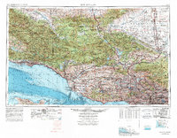 1975 Los Angeles1977 Print · USGSSouthern California is captured in a period of significant growth during the mid-seventies, showing the urban sprawl from the coast to the high desert. Researchers can trace the development of the Pacific Coast Hwy and find aerospace landmarks like Edwards Air Force Base and the Flight Test Center (NASA).2 unique versions available
 - 1979 Map of Los Angeles
 1979 Los Angeles1979 Print · USGSSouthern California at the close of the 1970s reveals a sprawling network of suburban growth and massive infrastructure projects. Researchers can trace established rail lines like the Southern Pacific alongside newer settlements and landmarks like Virginia Colony and Griffith Park.
 - 1995 Map of Piru, 2000 Print
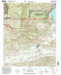 1995 Piru2000 Print · USGSIn the mid-1990s, the Piru region was a study in water management and historical land grants along the Santa Clara River. Researchers can trace the path of the Southern Pacific railroad and locate old ranching or citrus hubs at Camulos, Buckhorn, and Guiberson.
 - 2012 Map of Piru, 2012 Print
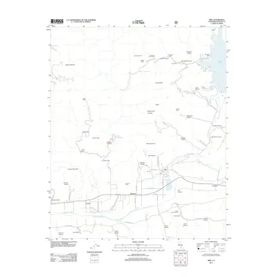 2012 Piru2012 Print · USGSVentura County's rugged canyon country and the Santa Clara River valley are detailed here in the early twenty-first century. Researchers can trace land tracts like the Lankershim Estate, the Piru Cem, and local industry at the Eureka Canyon Oil Field.
 - 2015 Map of Piru, 2015 Print
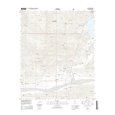 2015 Piru2015 Print · USGSThe Piru and Santa Clara River valleys are captured here in the mid-2010s, showing a landscape defined by deep canyons and mountain peaks. Researchers can trace the layout of Piru, find the Piru Cemetery, and locate historic citrus and ranching sites near Buckhorn and Camulos.
 - 2018 Map of Piru, 2018 Print
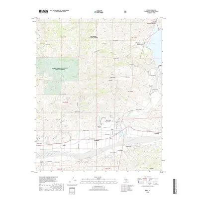 2018 Piru2018 Print · USGSVentura County's rugged canyon country is captured here during the late 2010s, centered on the historic town of Piru and the Santa Clara River. Researchers can trace the layout of local ranches via Lawton Ranch RD, locate the Piru Cem, and explore the margins of Lake Piru.
 - 2022 Map of Piru, 2022 Print
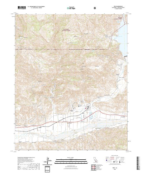 2022 Piru2022 Print · USGSVentura County's rugged canyon country and the Santa Clara River valley are detailed here in the early 2020s. Researchers can locate the historic community of Piru, the Piru Cem, and rural outposts such as Buckhorn and Camulos among the foothills.
End of results
Showing maps 1-18 of 18
Top cities near Camulos
- Los Angeles historical maps
- Santa Clarita historical maps
- Thousand Oaks historical maps
- Simi Valley historical maps
- Camarillo historical maps
- Moorpark historical maps
See more
Frequently asked questions
- What are the different types of historical maps available for Camulos?
- What is the oldest map of Camulos?
- Where can I purchase historical maps of Camulos for my home or office?
- Where can I download high-res historical maps of Camulos?
- Are there historical topographic maps available for Camulos?
- Is there historical aerial imagery available for Camulos?
- Where are historical maps of Camulos sourced from?