Old Maps of Dunnigan, California for Metal Detecting
Plan your next treasure hunt with 14 historic maps of Dunnigan. Find old homesites, ghost towns, trails, and gathering spots that may be lost to time — perfect for identifying promising metal detecting locations.
- Locate forgotten sites: Uncover places like long-lost settlements, abandoned rail lines, or gathering spots.
- Plan better hunts: Use map overlays combined with LiDAR or satellite views to narrow in on historically rich areas.
- Made for detectorists: Thousands of hobbyists use these maps to discover relics, coins, and hidden history.
Use these historic maps to boost your research and find new opportunities beneath the surface of Dunnigan.
Dunnigan, CA maps
(14)- 1907 Map of Dunnigan
 1907 Dunnigan1907 Print · USGSThe Sacramento Valley in the early 1900s is defined by its busy river landings and the emerging rail corridor. Genealogists can trace family footprints at Zamora Blacks Station P O or follow the river to Cranmore Landing and Derby Camp.3 unique versions available
 - 1916 Map of Hershey
 1916 Hershey1916 Print · USGSCentral Valley agriculture and rail transport meet in the early twentieth century near the Colusa-Yolo border. Researchers can trace the early layout of Dunnigan and the shipping point at Hershey along the Southern Pacific (Woodland Line).
 - 1941 Map of Dunnigan
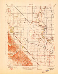 1941 Dunnigan1941 Print · USGSYolo and Sutter counties are captured here in the early 1940s, showing a landscape defined by the shifting Sacramento River and the Southern Pacific rail line. Trace the history of river commerce at Rough and Ready Landing or locate family roots in Zamora Blacks Station P O and Dunnigan.
 - 1947 Map of Sacramento, 1948 Print
 1947 Sacramento1948 Print · USGSThe Sacramento Valley meets the high Sierra during a period of post-war expansion. Trace the historic river delta islands like Grand Island or locate early airfield footprints at McClellan Air Force Base and Mather Air Force Base.2 unique versions available
 - 1948 Map of Sacramento, 1951 Print
 1948 Sacramento1951 Print · USGSPost-war Northern California comes alive in this regional survey, capturing the era of expansion between the Central Valley and the High Sierra. Researchers can trace the rail networks of the Central California Traction and Sacramento Northern RR or locate landmarks like the State Capitol and University of California Davis.
 - 1953 Map of Dunnigan, 1954 Print
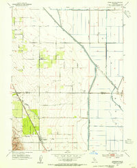 1953 Dunnigan1954 Print · USGSThe agricultural heart of Yolo and Colusa counties is captured here in the early fifties, where the railroad meets the valley floor. Genealogists and historians can locate the Johns District School, the Johns Cem, and the rail stops at Dunnigan and Hershey.4 unique versions available
 - 1953 Map of Dunnigan, 1959 Print
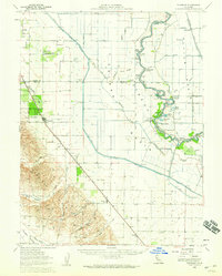 1953 Dunnigan1959 Print · USGSThe Sacramento River valley in the early 1950s shows a landscape of river landings and railroad towns at the height of its mid-century agricultural reach. Genealogists and historians can trace the foundations of Dunnigan and Zamora, or locate family landmarks like Johns Cemetery and Marys Cemetery.2 unique versions available
 - 1956 Map of Sacramento
 1956 Sacramento1956 Print · USGSMid-century California unfolds from the delta to the high Sierra, capturing a landscape of growing valley cities and burgeoning military airbases. Genealogists and historians can trace the rail lines and river towns from Woodland to Lodi, or explore the foothill settlements of Placerville and Jackson.2 unique versions available
 - 1957 Map of Sacramento, 1966 Print
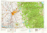 1957 Sacramento1966 Print · USGSIn the mid-twentieth century, the California heartland was a hub of river transport, rail lines, and military airbases. Genealogists and historians can trace the development of Gold Country towns like Angels Camp and Sonora or follow the path of the Southern Pacific RR through the growing suburbs of Sacramento.4 unique versions available
 - 1994 Map of Sacramento
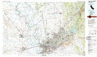 1994 Sacramento1994 Print · USGSThe Sacramento valley was a landscape of massive flood control and military aviation during the mid-nineties. Researchers can trace the complex network of the Yolo Bypass and the Sacramento River alongside McClellan Air Force Base and Zamora.2 unique versions available
 - 2012 Map of Dunnigan, 2012 Print
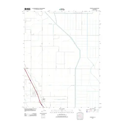 2012 Dunnigan2012 Print · USGSThe rural agricultural lands of Yolo County are captured here in 2012, showing the grid of irrigation canals and early settlements. Genealogists can locate Johns Cem or trace family roots near Dunnigan and the old railway siding at Hershey.
 - 2015 Map of Dunnigan, 2015 Print
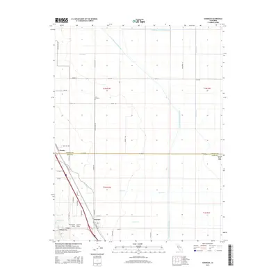 2015 Dunnigan2015 Print · USGSThe northern Sacramento Valley's agricultural landscape is captured here in the mid-2010s, centered on the transit corridor at Dunnigan. Researchers can trace irrigation networks like the Colusa Basin Drainage Canal and locate family history sites such as Johns Cemetery.
 - 2018 Map of Dunnigan, 2018 Print
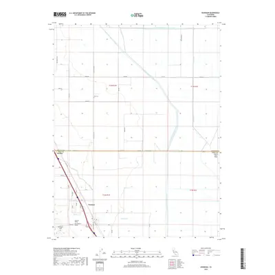 2018 Dunnigan2018 Print · USGSDunnigan and the surrounding Sacramento Valley farmlands appear in high detail during this twenty-first-century survey. Researchers can trace rural lineages at Johns Cem or follow the complex irrigation routes of the Colusa Basin Drainage Canal and Chirks Ditch.
 - 2022 Map of Dunnigan, 2022 Print
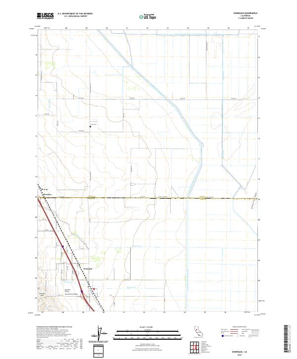 2022 Dunnigan2022 Print · USGSThe northern Sacramento Valley's agricultural grid is meticulously detailed here in the early twenty-first century. Genealogists and local historians can trace family-named roads and landmarks like Johns Cem, Hershey, and the Dunnigan Hills.
End of results
Showing maps 1-14 of 14
Top cities near Dunnigan
Frequently asked questions
- What are the different types of historical maps available for Dunnigan?
- What is the oldest map of Dunnigan?
- Where can I purchase historical maps of Dunnigan for my home or office?
- Where can I download high-res historical maps of Dunnigan?
- Are there historical topographic maps available for Dunnigan?
- Is there historical aerial imagery available for Dunnigan?
- Where are historical maps of Dunnigan sourced from?