Old Maps of Alamosa, Colorado for Academic Research
Study the evolution of Alamosa with 31 high-resolution historic maps. Whether you're teaching, researching, or modeling changes in land use, these maps provide essential visual documentation of urban, environmental, and geographic change.
- Analyze long-term change: Track patterns in development, transportation, and natural features.
- Ideal for environmental or urban studies: Support academic projects with primary historical map data.
- Use in the classroom or lab: Educators and researchers rely on these maps to bring historical context to life.
These maps are a powerful tool for teaching, research, and visualizing how Alamosa has changed over the decades.
Alamosa, CO maps
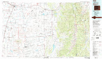
(31)- 1954 Map of Trinidad, 1963 Print
 1954 Trinidad1963 Print · USGSSouthern Colorado is captured here during the mid-fifties, showing the vital rail-and-river connections between the San Luis Valley and the eastern foothills. Researchers can trace the Denver and Rio Grande Western line and locate rural landmarks like Malachite School and San Luis.2 unique versions available
 - 1955 Map of Trinidad, 1976 Print
 1955 Trinidad1976 Print · USGSSouthern Colorado during the mid-fifties is defined by the high-altitude agriculture of the San Luis Valley and the peaks of the Culebra Range. Genealogists can trace early settlements and rural schoolhouses like Medina Plaza, San Luis, and the Trujillo Creek School.
 - 1958 Map of Trinidad
 1958 Trinidad1958 Print · USGSSouthern Colorado in the late fifties was a landscape of high-altitude agriculture and coal production, centered on the San Luis Valley. Local historians can trace old community centers like the Malachite School or follow the mining and rail activity near Walsenburg and the Allen Mine.
 - 1959 Map of Trinidad
 1959 Trinidad1959 Print · USGSThe San Luis Valley and the high Sangre de Cristo peaks are documented here in the late fifties, during a period of steady ranching and rail activity. Genealogy researchers can locate family-named landmarks and rural institutions like Trujillo Creek School and the historic San Luis settlement.
 - 1966 Map of Mount Pleasant School, 1968 Print
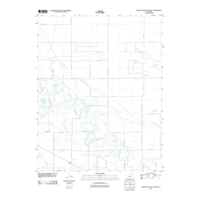
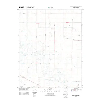
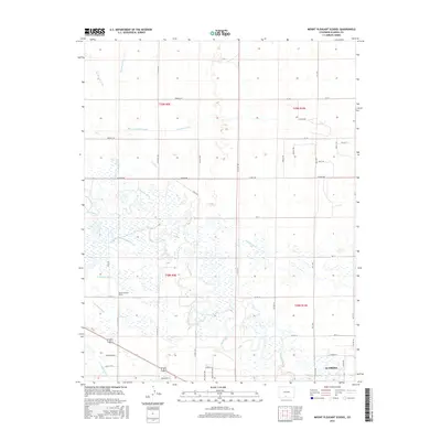
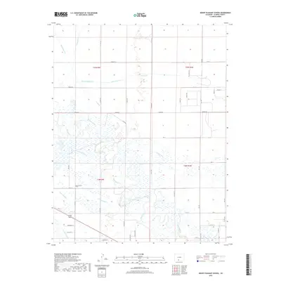
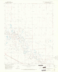 1966 Mount Pleasant School1968 Print · USGSAlamosa County’s San Luis Valley was a hub of intensive irrigation and rail transport in the mid-1960s. Researchers can trace the path of the Denver and Rio Grande Western railroad and locate rural landmarks like Mount Pleasant School and the Costilla Canal.
 - 1966 Map of Hooper SE, 1968 Print
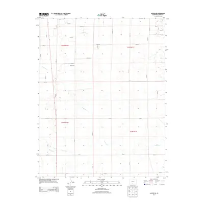
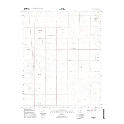
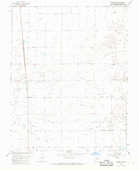 1966 Hooper SE1968 Print · USGSAlamosa County appears in the mid-1960s as a landscape of grid-patterned roads and intensive water management. Researchers can trace the path of the Old Railroad Grade or locate historic water sources like the Costilla Canal and numerous Flowing Wells.
 - 1966 Map of Alamosa East, 1968 Print
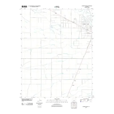
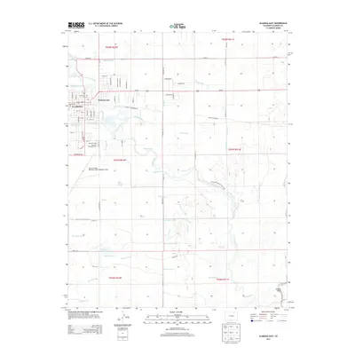
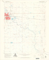 1966 Alamosa East1968 Print · USGSAlamosa and the surrounding San Luis Valley are captured here in the mid-sixties, showcasing a landscape defined by the Rio Grande and a complex network of irrigation ditches. Researchers can trace the path of the Denver and Rio Grande Western railroad and locate local landmarks like the Boyd Sch and Adams Lake.3 unique versions available
 - 1966 Map of Alamosa West, 1969 Print
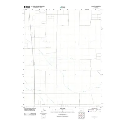
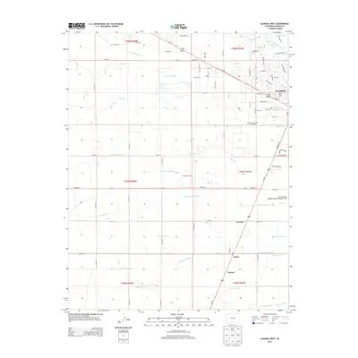
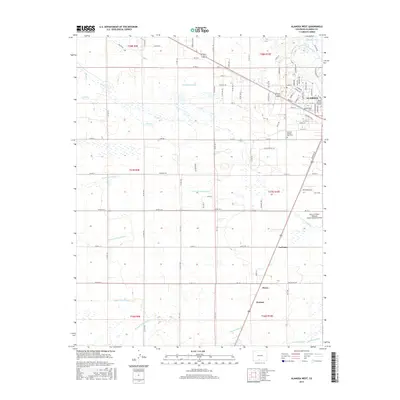
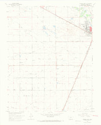 1966 Alamosa West1969 Print · USGSThe high plains of Alamosa County come into sharp focus in the mid-1960s, showing a landscape defined by industrial rail and irrigation. Trace the Denver and Rio Grande Western tracks through La Fruto and Henry, or locate family landmarks like Waverly Sch.3 unique versions available
 - 1982 Map of Blanca Peak, 1983 Print
 1982 Blanca Peak1983 Print · USGSThe Sangre de Cristo range reaches its highest elevations in the early 1980s, towering over the shifting landscapes of the San Luis Valley. Researchers can trace the path of the Denver and Rio Grande Western railroad or locate remote settlements like Crestone, Sharpsdale, and Gardner.2 unique versions available
 - 1983 Map of Alamosa
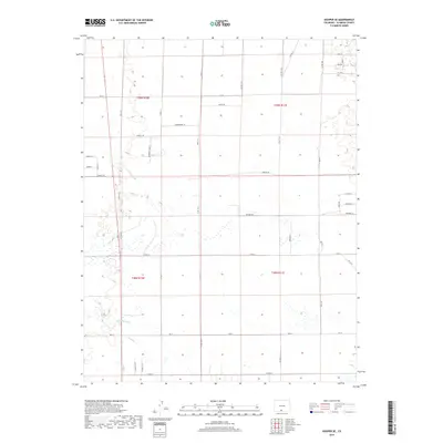
 1983 Alamosa1983 Print · USGSThe San Luis Valley was transitioning through the early eighties, with its historic plazas and rail corridors still clearly defined. Genealogists can trace family roots through the settlements of San Luis, Manassa, and San Acacio, or locate the Old Railroad Grade and the Denver and Rio Grande Western tracks.2 unique versions available
 - 1988 Map of Trinidad
 1988 Trinidad1988 Print · USGSSouthern Colorado in the late eighties reveals a landscape of high-altitude farming and mountain rail corridors. Genealogists and historians can trace the foundations of San Luis and Fort Garland or find old stops on the D & R G W RR and A T & S F Ry.
 - 2010 Map of Alamosa West, 2010 Print
 2010 Alamosa West2010 Print · USGSCovers Alamosa, including La Fruto, Hartner, and other nearby areas
 - 2010 Map of Hooper SE, 2010 Print
 2010 Hooper SE2010 Print · USGSCovers Alamosa, including Alamosa County, United States, and other nearby areas
 - 2010 Map of Alamosa East, 2010 Print
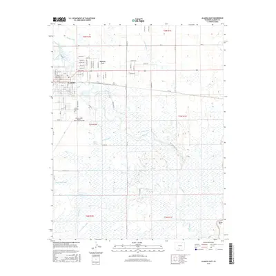
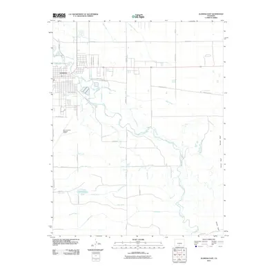 2010 Alamosa East2010 Print · USGSCovers Alamosa, including Alamosa County, United States, and other nearby areas
 - 2010 Map of Mount Pleasant School, 2010 Print
 2010 Mount Pleasant School2010 Print · USGSCovers Alamosa, including Alamosa County, United States, and other nearby areas
 - 2013 Map of Alamosa West, 2013 Print
 2013 Alamosa West2013 Print · USGSCovers Alamosa, including La Fruto, Hartner, and other nearby areas
 - 2013 Map of Hooper SE, 2013 Print
 2013 Hooper SE2013 Print · USGSCovers Alamosa, including Alamosa County, United States, and other nearby areas
 - 2013 Map of Mount Pleasant School, 2013 Print
 2013 Mount Pleasant School2013 Print · USGSCovers Alamosa, including Alamosa County, United States, and other nearby areas
 - 2013 Map of Alamosa East, 2013 Print
 2013 Alamosa East2013 Print · USGSCovers Alamosa, including Alamosa County, United States, and other nearby areas
 - 2016 Map of Alamosa East, 2016 Print
 2016 Alamosa East2016 Print · USGSCovers Alamosa, including Alamosa County, United States, and other nearby areas
 - 2016 Map of Hooper SE, 2016 Print
 2016 Hooper SE2016 Print · USGSCovers Alamosa, including Alamosa County, United States, and other nearby areas
 - 2016 Map of Mount Pleasant School, 2016 Print
 2016 Mount Pleasant School2016 Print · USGSCovers Alamosa, including Alamosa County, United States, and other nearby areas
 - 2016 Map of Alamosa West, 2016 Print
 2016 Alamosa West2016 Print · USGSCovers Alamosa, including La Fruto, Hartner, and other nearby areas
 - 2019 Map of Mount Pleasant School, 2019 Print
 2019 Mount Pleasant School2019 Print · USGSCovers Alamosa, including Alamosa County, United States, and other nearby areas
 - 2019 Map of Hooper SE, 2019 Print
 2019 Hooper SE2019 Print · USGSCovers Alamosa, including Alamosa County, United States, and other nearby areas
Showing maps 1-25 of 31
Top cities near Alamosa
Frequently asked questions
- What are the different types of historical maps available for Alamosa?
- What is the oldest map of Alamosa?
- Where can I purchase historical maps of Alamosa for my home or office?
- Where can I download high-res historical maps of Alamosa?
- Are there historical topographic maps available for Alamosa?
- Is there historical aerial imagery available for Alamosa?
- Where are historical maps of Alamosa sourced from?