Old Maps of Waverly, Colorado for Academic Research
Study the evolution of Waverly with 14 high-resolution historic maps. Whether you're teaching, researching, or modeling changes in land use, these maps provide essential visual documentation of urban, environmental, and geographic change.
- Analyze long-term change: Track patterns in development, transportation, and natural features.
- Ideal for environmental or urban studies: Support academic projects with primary historical map data.
- Use in the classroom or lab: Educators and researchers rely on these maps to bring historical context to life.
These maps are a powerful tool for teaching, research, and visualizing how Waverly has changed over the decades.
Waverly, CO maps
(14)- 1922 Map of Conejos
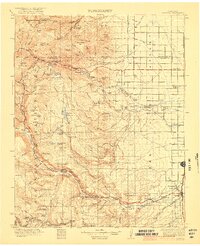 1922 Conejos1922 Print · USGSThe high San Juan peaks meet the irrigated Luis Valley in the early 1920s, showing a landscape defined by mountain ranching and rail. Trace the Denver and Rio Grande Railroad through the mountains or locate old local landmarks like Bowen Church, Antonito, and the Hot Creek School.4 unique versions available
 - 1945 Map of Durango
 1945 Durango1945 Print · USGSSouthwest Colorado and Northern New Mexico at mid-century are defined by the high peaks of the San Juan Range and the tribal lands of the Southern Ute. Genealogists and historians can trace the paths of the D & R G W RR and locate local landmarks like Animas City and the Blanco Basin School.3 unique versions available
 - 1953 Map of Durango, 1963 Print
 1953 Durango1963 Print · USGSThe high peaks of the San Juan Mountains and the Colorado mining country are shown here as they appeared in the early fifties. Genealogists and local historians can trace the rail lines of the D & R G W RR and locate historic mining camps like Silverton, Ouray, and Old Ophir.
 - 1954 Map of Durango
 1954 Durango1954 Print · USGSSouthern Colorado in the mid-1950s was defined by high-altitude mining towns and the expansion of water storage in the San Luis Valley. Trace the narrow-gauge Denver & Rio Grande Western RR as it connects Durango to mountain outposts like Silverton and Creede.2 unique versions available
 - 1961 Map of Durango
 1961 Durango1961 Print · USGSThe high San Juan country in the early sixties is shown here as a network of historic mining towns and early reservoir projects. Genealogists and researchers can trace the Denver & Rio Grande Western RR as it connects Durango, Silverton, and Arboles.
 - 1963 Map of Durango
 1963 Durango1963 Print · USGSThe San Juan Mountains and San Luis Valley are captured here in the early 1950s as mining, rail, and tribal lands shaped the region. Researchers can trace the Denver & Rio Grande Western RR through high-country towns like Telluride and Silverton, or locate landmarks such as the Asiatic Mine.
 - 1966 Map of Durango
 1966 Durango1966 Print · USGSSouthwestern Colorado and the New Mexico borderlands are shown here in the mid-1960s, a time when the narrow-gauge rail network still tied the high peaks to the valley floor. Researchers can trace the Denver & Rio Grande Western Railroad between settlements like Silverton, Antonito, and Pagosa Springs.2 unique versions available
 - 1969 Map of Waverly, 1972 Print
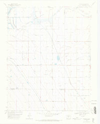 1969 Waverly1972 Print · USGSThe San Luis Valley landscape in the late sixties reveals an intricate web of irrigation and conservation efforts. Researchers can trace family-named routes and water systems such as Robison Road, Sanderson Ditch, and the community at Waverly.
 - 1985 Map of Antonito
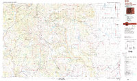 1985 Antonito1985 Print · USGSThe Colorado and New Mexico borderlands come into focus during the mid-eighties as the high peaks of the San Juans meet the San Luis Valley. Trace the winding Cumbres and Toltec Scenic Railroad or locate historical mining sites like the Black Diamond Mine and Summitville.2 unique versions available
 - 2010 Map of Waverly, 2010 Print
 2010 Waverly2010 Print · USGSCovers Waverly, including Alamosa County, Conejos County, and other nearby areas
 - 2013 Map of Waverly, 2013 Print
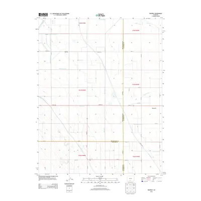 2013 Waverly2013 Print · USGSCovers Waverly, including Alamosa County, Conejos County, and other nearby areas
 - 2016 Map of Waverly, 2016 Print
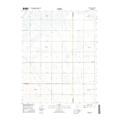 2016 Waverly2016 Print · USGSCovers Waverly, including Alamosa County, Conejos County, and other nearby areas
 - 2019 Map of Waverly, 2019 Print
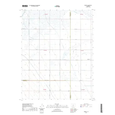 2019 Waverly2019 Print · USGSCovers Waverly, including Alamosa County, Conejos County, and other nearby areas
 - 2022 Map of Waverly, 2022 Print
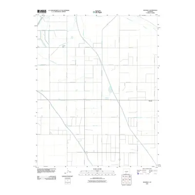
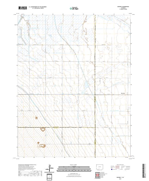 2022 Waverly2022 Print · USGSIn the heart of the San Luis Valley during the early 2020s, this area reveals a landscape meticulously carved by irrigation. Researchers can trace the complex network of water rights through the Monte Vista Canal, the Empire Canal, and the settlement of Waverly.
End of results
Showing maps 1-14 of 14
Top cities near Waverly
Frequently asked questions
- What are the different types of historical maps available for Waverly?
- What is the oldest map of Waverly?
- Where can I purchase historical maps of Waverly for my home or office?
- Where can I download high-res historical maps of Waverly?
- Are there historical topographic maps available for Waverly?
- Is there historical aerial imagery available for Waverly?
- Where are historical maps of Waverly sourced from?