Old Maps of Frick, Colorado for Genealogy
Trace your family roots with 12 historic maps of Frick. These high-res maps reveal old neighborhoods, homesites, landmarks, and streets — helping you uncover where your ancestors lived and how the area evolved over time.
- Explore historic neighborhoods: Identify where your relatives may have lived in the 1800s or 1900s.
- Compare maps over time: Trace the changes in streets, buildings, and landmarks for multi-generational research.
- Perfect for genealogy & ancestry research: Used by family historians and researchers to map out lineage and migration.
These maps are an incredible resource for exploring your personal connection to Frick's past.
Frick, CO maps
(12)- 1892 Map of Two Butte
 1892 Two Butte1892 Print · USGSSoutheastern Colorado appears here in the early 1890s, when ranching outposts and pioneer trails defined the high plains. Researchers can trace the original Santa Fe Trail and locate early settlements such as Brookfield, Mulvane, and the Longshore Ranch.
 - 1893 Map of Two Butte
 1893 Two Butte1893 Print · USGSSoutheastern Colorado appears here in the early 1890s, where high plains ranching and the legendary Santa Fe Trail met. Genealogists can trace early outposts like Brookfield, Atlanta, and the remote Longshore Ranch.5 unique versions available
 - 1955 Map of La Junta, 1966 Print
 1955 La Junta1966 Print · USGSSoutheastern Colorado during the mid-fifties is captured here as a sprawling network of ranching outposts and rail sidings. Researchers can locate vanished landmarks like the Sunderland School, trace the isolated Lycan Post Office, or find the Bomb target (abandoned) on the western plains.3 unique versions available
 - 1958 Map of La Junta
 1958 La Junta1958 Print · USGSSoutheast Colorado and the Kansas borderlands appear in the late fifties as a landscape of isolated ranching outposts and vital rail junctions. Researchers can trace the lineage of vanished post offices and rural school sites like the Lycan Post Office and Sunderland School.2 unique versions available
 - 1968 Map of La Junta
 1968 La Junta1968 Print · USGSSoutheastern Colorado and the high plains appear in remarkable detail during the late 1960s, showing the intersection of irrigation, ranching, and rail. Genealogists can trace family footprints at the Lycan Post Office, Konantz Cem, and across numerous named cattle ranches.
 - 1971 Map of Deora, 1973 Print
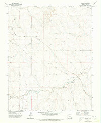 1971 Deora1973 Print · USGSBaca County's high plains and railway history are documented here in the early seventies, centered on the Atchison Topeka and Santa Fe corridor. Genealogy researchers can trace the locations of the Israel Store (Site), the Valley View School, and the remote Murray Place.
 - 1984 Map of Two Buttes Reservoir
 1984 Two Buttes Reservoir1984 Print · USGSSoutheastern Colorado and western Kansas appear in the mid-1980s as a high plains landscape shaped by historic migration and ranching. Researchers can trace the path of the Santa Fe Trail and locate rural hubs like Deora, Lycan, and Buckeye Crossroads.
 - 2010 Map of Deora, 2010 Print
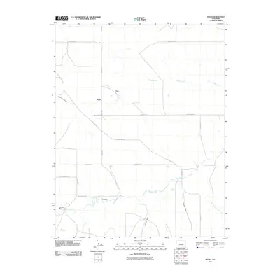 2010 Deora2010 Print · USGSSoutheast Colorado in the early 21st century remains a landscape of wide-open ranching country and seasonal watercourses. Genealogists and local historians can locate specific sites like Murray Place, the settlement of Atlanta, and crossings along Two Butte Creek.
 - 2013 Map of Deora, 2013 Print
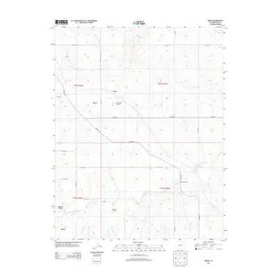 2013 Deora2013 Print · USGSSoutheast Colorado ranching country is mapped here in the early twenty-first century, showing the enduring grid of roads and watercourses. Researchers can locate specific sites such as Murray Place, Alkali Spring, and the small settlement of Atlanta.
 - 2016 Map of Deora, 2016 Print
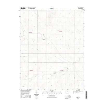 2016 Deora2016 Print · USGSSoutheast Colorado in the early 2010s remains a landscape of wide-open ranching country and deep-rooted agricultural grids. Researchers can trace the layout of rural hubs like Deora and Frick or follow the winding paths of Two Butte Creek and Snake Arroyo.
 - 2019 Map of Deora, 2019 Print
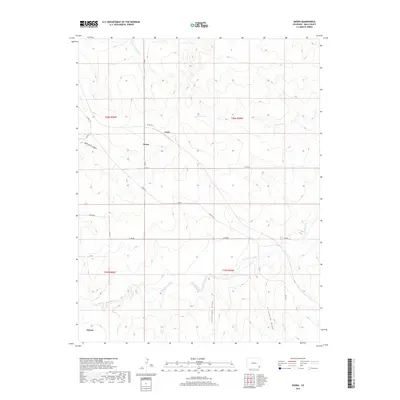 2019 Deora2019 Print · USGSSoutheast Colorado's High Plains are captured here in the late 2010s, showing the enduring ranching landscape around Deora and Frick. Local historians can trace the paths of Two Butte Creek, Alkali Spring, and the named draws that define this corner of Baca County.
 - 2022 Map of Deora, 2022 Print
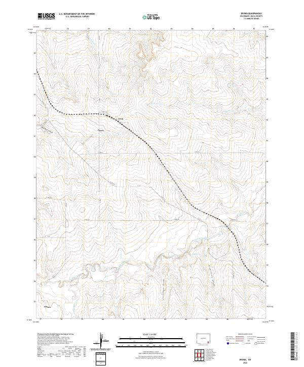 2022 Deora2022 Print · USGSHigh plains ranching country in Baca County is documented here during the early twenty-first century. Researchers can trace the rural crossroads of Deora, find the namesake Atlanta locality, and map the drainage patterns of Two Butte Creek and Snake Arroyo.
End of results
Showing maps 1-12 of 12
Top cities near Frick
Frequently asked questions
- What are the different types of historical maps available for Frick?
- What is the oldest map of Frick?
- Where can I purchase historical maps of Frick for my home or office?
- Where can I download high-res historical maps of Frick?
- Are there historical topographic maps available for Frick?
- Is there historical aerial imagery available for Frick?
- Where are historical maps of Frick sourced from?