Old Maps of Pritchett, Colorado for Academic Research
Study the evolution of Pritchett with 13 high-resolution historic maps. Whether you're teaching, researching, or modeling changes in land use, these maps provide essential visual documentation of urban, environmental, and geographic change.
- Analyze long-term change: Track patterns in development, transportation, and natural features.
- Ideal for environmental or urban studies: Support academic projects with primary historical map data.
- Use in the classroom or lab: Educators and researchers rely on these maps to bring historical context to life.
These maps are a powerful tool for teaching, research, and visualizing how Pritchett has changed over the decades.
Pritchett, CO maps
(13)- 1891 Map of Springfield
 1891 Springfield1891 Print · USGSSoutheastern Colorado is captured in the late frontier era just after the county's founding. Researchers can trace the early layout of Springfield and its relationship to the seasonal waters of Sand Arroyo and Bear Creek.
 - 1893 Map of Springfield
 1893 Springfield1893 Print · USGSSoutheast Colorado at the end of the frontier era centers on the early development of Springfield and the ranching lands of Baca County. Genealogists and historians can trace the original wagon road networks and early border geography along the Colorado Oklahoma Boundary Line and Red Cañon.4 unique versions available
 - 1955 Map of La Junta, 1966 Print
 1955 La Junta1966 Print · USGSSoutheastern Colorado during the mid-fifties is captured here as a sprawling network of ranching outposts and rail sidings. Researchers can locate vanished landmarks like the Sunderland School, trace the isolated Lycan Post Office, or find the Bomb target (abandoned) on the western plains.3 unique versions available
 - 1958 Map of La Junta
 1958 La Junta1958 Print · USGSSoutheast Colorado and the Kansas borderlands appear in the late fifties as a landscape of isolated ranching outposts and vital rail junctions. Researchers can trace the lineage of vanished post offices and rural school sites like the Lycan Post Office and Sunderland School.2 unique versions available
 - 1968 Map of La Junta
 1968 La Junta1968 Print · USGSSoutheastern Colorado and the high plains appear in remarkable detail during the late 1960s, showing the intersection of irrigation, ranching, and rail. Genealogists can trace family footprints at the Lycan Post Office, Konantz Cem, and across numerous named cattle ranches.
 - 1978 Map of Pritchett
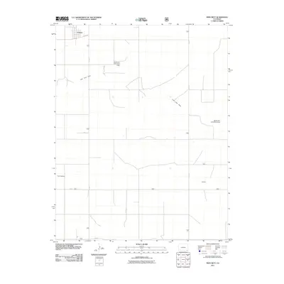
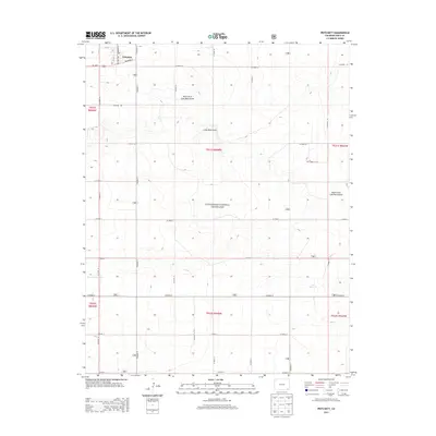
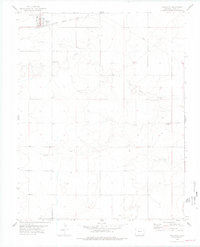 1978 Pritchett1978 Print · USGSPritchett and the surrounding Baca County plains are shown in the late seventies as the region maintained its rail-and-ranching identity. Researchers can locate family roots at Number Five Cemetery or trace the Atchison Topeka and Santa Fe line.
 - 1984 Map of Springfield
 1984 Springfield1984 Print · USGSThe high plains of Colorado and the neighboring corners of Kansas and Oklahoma are captured here in the mid-1980s. Genealogists and historians can trace the rail-tied growth of Springfield and Walsh or locate rural outposts like Bisonte, Edler, and Kirkwell.
 - 1996 Map of Pritchett, 2000 Print
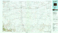
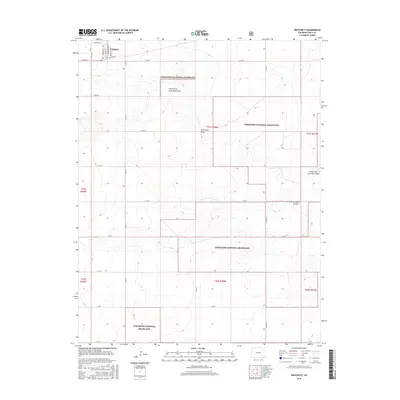
 1996 Pritchett2000 Print · USGSPritchett and the surrounding High Plains are captured here in the mid-1990s during a period of agricultural and forest service management. Researchers can locate the Number Five Cem, the Colorado State University Experiment Station, and the drainage of Lone Rock Draw.
 - 2011 Map of Pritchett, 2011 Print
 2011 Pritchett2011 Print · USGSCovers Pritchett, including Baca County, United States, and other nearby areas
 - 2013 Map of Pritchett, 2013 Print
 2013 Pritchett2013 Print · USGSCovers Pritchett, including Baca County, United States, and other nearby areas
 - 2016 Map of Pritchett, 2016 Print
 2016 Pritchett2016 Print · USGSCovers Pritchett, including Baca County, United States, and other nearby areas
 - 2019 Map of Pritchett, 2019 Print
 2019 Pritchett2019 Print · USGSCovers Pritchett, including Baca County, United States, and other nearby areas
 - 2022 Map of Pritchett, 2022 Print
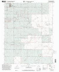
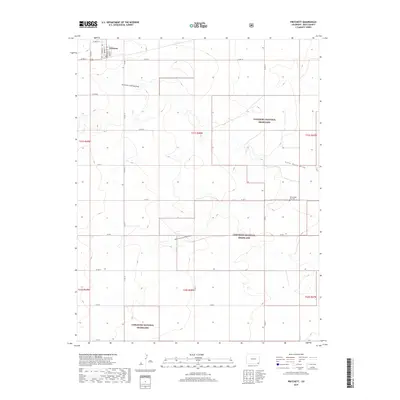
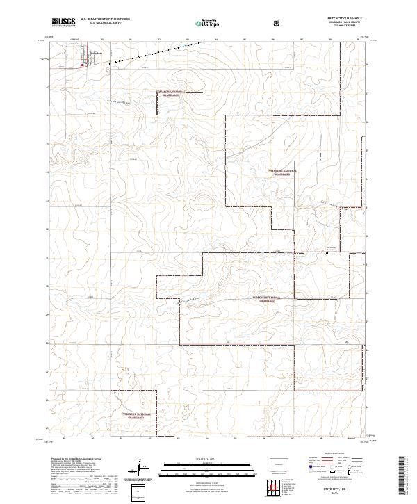 2022 Pritchett2022 Print · USGSIn the open ranchlands of Baca County, this modern survey shows the village of Pritchett as it sits among the protected acres of the Comanche National Grassland. Researchers can locate historic sites like the Old Number Two Cemetery and trace seasonal watercourses like Lone Rock Draw.
End of results
Showing maps 1-13 of 13
Top cities near Pritchett
Frequently asked questions
- What are the different types of historical maps available for Pritchett?
- What is the oldest map of Pritchett?
- Where can I purchase historical maps of Pritchett for my home or office?
- Where can I download high-res historical maps of Pritchett?
- Are there historical topographic maps available for Pritchett?
- Is there historical aerial imagery available for Pritchett?
- Where are historical maps of Pritchett sourced from?