Old Maps of Basalt, Colorado for Metal Detecting
Plan your next treasure hunt with 18 historic maps of Basalt. Find old homesites, ghost towns, trails, and gathering spots that may be lost to time — perfect for identifying promising metal detecting locations.
- Locate forgotten sites: Uncover places like long-lost settlements, abandoned rail lines, or gathering spots.
- Plan better hunts: Use map overlays combined with LiDAR or satellite views to narrow in on historically rich areas.
- Made for detectorists: Thousands of hobbyists use these maps to discover relics, coins, and hidden history.
Use these historic maps to boost your research and find new opportunities beneath the surface of Basalt.
Basalt, CO maps
(18)- 1957 Map of Leadville, 1978 Print
 1957 Leadville1978 Print · USGSHigh-country mining and rail transport define the central Colorado Rockies during the mid-to-late twentieth century. Researchers can trace the industrial footprints of Gilman and Climax, find small rail stops like Malta, and follow the Denver and Rio Grande Western RR.2 unique versions available
 - 1959 Map of Leadville
 1959 Leadville1959 Print · USGSThe Colorado high country in the late fifties is a landscape of mining history and military training, from the streets of Leadville to the Camp Hale grounds. Genealogists and historians can trace the Denver and Rio Grande Western RR alongside now-deserted sites like Ashcroft and Independence.
 - 1960 Map of Leadville
 1960 Leadville1960 Print · USGSThe Colorado high country in the mid-fifties comes alive through its mining camps, river valleys, and rail lines. Trace the industrial legacy of the Climax Molybdenum Mine and explore the alpine reaches of the Camp Hale Military Reservation.2 unique versions available
 - 1961 Map of Leon, 1963 Print
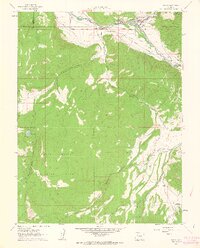
 1961 Leon1963 Print · USGSThe Roaring Fork Valley in the early 1960s shows a landscape of mountain ranching and early development. Follow the tracks of the Denver and Rio Grande Western near El Jebel or trace the irrigation lines of the Home Supply Ditch.4 unique versions available
 - 1961 Map of Basalt, 1963 Print
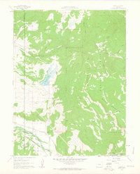
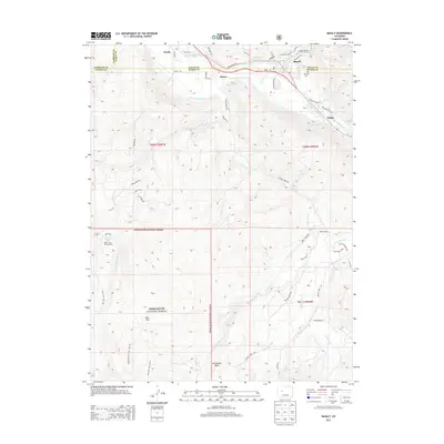
 1961 Basalt1963 Print · USGSThe Roaring Fork Valley in the early sixties was a landscape of rail transit and mountain agriculture. Trace the course of the Denver and Rio Grande Western Railroad past Emma and Wingo or locate the St Benedict Monastery near Capitol Creek.6 unique versions available
 - 1962 Map of Leadville
 1962 Leadville1962 Print · USGSThe Colorado high country in the early sixties was a rugged landscape of mining camps, military training grounds, and emerging ski towns. Researchers can trace the legacy of Camp Hale, locate the Molybdenum mine near Leadville, and follow the Denver and Rio Grande Western RR through the canyons.
 - 1964 Map of Leadville
 1964 Leadville1964 Print · USGSColorado's high country is captured here during the mid-1960s, showing the intersection of mining history and mountain transport. Trace the legacy of high-altitude industry at the Climax Molybdenum Mine or follow the rails of the Colorado and Southern Ry past Leadville.
 - 1982 Map of Carbondale, 1983 Print
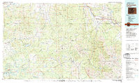 1982 Carbondale1983 Print · USGSThe Roaring Fork Valley and Colorado River corridor are captured here in the early eighties as ranching and mountain industry shaped the landscape. Genealogists and historians can trace the paths of the Denver and Rio Grande Western through old settlements like Satank, Redstone, and Marble.
 - 2011 Map of Basalt, 2011 Print
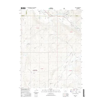
 2011 Basalt2011 Print · USGSCovers Basalt, including Wingo, Hooks, and other nearby areas
 - 2011 Map of Leon, 2011 Print
 2011 Leon2011 Print · USGSCovers Basalt, including El Jebel, Leon, and other nearby areas
 - 2013 Map of Leon, 2013 Print
 2013 Leon2013 Print · USGSCovers Basalt, including El Jebel, Leon, and other nearby areas
 - 2013 Map of Basalt, 2013 Print
 2013 Basalt2013 Print · USGSCovers Basalt, including Wingo, Hooks, and other nearby areas
 - 2016 Map of Leon, 2016 Print
 2016 Leon2016 Print · USGSCovers Basalt, including El Jebel, Leon, and other nearby areas
 - 2016 Map of Basalt, 2016 Print
 2016 Basalt2016 Print · USGSCovers Basalt, including Wingo, Hooks, and other nearby areas
 - 2019 Map of Basalt, 2019 Print
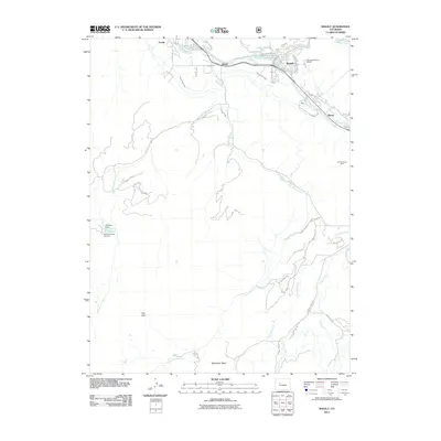
 2019 Basalt2019 Print · USGSCovers Basalt, including Wingo, Hooks, and other nearby areas
 - 2019 Map of Leon, 2019 Print
 2019 Leon2019 Print · USGSCovers Basalt, including El Jebel, Leon, and other nearby areas
 - 2022 Map of Leon, 2022 Print
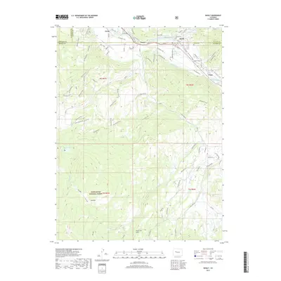
 2022 Leon2022 Print · USGSModern development meets rugged high-country terrain in the Roaring Fork valley during the early twenty-first century. Genealogists and local historians can trace residential growth around El Jebel and Basalt while mapping the trails and water systems like the Home Supply Ditch.
 - 2022 Map of Basalt, 2022 Print
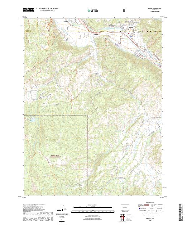 2022 Basalt2022 Print · USGSThe Roaring Fork Valley is captured in recent years as it balances historic ranching roots with alpine recreation. Trace the paths of the Home Supply Ditch and the Rio Grande Trl near Emma and the Fairview Cem.
End of results
Showing maps 1-18 of 18
Top cities near Basalt
- Gypsum historical maps
- Aspen historical maps
- Carbondale historical maps
- El Jebel historical maps
- Snowmass Village historical maps
Top neighborhoods of Basalt
Frequently asked questions
- What are the different types of historical maps available for Basalt?
- What is the oldest map of Basalt?
- Where can I purchase historical maps of Basalt for my home or office?
- Where can I download high-res historical maps of Basalt?
- Are there historical topographic maps available for Basalt?
- Is there historical aerial imagery available for Basalt?
- Where are historical maps of Basalt sourced from?