Old Maps of Carbondale, Colorado
Explore 18 old maps of Carbondale, spanning from 1957 to today. These high-resolution historic maps reveal how streets, neighborhoods, landmarks, and natural features evolved over time — perfect for genealogy, metal detecting, research, and local history exploration.
What you can do with these maps:
- See how Carbondale changed over time: Compare historical maps to modern-day views to trace roads, homesites, rail lines & more.
- View detailed metadata: Each map includes creators, publishers, year, scale, and archive source.
- Overlay maps with satellite & LiDAR: Visualize the past alongside modern tools to explore terrain & human change.
- Trusted historical sources: Maps sourced from the USGS, Library of Congress, and other archives.
- Access maps your way: View online, download high-res files, or order prints for personal or research use.
Start exploring old maps of Carbondale to uncover forgotten places, hidden landmarks, and the deep history beneath your feet.
Carbondale, CO maps
(18)- 1957 Map of Leadville, 1978 Print
 1957 Leadville1978 Print · USGSHigh-country mining and rail transport define the central Colorado Rockies during the mid-to-late twentieth century. Researchers can trace the industrial footprints of Gilman and Climax, find small rail stops like Malta, and follow the Denver and Rio Grande Western RR.2 unique versions available
 - 1959 Map of Leadville
 1959 Leadville1959 Print · USGSThe Colorado high country in the late fifties is a landscape of mining history and military training, from the streets of Leadville to the Camp Hale grounds. Genealogists and historians can trace the Denver and Rio Grande Western RR alongside now-deserted sites like Ashcroft and Independence.
 - 1960 Map of Leadville
 1960 Leadville1960 Print · USGSThe Colorado high country in the mid-fifties comes alive through its mining camps, river valleys, and rail lines. Trace the industrial legacy of the Climax Molybdenum Mine and explore the alpine reaches of the Camp Hale Military Reservation.2 unique versions available
 - 1961 Map of Mount Sopris, 1963 Print
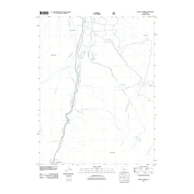
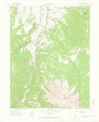 1961 Mount Sopris1963 Print · USGSMount Sopris and the Crystal River valley are shown here in the early sixties as a landscape of alpine peaks and early transit corridors. Researchers can trace the Old Railroad Grade or locate high-altitude landmarks like Thomas Lakes and St John Res.5 unique versions available
 - 1961 Map of Carbondale, 1963 Print
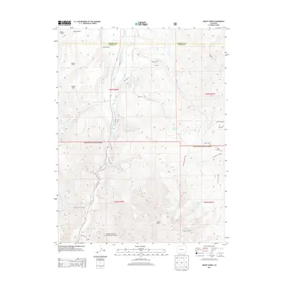
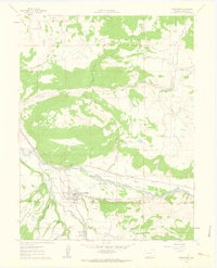 1961 Carbondale1963 Print · USGSCarbondale and the Roaring Fork Valley are documented here in the early sixties as a thriving agricultural and rail-oriented community. Researchers can trace historic irrigation lines, early settlements like Sutank, and local landmarks including Fisher Cem and Rocky Mountain Sch.8 unique versions available
 - 1962 Map of Leadville
 1962 Leadville1962 Print · USGSThe Colorado high country in the early sixties was a rugged landscape of mining camps, military training grounds, and emerging ski towns. Researchers can trace the legacy of Camp Hale, locate the Molybdenum mine near Leadville, and follow the Denver and Rio Grande Western RR through the canyons.
 - 1964 Map of Leadville
 1964 Leadville1964 Print · USGSColorado's high country is captured here during the mid-1960s, showing the intersection of mining history and mountain transport. Trace the legacy of high-altitude industry at the Climax Molybdenum Mine or follow the rails of the Colorado and Southern Ry past Leadville.
 - 1982 Map of Carbondale, 1983 Print
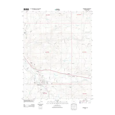
 1982 Carbondale1983 Print · USGSThe Roaring Fork Valley and Colorado River corridor are captured here in the early eighties as ranching and mountain industry shaped the landscape. Genealogists and historians can trace the paths of the Denver and Rio Grande Western through old settlements like Satank, Redstone, and Marble.
 - 2010 Map of Carbondale, 2010 Print
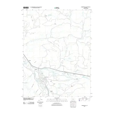 2010 Carbondale2010 Print · USGSCovers Carbondale, including Satank, Catherine, and other nearby areas
 - 2011 Map of Mount Sopris, 2011 Print
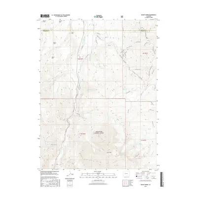
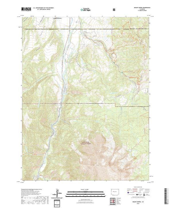
 2011 Mount Sopris2011 Print · USGSCovers Carbondale, including Garfield County, Pitkin County, and other nearby areas
 - 2013 Map of Mount Sopris, 2013 Print
 2013 Mount Sopris2013 Print · USGSCovers Carbondale, including Garfield County, Pitkin County, and other nearby areas
 - 2013 Map of Carbondale, 2013 Print
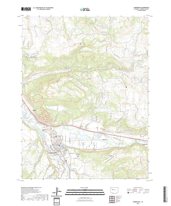
 2013 Carbondale2013 Print · USGSCovers Carbondale, including Satank, Catherine, and other nearby areas
 - 2016 Map of Carbondale, 2016 Print
 2016 Carbondale2016 Print · USGSCovers Carbondale, including Satank, Catherine, and other nearby areas
 - 2016 Map of Mount Sopris, 2016 Print
 2016 Mount Sopris2016 Print · USGSCovers Carbondale, including Garfield County, Pitkin County, and other nearby areas
 - 2019 Map of Carbondale, 2019 Print
 2019 Carbondale2019 Print · USGSCovers Carbondale, including Satank, Catherine, and other nearby areas
 - 2019 Map of Mount Sopris, 2019 Print
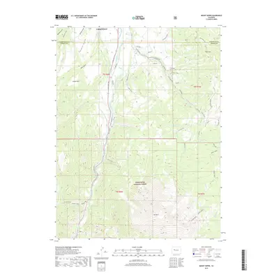 2019 Mount Sopris2019 Print · USGSCovers Carbondale, including Garfield County, Pitkin County, and other nearby areas
 - 2022 Map of Carbondale, 2022 Print
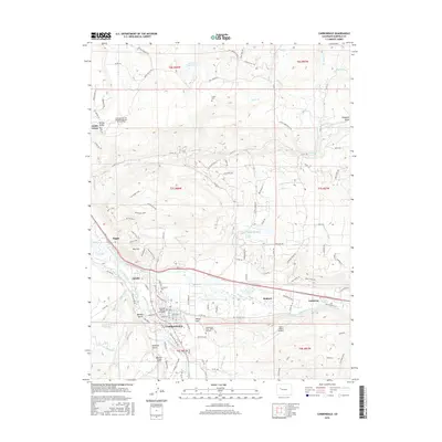
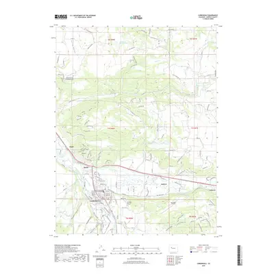
 2022 Carbondale2022 Print · USGSCarbondale and the Roaring Fork Valley are shown here in the 2020s, highlighting the area's deep ranching and river history. Researchers can trace irrigation works like Sweet Jessup Canal and find local landmarks such as Evergreen Cem and Satank.
 - 2022 Map of Mount Sopris, 2022 Print
 2022 Mount Sopris2022 Print · USGSThe high country of Pitkin County meets the valley floor in the 2020s, dominated by the peaks of the White River National Forest. Trace the complex water system from Thomas Lakes down through the Sweet Jessup Ditch to the Crystal River.
End of results
Showing maps 1-18 of 18
Top cities near Carbondale
Frequently asked questions
- What are the different types of historical maps available for Carbondale?
- What is the oldest map of Carbondale?
- Where can I purchase historical maps of Carbondale for my home or office?
- Where can I download high-res historical maps of Carbondale?
- Are there historical topographic maps available for Carbondale?
- Is there historical aerial imagery available for Carbondale?
- Where are historical maps of Carbondale sourced from?