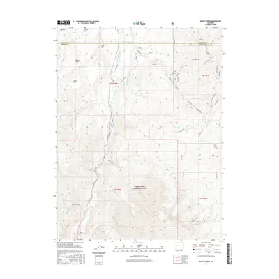
2016 Map of Mount Sopris
USGS Topo · Published 2016About this map
Mount Sopris dominates this high-altitude landscape within the White River National Forest, where the transition from steep mountain slopes to irrigated valley floors is clearly defined. The hydrological management of the region is evident through an extensive network of man-made waterways like the Ella Ditch, Sweet Jessup Canal, and Bain-Thomas Ditch, which divert water from the Crystal River and its tributaries to support the surrounding ranchlands. To the north, the plateau known as The Crown overlooks the confluence of these water systems and several gulches, including Bowles Gulch and Smith Gulch. Recreational and utilitarian paths are densely mapped, from the Mt Sopris Trail climbing toward the twin peaks to specialized routes like the Skull Bucket Trail and Creek Side trail. Notable water bodies such as Thomas Lakes and the Saint John Reservoir reflect the intersection of natural beauty and historical water rights crucial to this part of Colorado.
Find a feature on this map
64 named features on this map. Tap any name to fly to it.
Don’t see what you’re looking for? This feature index may not catch every label — zoom into the map to look around manually.
Map Details
Editions of this 2016 Mount Sopris Map
This is the sole edition of this map. No revisions or reprints were ever made.
Other maps of this area
1957 · Leadville
USGS Topo · 1:250,000
1959 · Leadville
USGS Topo · 1:250,000
1960 · Leadville
USGS Topo · 1:250,000
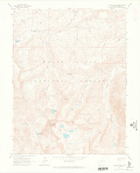
1960 · Capitol Peak
USGS Topo · 1:24,000
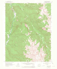
1960 · Redstone
USGS Topo · 1:24,000
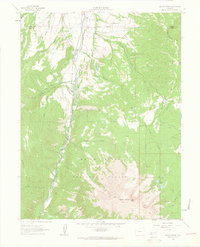
1961 · Mount Sopris
USGS Topo · 1:24,000
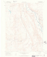
1961 · Cattle Creek
USGS Topo · 1:24,000
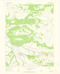
1961 · Carbondale
USGS Topo · 1:24,000
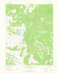
1961 · Leon
USGS Topo · 1:24,000
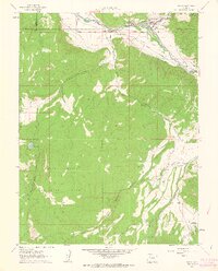
1961 · Basalt
USGS Topo · 1:24,000