Old Maps of Hilton, Colorado for Metal Detecting
Plan your next treasure hunt with 11 historic maps of Hilton. Find old homesites, ghost towns, trails, and gathering spots that may be lost to time — perfect for identifying promising metal detecting locations.
- Locate forgotten sites: Uncover places like long-lost settlements, abandoned rail lines, or gathering spots.
- Plan better hunts: Use map overlays combined with LiDAR or satellite views to narrow in on historically rich areas.
- Made for detectorists: Thousands of hobbyists use these maps to discover relics, coins, and hidden history.
Use these historic maps to boost your research and find new opportunities beneath the surface of Hilton.
Hilton, CO maps
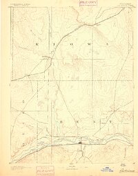
(11)- 1891 Map of Las Animas
 1891 Las Animas1891 Print · USGSSoutheast Colorado in the early 1890s centers on the confluence of the Arkansas River and Purgatoire River at Las Animas. Researchers can trace the early rail networks of the Atchison Topeka and Santa Fe Railroad and find historic sites like Fort Lyon.
 - 1893 Map of Las Animas
 1893 Las Animas1893 Print · USGSSoutheastern Colorado was a bustling corridor of rail and river commerce in the 1890s as the frontier closed. Genealogists and historians can trace the development of Las Animas and Fort Lyon alongside the tracks of the Atchison Topeka and Santa Fe Railroad.5 unique versions available
 - 1953 Map of Kreybill, 1954 Print
 1953 Kreybill1954 Print · USGSBent County, Colorado, is captured here in the early fifties during the era of mid-century water reclamation. Genealogists and historians can trace the Old Santa Fe Trail through the area or locate local landmarks like Kreybill Sch and Beethurst.4 unique versions available
 - 1954 Map of Lamar, 1964 Print
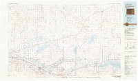
 1954 Lamar1964 Print · USGSSoutheastern Colorado and the Kansas borderlands appear here in the mid-fifties, dominated by the vital Arkansas River irrigation network. Researchers can trace the development of river towns like Lamar and La Junta alongside the Amity Cemetery and several major reservoirs.3 unique versions available
 - 1958 Map of Lamar
 1958 Lamar1958 Print · USGSThe High Plains of Eastern Colorado and Western Kansas in the late fifties reveal a landscape tied to the Arkansas River and the rails. Trace the heritage of the river valley through Fort Lyon, the Atchison Topeka and Santa Fe RR, and rural landmarks like Kendrick Church.2 unique versions available
 - 1981 Map of Las Animas
 1981 Las Animas1981 Print · USGSSoutheast Colorado in the early eighties shows a landscape shaped by the Arkansas River and vital rail lines. Genealogists can locate family sites near La Junta, Fort Lyon, and Rocky Ford, or trace the historic path of the Santa Fe Trail.
 - 2011 Map of Kreybill, 2011 Print
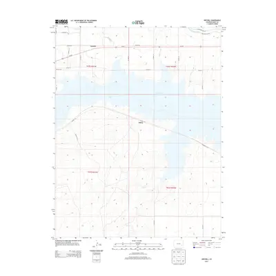
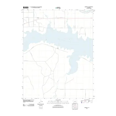 2011 Kreybill2011 Print · USGSCovers Hilton, including Kreybill, Bent County, and other nearby areas
 - 2013 Map of Kreybill, 2013 Print
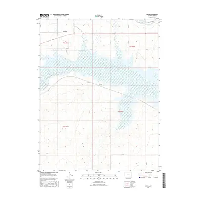
 2013 Kreybill2013 Print · USGSCovers Hilton, including Kreybill, Bent County, and other nearby areas
 - 2016 Map of Kreybill, 2016 Print
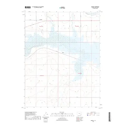
 2016 Kreybill2016 Print · USGSCovers Hilton, including Kreybill, Bent County, and other nearby areas
 - 2019 Map of Kreybill, 2019 Print
 2019 Kreybill2019 Print · USGSCovers Hilton, including Kreybill, Bent County, and other nearby areas
 - 2022 Map of Kreybill, 2022 Print
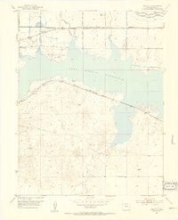
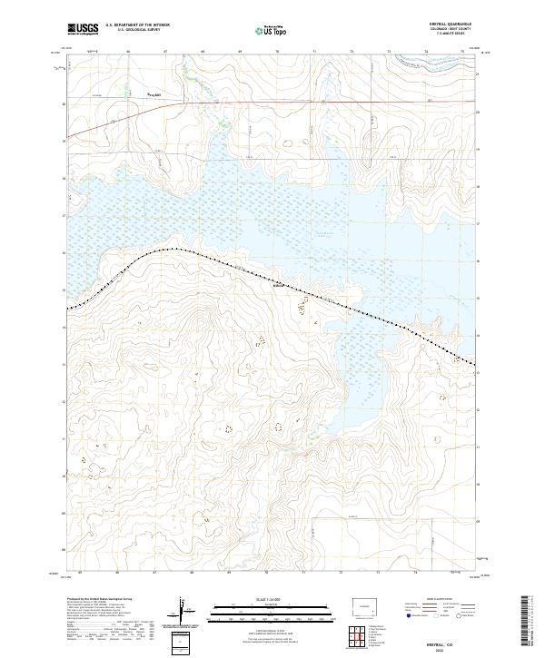 2022 Kreybill2022 Print · USGSBent County's river valley and irrigation networks are on full display in this modern survey of the plains. Researchers can trace the water infrastructure of the Arkansas River, the John Martin Reservoir, and settlements like Kreybill or Hilton.
End of results
Showing maps 1-11 of 11
Top cities near Hilton
Frequently asked questions
- What are the different types of historical maps available for Hilton?
- What is the oldest map of Hilton?
- Where can I purchase historical maps of Hilton for my home or office?
- Where can I download high-res historical maps of Hilton?
- Are there historical topographic maps available for Hilton?
- Is there historical aerial imagery available for Hilton?
- Where are historical maps of Hilton sourced from?