Old Maps of Marlman, Colorado for Hiking & Exploration
Hike through history with 11 historic maps of Marlman. Explore old trails, ghost towns, and forgotten backroads — perfect for outdoor adventurers and local explorers.
- Rediscover forgotten places: Map out old mining camps, roads, and footpaths that no longer exist on modern maps.
- Layer with modern tools: Combine with LiDAR or satellite views to plan hikes through historical terrain.
- Made for exploration: Popular among hikers, overlanders, and local history lovers.
Use these maps to find adventure and explore the hidden past of Marlman.
Marlman, CO maps
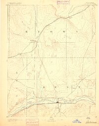
(11)- 1891 Map of Las Animas
 1891 Las Animas1891 Print · USGSSoutheast Colorado in the early 1890s centers on the confluence of the Arkansas River and Purgatoire River at Las Animas. Researchers can trace the early rail networks of the Atchison Topeka and Santa Fe Railroad and find historic sites like Fort Lyon.
 - 1893 Map of Las Animas
 1893 Las Animas1893 Print · USGSSoutheastern Colorado was a bustling corridor of rail and river commerce in the 1890s as the frontier closed. Genealogists and historians can trace the development of Las Animas and Fort Lyon alongside the tracks of the Atchison Topeka and Santa Fe Railroad.5 unique versions available
 - 1953 Map of Cornelia, 1954 Print
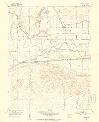 1953 Cornelia1954 Print · USGSSoutheast Colorado's river-fed agriculture is at its height in the mid-fifties, showing the complex canal networks of the high plains. Researchers can trace the path of the Atchison Topeka and Santa Fe railroad past local landmarks like Cornelia School and the Las Animas State Fish Hatchery.3 unique versions available
 - 1954 Map of Lamar, 1964 Print
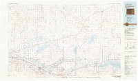
 1954 Lamar1964 Print · USGSSoutheastern Colorado and the Kansas borderlands appear here in the mid-fifties, dominated by the vital Arkansas River irrigation network. Researchers can trace the development of river towns like Lamar and La Junta alongside the Amity Cemetery and several major reservoirs.3 unique versions available
 - 1958 Map of Lamar
 1958 Lamar1958 Print · USGSThe High Plains of Eastern Colorado and Western Kansas in the late fifties reveal a landscape tied to the Arkansas River and the rails. Trace the heritage of the river valley through Fort Lyon, the Atchison Topeka and Santa Fe RR, and rural landmarks like Kendrick Church.2 unique versions available
 - 1981 Map of Las Animas
 1981 Las Animas1981 Print · USGSSoutheast Colorado in the early eighties shows a landscape shaped by the Arkansas River and vital rail lines. Genealogists can locate family sites near La Junta, Fort Lyon, and Rocky Ford, or trace the historic path of the Santa Fe Trail.
 - 2010 Map of Cornelia, 2010 Print
 2010 Cornelia2010 Print · USGSCovers Marlman, including Cornelia, Bent County, and other nearby areas
 - 2013 Map of Cornelia, 2013 Print
 2013 Cornelia2013 Print · USGSCovers Marlman, including Cornelia, Bent County, and other nearby areas
 - 2016 Map of Cornelia, 2016 Print
 2016 Cornelia2016 Print · USGSCovers Marlman, including Cornelia, Bent County, and other nearby areas
 - 2019 Map of Cornelia, 2019 Print
 2019 Cornelia2019 Print · USGSCovers Marlman, including Cornelia, Bent County, and other nearby areas
 - 2022 Map of Cornelia, 2022 Print
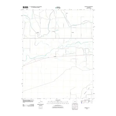
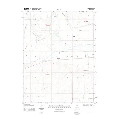
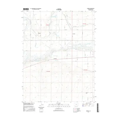
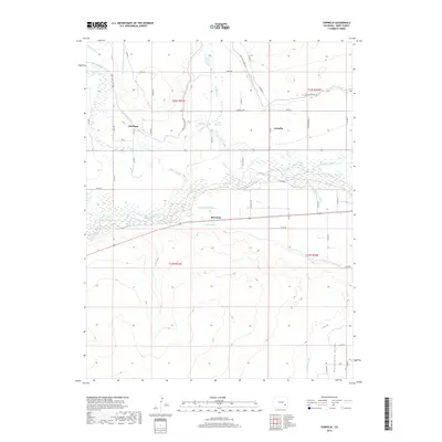
 2022 Cornelia2022 Print · USGSBent County's agricultural heartland is captured in this modern survey of the Arkansas River valley's intricate irrigation network. Researchers can trace the layout of small settlements like Marlman and Cornelia alongside vital waterworks including the Fort Lyon Canal and Jones Ditch.
End of results
Showing maps 1-11 of 11
Top cities near Marlman
Frequently asked questions
- What are the different types of historical maps available for Marlman?
- What is the oldest map of Marlman?
- Where can I purchase historical maps of Marlman for my home or office?
- Where can I download high-res historical maps of Marlman?
- Are there historical topographic maps available for Marlman?
- Is there historical aerial imagery available for Marlman?
- Where are historical maps of Marlman sourced from?