Old Maps of Nathrop, Colorado for Metal Detecting
Plan your next treasure hunt with 13 historic maps of Nathrop. Find old homesites, ghost towns, trails, and gathering spots that may be lost to time — perfect for identifying promising metal detecting locations.
- Locate forgotten sites: Uncover places like long-lost settlements, abandoned rail lines, or gathering spots.
- Plan better hunts: Use map overlays combined with LiDAR or satellite views to narrow in on historically rich areas.
- Made for detectorists: Thousands of hobbyists use these maps to discover relics, coins, and hidden history.
Use these historic maps to boost your research and find new opportunities beneath the surface of Nathrop.
Nathrop, CO maps
(13)- 1956 Map of Poncha Springs, 1959 Print
 1956 Poncha Springs1959 Print · USGSThe Arkansas River valley comes alive in the mid-1950s, showing the intersection of mountain ranching, early tourism, and the Denver and Rio Grande Western Railroad. Trace local history through Smeltertown, Maysville, and rural landmarks like the Valley View Sch.6 unique versions available
 - 1956 Map of Montrose, 1963 Print
 1956 Montrose1963 Print · USGSThe Colorado western slope in the late fifties and early sixties shows a landscape defined by the Denver & Rio Grande Western RR and the Gunnison River. Trace the development of Blue Mesa Reservoir or locate high-country sites like the Bachelor Mine.3 unique versions available
 - 1959 Map of Montrose
 1959 Montrose1959 Print · USGSWestern Colorado in the late fifties is defined by the high peaks and river valleys of the Southern Rockies. Genealogists and historians can trace the paths of the Denver & Rio Grande Western RR or locate mountain settlements like Crawford, Lazear, and Doyleville.
 - 1960 Map of Montrose
 1960 Montrose1960 Print · USGSThe Colorado high country in the mid-fifties is captured here during a period of steady ranching and persistent mining. Researchers can trace the path of the Denver & Rio Grande Western RR or locate small settlements like Somerset, Maher, and Sargent.2 unique versions available
 - 1968 Map of Montrose
 1968 Montrose1968 Print · USGSThe Western Slope and Continental Divide meet in the late sixties, showing the vital river valleys and high-mountain mining districts. Trace the historic route of the Denver and Rio Grande Western RR or locate small settlements like Sargents and Powderhorn.
 - 1983 Map of Nathrop
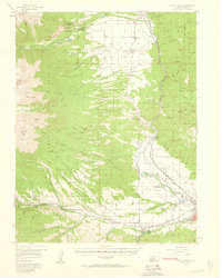
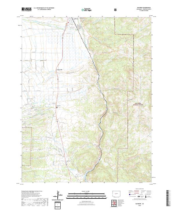
 1983 Nathrop1983 Print · USGSUpper Arkansas River valley life in the early eighties is captured here as the railroad still tracks the river's edge. Researchers can trace the layout of Nathrop, find the Centerville Cem, and explore the canyon terrain near Hecla Junction.
 - 1984 Map of Gunnison
 1984 Gunnison1984 Print · USGSHigh mountain passes and historic mining districts define this mid-eighties record of the central Colorado Rockies. Genealogists and historians can trace the foundations of Gunnison and Crested Butte or locate remote sites like St Elmo, Tincup, and Hancock.2 unique versions available
 - 1994 Map of Nathrop, 1998 Print
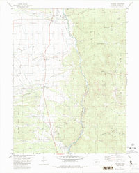
 1994 Nathrop1998 Print · USGSChaffee County in the mid-1990s shows the Arkansas River valley's transition from agricultural hubs to forest land. Researchers can locate the Centerville Cem, trace the Railroad through Browns Canyon, and find old Mines near Hecla Junction.
 - 2011 Map of Nathrop, 2011 Print
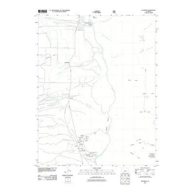 2011 Nathrop2011 Print · USGSCovers Nathrop, including Centerville, Chaffee County, and other nearby areas
 - 2013 Map of Nathrop, 2013 Print
 2013 Nathrop2013 Print · USGSCovers Nathrop, including Centerville, Chaffee County, and other nearby areas
 - 2016 Map of Nathrop, 2016 Print
 2016 Nathrop2016 Print · USGSCovers Nathrop, including Centerville, Chaffee County, and other nearby areas
 - 2019 Map of Nathrop, 2019 Print
 2019 Nathrop2019 Print · USGSCovers Nathrop, including Centerville, Chaffee County, and other nearby areas
 - 2022 Map of Nathrop, 2022 Print
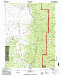
 2022 Nathrop2022 Print · USGSUpper Arkansas River Valley life is captured here in Chaffee County, centered on the historic settlements and ranching lands of the modern era. Genealogists and historians can trace family locations near the Centerville Cem or follow the paths through Browns Canyon and the San Isabel National Forest.
End of results
Showing maps 1-13 of 13
Top cities near Nathrop
- Salida historical maps
- Buena Vista historical maps
- Poncha Springs historical maps
- Alpine historical maps
- Smeltertown historical maps
Frequently asked questions
- What are the different types of historical maps available for Nathrop?
- What is the oldest map of Nathrop?
- Where can I purchase historical maps of Nathrop for my home or office?
- Where can I download high-res historical maps of Nathrop?
- Are there historical topographic maps available for Nathrop?
- Is there historical aerial imagery available for Nathrop?
- Where are historical maps of Nathrop sourced from?