Old Maps of Smeltertown, Colorado for Academic Research
Study the evolution of Smeltertown with 13 high-resolution historic maps. Whether you're teaching, researching, or modeling changes in land use, these maps provide essential visual documentation of urban, environmental, and geographic change.
- Analyze long-term change: Track patterns in development, transportation, and natural features.
- Ideal for environmental or urban studies: Support academic projects with primary historical map data.
- Use in the classroom or lab: Educators and researchers rely on these maps to bring historical context to life.
These maps are a powerful tool for teaching, research, and visualizing how Smeltertown has changed over the decades.
Smeltertown, CO maps
(13)- 1956 Map of Poncha Springs, 1959 Print
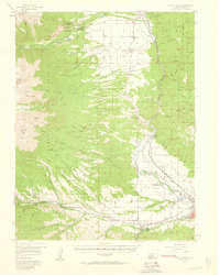 1956 Poncha Springs1959 Print · USGSThe Arkansas River valley comes alive in the mid-1950s, showing the intersection of mountain ranching, early tourism, and the Denver and Rio Grande Western Railroad. Trace local history through Smeltertown, Maysville, and rural landmarks like the Valley View Sch.6 unique versions available
 - 1956 Map of Montrose, 1963 Print
 1956 Montrose1963 Print · USGSThe Colorado western slope in the late fifties and early sixties shows a landscape defined by the Denver & Rio Grande Western RR and the Gunnison River. Trace the development of Blue Mesa Reservoir or locate high-country sites like the Bachelor Mine.3 unique versions available
 - 1959 Map of Montrose
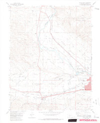
 1959 Montrose1959 Print · USGSWestern Colorado in the late fifties is defined by the high peaks and river valleys of the Southern Rockies. Genealogists and historians can trace the paths of the Denver & Rio Grande Western RR or locate mountain settlements like Crawford, Lazear, and Doyleville.
 - 1960 Map of Montrose
 1960 Montrose1960 Print · USGSThe Colorado high country in the mid-fifties is captured here during a period of steady ranching and persistent mining. Researchers can trace the path of the Denver & Rio Grande Western RR or locate small settlements like Somerset, Maher, and Sargent.2 unique versions available
 - 1968 Map of Montrose
 1968 Montrose1968 Print · USGSThe Western Slope and Continental Divide meet in the late sixties, showing the vital river valleys and high-mountain mining districts. Trace the historic route of the Denver and Rio Grande Western RR or locate small settlements like Sargents and Powderhorn.
 - 1983 Map of Salida West
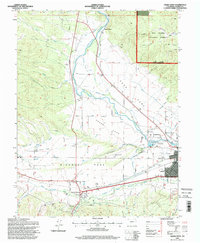
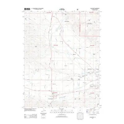
 1983 Salida West1983 Print · USGSChaffee County during the early 1980s reveals a mountain valley anchored by the Arkansas River and the industrial roots of Smeltertown. Researchers can locate family landmarks such as Fairview Cem, the Shavano State Fish Hatchery, and the Denver and Rio Grande Western rail line.3 unique versions available
 - 1984 Map of Gunnison
 1984 Gunnison1984 Print · USGSHigh mountain passes and historic mining districts define this mid-eighties record of the central Colorado Rockies. Genealogists and historians can trace the foundations of Gunnison and Crested Butte or locate remote sites like St Elmo, Tincup, and Hancock.2 unique versions available
 - 1994 Map of Salida West, 1998 Print
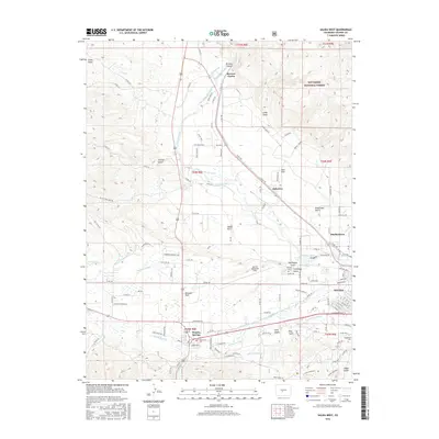
 1994 Salida West1998 Print · USGSThe Upper Arkansas River Valley in the mid-nineties shows a landscape shaped by high-altitude ranching, mining, and river industry. Researchers can trace the irrigation networks of Adobe Park or locate the Shavano State Fish Hatchery and Smeltertown.
 - 2011 Map of Salida West, 2011 Print
 2011 Salida West2011 Print · USGSCovers Smeltertown, including Salida, Poncha Springs, and other nearby areas
 - 2013 Map of Salida West, 2013 Print
 2013 Salida West2013 Print · USGSCovers Smeltertown, including Salida, Poncha Springs, and other nearby areas
 - 2016 Map of Salida West, 2016 Print
 2016 Salida West2016 Print · USGSCovers Smeltertown, including Salida, Poncha Springs, and other nearby areas
 - 2019 Map of Salida West, 2019 Print
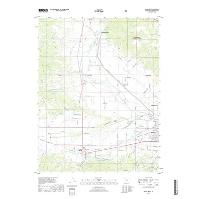 2019 Salida West2019 Print · USGSCovers Smeltertown, including Salida, Poncha Springs, and other nearby areas
 - 2023 Map of Salida West, 2023 Print
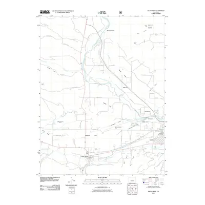
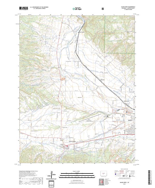 2023 Salida West2023 Print · USGSUpper Arkansas River valley life is documented in this recent survey, showing the intricate irrigation systems surrounding Poncha Springs. Trace historical cemetery sites like Fairview Cem and Woodlawn Cem or follow the paths of the Sunnyside Park Ditch and Kraft Ditch.
End of results
Showing maps 1-13 of 13
Top cities near Smeltertown
Frequently asked questions
- What are the different types of historical maps available for Smeltertown?
- What is the oldest map of Smeltertown?
- Where can I purchase historical maps of Smeltertown for my home or office?
- Where can I download high-res historical maps of Smeltertown?
- Are there historical topographic maps available for Smeltertown?
- Is there historical aerial imagery available for Smeltertown?
- Where are historical maps of Smeltertown sourced from?