Old Maps of Paonia, Colorado for Academic Research
Study the evolution of Paonia with 19 high-resolution historic maps. Whether you're teaching, researching, or modeling changes in land use, these maps provide essential visual documentation of urban, environmental, and geographic change.
- Analyze long-term change: Track patterns in development, transportation, and natural features.
- Ideal for environmental or urban studies: Support academic projects with primary historical map data.
- Use in the classroom or lab: Educators and researchers rely on these maps to bring historical context to life.
These maps are a powerful tool for teaching, research, and visualizing how Paonia has changed over the decades.
Paonia, CO maps
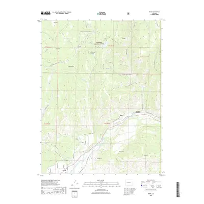
(19)- 1956 Map of Montrose, 1963 Print
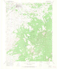
 1956 Montrose1963 Print · USGSThe Colorado western slope in the late fifties and early sixties shows a landscape defined by the Denver & Rio Grande Western RR and the Gunnison River. Trace the development of Blue Mesa Reservoir or locate high-country sites like the Bachelor Mine.3 unique versions available
 - 1959 Map of Montrose
 1959 Montrose1959 Print · USGSWestern Colorado in the late fifties is defined by the high peaks and river valleys of the Southern Rockies. Genealogists and historians can trace the paths of the Denver & Rio Grande Western RR or locate mountain settlements like Crawford, Lazear, and Doyleville.
 - 1960 Map of Montrose
 1960 Montrose1960 Print · USGSThe Colorado high country in the mid-fifties is captured here during a period of steady ranching and persistent mining. Researchers can trace the path of the Denver & Rio Grande Western RR or locate small settlements like Somerset, Maher, and Sargent.2 unique versions available
 - 1965 Map of Paonia, 1968 Print
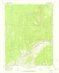
 1965 Paonia1968 Print · USGSDuring the mid-sixties, the agricultural landscape around Paonia relied on an intricate web of ditches and the Denver and Rio Grande Western rail line. Genealogists and historians can locate the Stewart Mesa Sch, Bethlehem Cem, and numerous named springs like Corral Spring.5 unique versions available
 - 1965 Map of Bowie, 1968 Print
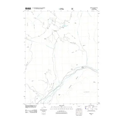
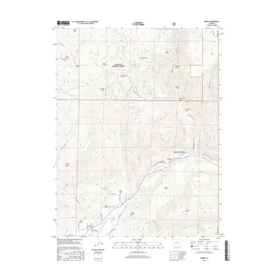
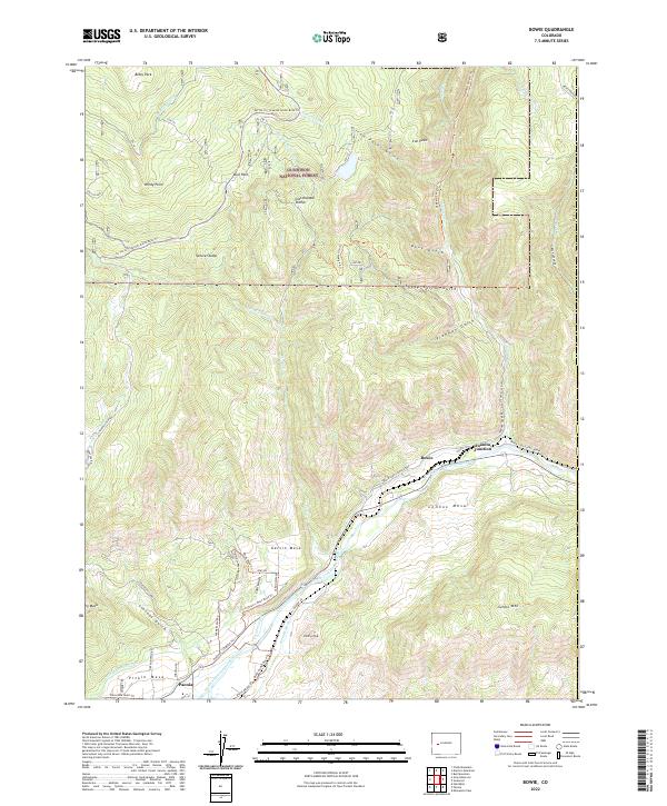
 1965 Bowie1968 Print · USGSDelta County industry and high-country grazing meet along the river in the 1960s. Researchers can trace the railroad economy at Bowie and Juanita Junction or locate remote sites like Julian Ditch Camp and the Blue Ribbon Mine.6 unique versions available
 - 1968 Map of Montrose
 1968 Montrose1968 Print · USGSThe Western Slope and Continental Divide meet in the late sixties, showing the vital river valleys and high-mountain mining districts. Trace the historic route of the Denver and Rio Grande Western RR or locate small settlements like Sargents and Powderhorn.
 - 1983 Map of Paonia
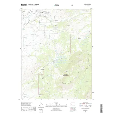
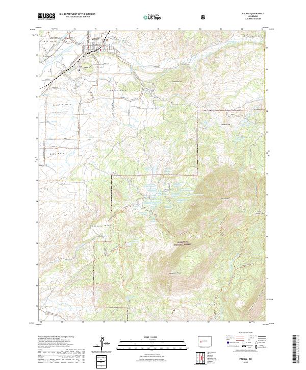
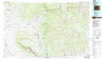 1983 Paonia1983 Print · USGSWestern Colorado's North Fork Valley and West Elk high country are shown here in the early eighties as a hub of coal mining and orchard farming. Researchers can trace historic extraction sites like the Colby Mine, rural settlements such as Maher, and landmarks like the Hotchkiss Nat Fish Hatchery.2 unique versions available
 - 2001 Map of Bowie, 2004 Print
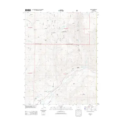
 2001 Bowie2004 Print · USGSThe coal and water networks of Delta County are in full view around the turn of the millennium. Trace the industrial landscape of the Bowie Mine and Juanita Junction, or locate family-named landmarks like Morrell Cow Camp and Stevens Gulch.
 - 2001 Map of Paonia, 2004 Print
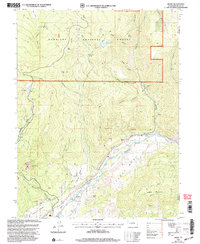
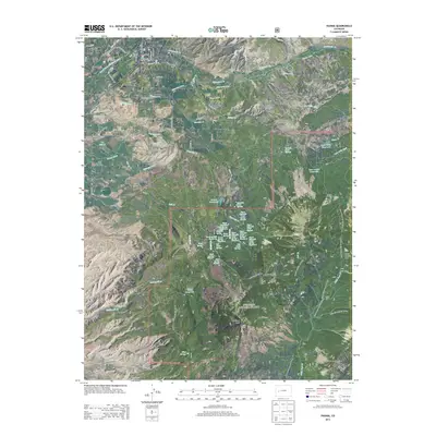
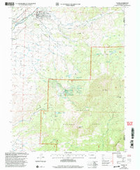 2001 Paonia2004 Print · USGSPaonia and the surrounding mesas at the turn of the millennium show a landscape defined by high-altitude agriculture and the West Elk wilderness. Genealogists can locate family landmarks like Bethlehem Cem, the Stewart Mesa Sch, and the namesake peaks of Mount Lamborn and Landsend Peak.
 - 2011 Map of Paonia, 2011 Print
 2011 Paonia2011 Print · USGSCovers Paonia, including Delta County, Gunnison County, and other nearby areas
 - 2011 Map of Bowie, 2011 Print
 2011 Bowie2011 Print · USGSCovers Paonia, including Bowie, Juanita Junction, and other nearby areas
 - 2013 Map of Bowie, 2013 Print
 2013 Bowie2013 Print · USGSCovers Paonia, including Bowie, Juanita Junction, and other nearby areas
 - 2013 Map of Paonia, 2013 Print
 2013 Paonia2013 Print · USGSCovers Paonia, including Delta County, Gunnison County, and other nearby areas
 - 2016 Map of Bowie, 2016 Print
 2016 Bowie2016 Print · USGSCovers Paonia, including Bowie, Juanita Junction, and other nearby areas
 - 2016 Map of Paonia, 2016 Print
 2016 Paonia2016 Print · USGSCovers Paonia, including Delta County, Gunnison County, and other nearby areas
 - 2019 Map of Paonia, 2019 Print
 2019 Paonia2019 Print · USGSCovers Paonia, including Delta County, Gunnison County, and other nearby areas
 - 2019 Map of Bowie, 2019 Print
 2019 Bowie2019 Print · USGSCovers Paonia, including Bowie, Juanita Junction, and other nearby areas
 - 2022 Map of Bowie, 2022 Print
 2022 Bowie2022 Print · USGSThe North Fork Valley in the 2020s shows a landscape shaped by water engineering and coal history. Trace irrigation networks like the Fire Mountain Canal and find local landmarks from Bowie to Juanita Junction.
 - 2022 Map of Paonia, 2022 Print
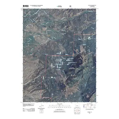
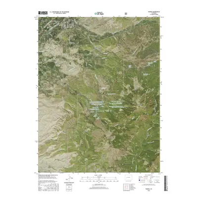
 2022 Paonia2022 Print · USGSPaonia and its surrounding mesas are documented here in the early twenty-first century, showing the intersection of mountain irrigation and high-altitude ranching. Trace early family burial sites at Bethlehem Cem and the complex ditch systems like Stewart Ditch feeding McDonald Mesa.
End of results
Showing maps 1-19 of 19
Top cities near Paonia
Frequently asked questions
- What are the different types of historical maps available for Paonia?
- What is the oldest map of Paonia?
- Where can I purchase historical maps of Paonia for my home or office?
- Where can I download high-res historical maps of Paonia?
- Are there historical topographic maps available for Paonia?
- Is there historical aerial imagery available for Paonia?
- Where are historical maps of Paonia sourced from?