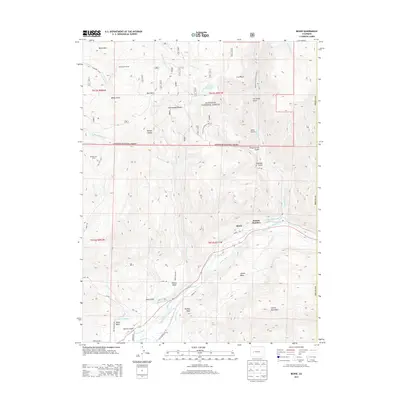
2013 Map of Bowie
USGS Topo · Published 2013About this map
Bowie and the nearby Juanita Junction sit at the southern foot of the West Elk Mountains, where the high desert terrain meets the North Fork Gunnison River. This 2013 survey illustrates an intricate network of agricultural and industrial water management, featuring systems like the Fire Mountain Canal, Terror Ditch, and Farmers Ditch that feed the productive flats of Garvin Mesa, Pitkin Mesa, and Lennox Mesa. The northern half of the landscape rises sharply into the Gunnison National Forest, defined by steep drainage basins such as Iron Point Gulch and Freeman Gulch. Historically significant locations like Julian Ditch Camp and Morrell Cow Camp point to the area's legacy of ranching and water engineering, while the presence of Coal Gulch reflects the region's long-standing connection to resource extraction along the river corridor.
Find a feature on this map
48 named features on this map. Tap any name to fly to it.
Don’t see what you’re looking for? This feature index may not catch every label — zoom into the map to look around manually.
Map Details
Editions of this 2013 Bowie Map
This is the sole edition of this map. No revisions or reprints were ever made.
Other maps of this area
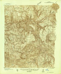
1938 · Mt. Gunnison
USGS Topo · 1:48,000
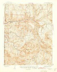
1945 · Mount Gunnison
USGS Topo · 1:62,500
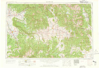
1956 · Montrose
USGS Topo · 1:250,000
1957 · Leadville
USGS Topo · 1:250,000
1959 · Leadville
USGS Topo · 1:250,000
1959 · Montrose
USGS Topo · 1:250,000
1960 · Leadville
USGS Topo · 1:250,000
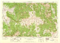
1960 · Montrose
USGS Topo · 1:250,000
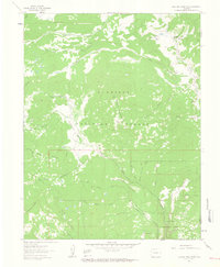
1961 · Electric Mountain
USGS Topo · 1:24,000
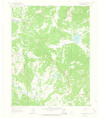
1961 · Chalk Mountain
USGS Topo · 1:24,000