Old Maps of Ellicott, Colorado for Academic Research
Study the evolution of Ellicott with 14 high-resolution historic maps. Whether you're teaching, researching, or modeling changes in land use, these maps provide essential visual documentation of urban, environmental, and geographic change.
- Analyze long-term change: Track patterns in development, transportation, and natural features.
- Ideal for environmental or urban studies: Support academic projects with primary historical map data.
- Use in the classroom or lab: Educators and researchers rely on these maps to bring historical context to life.
These maps are a powerful tool for teaching, research, and visualizing how Ellicott has changed over the decades.
Ellicott, CO maps
(14)- 1893 Map of Big Springs
 1893 Big Springs1893 Print · USGSEastern Colorado ranching country is documented here in the late nineteenth century, showing the early homesteads and water sources of the high plains. Researchers can locate the early holdings of Galloway Ranch and Hancock Ranch or trace the drainage of Black Squirrel Creek.5 unique versions available
 - 1954 Map of Ellicott, 1955 Print
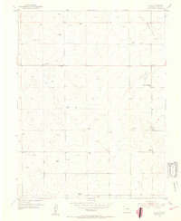 1954 Ellicott1955 Print · USGSEl Paso County’s high plains are captured here in the mid-fifties, showing a rural landscape defined by ranching and small-town infrastructure. Genealogists can trace early homesteads and landmarks like Alger Ranch, Ellicott Consolidated School, and the El Paso Telephone Exchange.3 unique versions available
 - 1954 Map of Pueblo, 1966 Print
 1954 Pueblo1966 Print · USGSMid-century Colorado comes alive in this survey of the Front Range and the high plains as the region expanded after the war. Genealogists and historians can trace family roots through rural landmarks like Hanover Church, Pioneer Cemetery, and the Grandview School.3 unique versions available
 - 1957 Map of Pueblo
 1957 Pueblo1957 Print · USGSMid-century Colorado comes alive as the Front Range urban centers expand alongside massive Cold War military installations. Genealogists and historians can trace the foundations of Stone City, rural sites like Hanover School, and the industrial Canon Imperial Mine.
 - 1958 Map of Pueblo
 1958 Pueblo1958 Print · USGSColorado's Front Range and Arkansas River Valley come alive in the late fifties, showing the transition from historic mining districts to major military and rail hubs. Genealogists and historians can trace family roots in ranching communities and find landmarks like Cripple Creek, Manitou, and the Hanover School.
 - 1962 Map of Pueblo
 1962 Pueblo1962 Print · USGSThe Front Range and high plains meet in the early sixties as military installations and industrial mining shape the corridor from Colorado Springs to Pueblo. Genealogists can trace family names through rural landmarks like the Columbine School, Hanover Church, and Fairview Cem.
 - 1966 Map of Pueblo
 1966 Pueblo1966 Print · USGSThe Front Range and Arkansas River Valley are captured here in the mid-1960s, showing a landscape shaped by mining, military expansion, and rail. Researchers can locate numerous country schools and mines, such as the Lytle School, Pioneer Cem, and Empire Zinc Mine.
 - 1981 Map of Colorado Springs
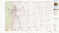 1981 Colorado Springs1981 Print · USGSColorado Springs and the Front Range were well established by the early eighties, showcasing a mix of military installations and mountain settlements. Genealogists and historians can trace the growth of Security and Widefield or locate remote points like Holtwold Store and Ellicott.2 unique versions available
 - 1989 Map of Pueblo
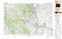 1989 Pueblo1989 Print · USGSIn the late eighties, the Colorado Front Range balanced its deep mining history with massive military expansion and water development. Researchers can trace the rail lines of the AT & SF RR or locate remote high-altitude settlements like Rosita and Querida.
 - 2010 Map of Ellicott, 2010 Print
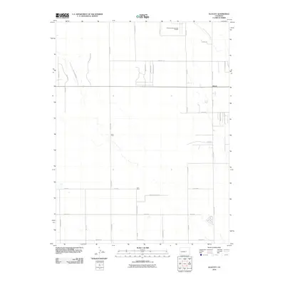 2010 Ellicott2010 Print · USGSEllicott and the surrounding Colorado high plains are captured here in the early twenty-first century, showcasing a transition from ranching to rural residential growth. Researchers can locate established landmarks like the Alger Ranch and Book Ranch or trace the drainage of Black Squirrel Creek.
 - 2013 Map of Ellicott, 2013 Print
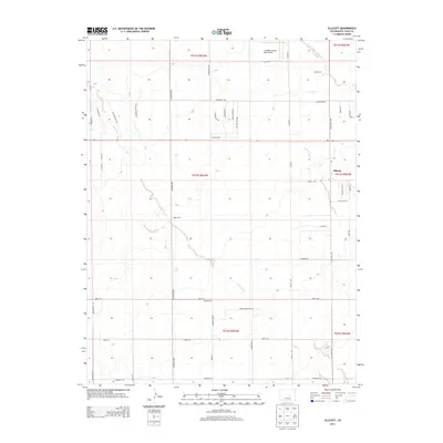 2013 Ellicott2013 Print · USGSEllicott and its surrounding high plains are captured here in the early twenty-first century as ranching traditions meet new rural growth. Researchers can trace land use through local landmarks like Alger Ranch, the Colorado Springs East Airport, and the drainage of Black Squirrel Cr.
 - 2016 Map of Ellicott, 2016 Print
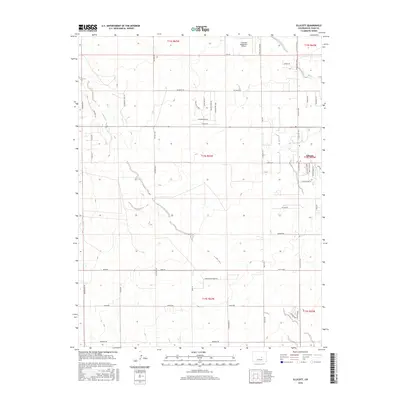 2016 Ellicott2016 Print · USGSEllicott and the surrounding high plains of El Paso County appear here in the mid-2010s as a growing rural community. Local historians can trace the development of township sections near Colorado Spring East Airport and along historic routes like Peyton Hwy and Black Squirrel Cr.
 - 2019 Map of Ellicott, 2019 Print
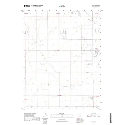 2019 Ellicott2019 Print · USGSEllicott and the surrounding high plains of El Paso County are captured here in a period of rural residential growth and aviation activity. Researchers can trace land divisions along Ellicott Hwy and identify landmarks like the Colorado Springs East Airport.
 - 2022 Map of Ellicott, 2022 Print
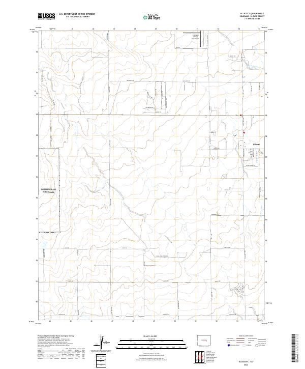 2022 Ellicott2022 Print · USGSEl Paso County’s high plains are captured here in the 2020s, showing the intersection of traditional ranching lands and modern aviation. Trace the growth around Ellicott and locate rural landmarks like Colorado Springs East Airport and Black Squirrel Cr.
End of results
Showing maps 1-14 of 14
Top cities near Ellicott
Frequently asked questions
- What are the different types of historical maps available for Ellicott?
- What is the oldest map of Ellicott?
- Where can I purchase historical maps of Ellicott for my home or office?
- Where can I download high-res historical maps of Ellicott?
- Are there historical topographic maps available for Ellicott?
- Is there historical aerial imagery available for Ellicott?
- Where are historical maps of Ellicott sourced from?