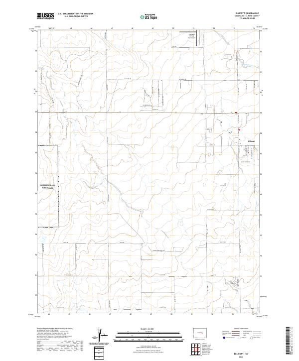
2022 Map of Ellicott
USGS Topo · Published 2022About this map
The high plains of eastern El Paso County are defined here by the small community of Ellicott and the specialized aviation infrastructure that dots the landscape. This modern survey illustrates the transition of rural ranching lands into a network of residential roads and utility corridors. The Colorado Springs East Airport and the distinctively named Flying View Runway highlight the region's relationship with private aviation, while the drainage of Black Squirrel Cr provides the primary topographic relief across the prairie. The map reveals a grid of long-established thoroughfares such as Peyton Hwy and Ellicott Hwy, which serve as the primary arteries for this growing area. Newer developments are visible through a cluster of residential streets like Bronze Eagle Ln and Copper Eagle Ln, reflecting the modern expansion of the greater Colorado Springs vicinity.
Find a feature on this map
56 named features on this map. Tap any name to fly to it.
Don’t see what you’re looking for? This feature index may not catch every label — zoom into the map to look around manually.
Map Details
Editions of this 2022 Ellicott Map
This is the sole edition of this map. No revisions or reprints were ever made.
Other maps of this area

1893 · Big Springs
USGS Topo · 1:125,000

1893 · Colorado Springs
USGS Topo · 1:125,000

1909 · Colorado Springs
USGS Topo · 1:125,000

1942 · Colorado Springs
USGS Topo · 1:125,000

1948 · Falcon
USGS Topo · 1:24,000

1948 · Falcon
USGS Topo · 1:62,500

1949 · Corral Bluffs
USGS Topo · 1:24,000
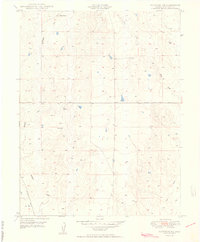
1950 · Fountain NE
USGS Topo · 1:24,000
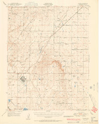
1951 · Falcon
USGS Topo · 1:62,500
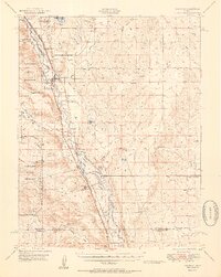
1951 · Fountain
USGS Topo · 1:62,500