
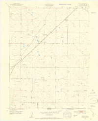
1948 Map of Falcon
USGS Topo · Published 1952About this map
The high plains of El Paso County are defined here by a network of family-operated livestock operations and the critical path of the Chicago Rock Island and Pacific and Southern Colorado Railroad. The small settlement of Falcon serves as a central hub, situated where the tracks intersect with the regional road system. The landscape is dotted with numerous established ranch sites, including the Old Orr Ranch, Blaney Ranch, and Pring Ranch, reflecting a post-war era when these homesteads were the primary anchors of the local economy.
Find a feature on this map
28 named features on this map. Tap any name to fly to it.
Don’t see what you’re looking for? This feature index may not catch every label — zoom into the map to look around manually.
Map Details
Editions of this 1948 Falcon Map
2 editions found
Other maps of this area

1893 · Big Springs
USGS Topo · 1:125,000

1893 · Colorado Springs
USGS Topo · 1:125,000

1894 · Castle Rock
USGS Topo · 1:125,000

1909 · Colorado Springs
USGS Topo · 1:125,000

1913 · Castle Rock
USGS Topo · 1:125,000

1940 · Elbert
USGS Topo · 1:62,500

1942 · Colorado Springs
USGS Topo · 1:125,000

1944 · Elbert
USGS Topo · 1:62,500

1948 · Falcon
USGS Topo · 1:62,500
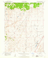
1948 · Falcon NW
USGS Topo · 1:24,000