Old Maps of Cedar Point, Colorado for Academic Research
Study the evolution of Cedar Point with 12 high-resolution historic maps. Whether you're teaching, researching, or modeling changes in land use, these maps provide essential visual documentation of urban, environmental, and geographic change.
- Analyze long-term change: Track patterns in development, transportation, and natural features.
- Ideal for environmental or urban studies: Support academic projects with primary historical map data.
- Use in the classroom or lab: Educators and researchers rely on these maps to bring historical context to life.
These maps are a powerful tool for teaching, research, and visualizing how Cedar Point has changed over the decades.
Cedar Point, CO maps
(12)- 1891 Map of Limon, 1963 Print
 1891 Limon1963 Print · USGSEastern Colorado's rail corridors are captured in the early 1890s as steam-age transit hubs began to reshape the plains. Trace early homesteads and rail junctions at Limon, River Bend, and the Silsby Ranch along the route of the Kansas Pacific Railroad.
 - 1892 Map of Limon
 1892 Limon1892 Print · USGSThe High Plains of eastern Colorado come into focus in the 1890s as a critical railway junction at the meeting of the Elbert and Lincoln county line. Trace early settlements like Agate, River Bend, and Resolis along the path of the Kansas Pacific Railroad.6 unique versions available
 - 1954 Map of Limon
 1954 Limon1954 Print · USGSThe Eastern Colorado plains and the Kansas borderlands come alive in the mid-fifties, showing the vital rail-and-road corridor through Limon. Genealogists and historians can trace the Chicago Rock Island & Pacific line through Burlington and find remote outposts like Arickaree and Anton.4 unique versions available
 - 1957 Map of Limon
 1957 Limon1957 Print · USGSThe High Plains of Eastern Colorado and Western Kansas come alive in the mid-1950s, showing the vital rail-and-road connections of the era. You can trace the path of the Chicago Rock Island and Pacific through towns like Limon, Stratton, and Burlington or find the early footprint of Bonny Reservoir.
 - 1958 Map of Limon
 1958 Limon1958 Print · USGSEastern Colorado and the Kansas border meet in this late-fifties study of High Plains rail and river systems. Researchers can trace the path of the Chicago Rock Island and Pacific through Limon and Burlington, or locate the Bonny Dam and Bonny Reservoir.
 - 1970 Map of River Bend, 1974 Print
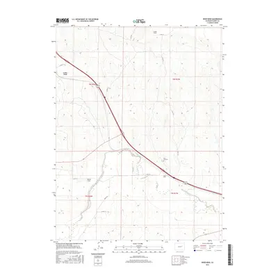
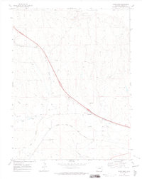 1970 River Bend1974 Print · USGSRailroad activity and prairie drainage define this Elbert County landscape in the early seventies. Genealogists and rail historians can trace the junction of the Union Pacific and Chicago Rock Island and Pacific near River Bend and its local River Bend Cem.
 - 1984 Map of Limon
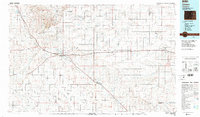 1984 Limon1984 Print · USGSEastern Colorado's High Plains are captured in the mid-1980s, centered on the vital transportation crossroads of Limon. Researchers can trace the path of the Union Pacific through small prairie settlements like Genoa, Bovina, and Agate.
 - 2010 Map of River Bend, 2010 Print
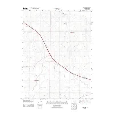
 2010 River Bend2010 Print · USGSCovers Cedar Point, including Elbert County, United States, and other nearby areas
 - 2013 Map of River Bend, 2013 Print
 2013 River Bend2013 Print · USGSCovers Cedar Point, including Elbert County, United States, and other nearby areas
 - 2016 Map of River Bend, 2016 Print
 2016 River Bend2016 Print · USGSCovers Cedar Point, including Elbert County, United States, and other nearby areas
 - 2019 Map of River Bend, 2019 Print
 2019 River Bend2019 Print · USGSCovers Cedar Point, including Elbert County, United States, and other nearby areas
 - 2022 Map of River Bend, 2022 Print
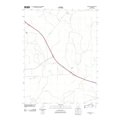
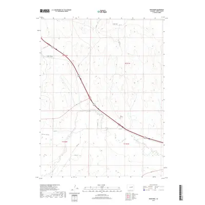
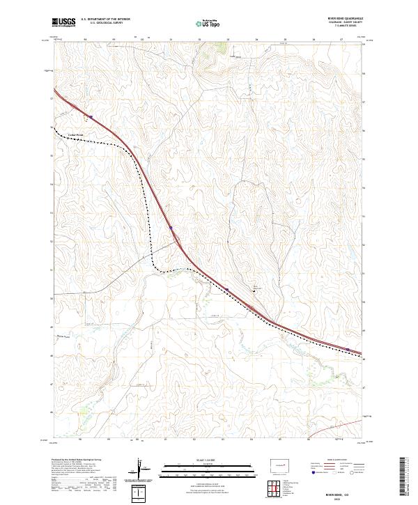 2022 River Bend2022 Print · USGSEastern Colorado ranching country in Elbert County comes into focus in this contemporary survey of the High Plains. Genealogists and local historians can locate the River Bend Cem and trace the paths of Big Sandy Creek and Beuck Cr.
End of results
Showing maps 1-12 of 12
Top cities near Cedar Point
Frequently asked questions
- What are the different types of historical maps available for Cedar Point?
- What is the oldest map of Cedar Point?
- Where can I purchase historical maps of Cedar Point for my home or office?
- Where can I download high-res historical maps of Cedar Point?
- Are there historical topographic maps available for Cedar Point?
- Is there historical aerial imagery available for Cedar Point?
- Where are historical maps of Cedar Point sourced from?