2020s Maps of Erie, Colorado
Explore 2 historic maps of Erie from the 2020s. These maps offer a rare glimpse into what life looked like during the 2020s — showing old roads, neighborhoods, homes, and landmarks that have changed or disappeared over time.
Whether you're researching your family's past, planning a metal detecting trip, or studying how Erie's landscape evolved across the 2020s, these high-resolution maps are a powerful tool for exploring the history of this region.
- Focus on a specific era: All maps on this page are from the 2020s, giving you a focused view of this time period.
- See what’s changed: Compare century-old streets, trails, and buildings to today's modern landscape using overlays and satellite layers.
- Research with precision: Use these maps for genealogy, historical research, land use analysis, or educational projects.
- View, download, or print: Maps are fully viewable online in high resolution, and can be downloaded or printed for your own records.
Start exploring Erie's history through authentic maps from the 2020s. This is your window into the past.
Erie, CO maps
(2)- 2022 Map of Frederick, 2022 Print
 2022 Frederick2022 Print · USGSThe northern Front Range comes into focus during this period of residential growth and agricultural change. Researchers can trace the legacy of the Tri-Towns and find landmarks like the Wings N Things Airpark & Museum, the Frederick Reservoir, and the historic Puritan area.
 - 2022 Map of Erie, 2022 Print
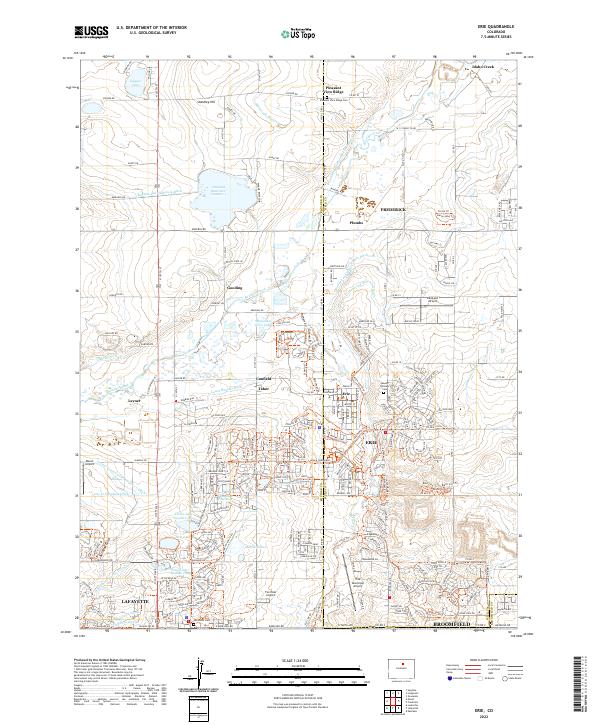 2022 Erie2022 Print · USGSErie and its neighboring towns of Frederick and Lafayette are shown here during the modern era of expansion. Researchers can trace irrigation networks like Lower Boulder Ditch and find local landmarks such as Lafayette Cem and Canfield.
End of results
Showing maps 1-2 of 2
Top cities near Erie
- Aurora historical maps
- Thornton historical maps
- Arvada historical maps
- Westminster historical maps
- Boulder historical maps
- Longmont historical maps
See more
Top neighborhoods of Erie
- Leyner historical maps
- Ninemile Corner historical maps
- Tabor historical maps
- Erie Air Park historical maps
- Baxter Farm historical maps
- Sunwest North historical maps
See more
Frequently asked questions
- What are the different types of historical maps available for Erie?
- What is the oldest map of Erie?
- Where can I purchase historical maps of Erie for my home or office?
- Where can I download high-res historical maps of Erie?
- Are there historical topographic maps available for Erie?
- Is there historical aerial imagery available for Erie?
- Where are historical maps of Erie sourced from?