Old Maps of Williamsburg, Colorado for Metal Detecting
Plan your next treasure hunt with 22 historic maps of Williamsburg. Find old homesites, ghost towns, trails, and gathering spots that may be lost to time — perfect for identifying promising metal detecting locations.
- Locate forgotten sites: Uncover places like long-lost settlements, abandoned rail lines, or gathering spots.
- Plan better hunts: Use map overlays combined with LiDAR or satellite views to narrow in on historically rich areas.
- Made for detectorists: Thousands of hobbyists use these maps to discover relics, coins, and hidden history.
Use these historic maps to boost your research and find new opportunities beneath the surface of Williamsburg.
Williamsburg, CO maps
(22)- 1889 Map of Canon City
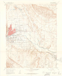
 1889 Canon City1889 Print · USGSFremont and Custer counties appear here during the peak of the Colorado silver boom, when mining and rail expansion transformed the valley. Genealogists can trace family roots in early settlements like Silver Cliff, Rosita, and the coal camps of Rockvale.2 unique versions available
 - 1892 Map of Canon City
 1892 Canon City1892 Print · USGSThe mining camps of Custer and Fremont counties were in their prime during the 1890s silver and coal boom. Genealogists and historians can trace the early rail networks and locate hard-rock operations like the Bassick Mine or settlements such as Silver Cliff and Querida.8 unique versions available
 - 1954 Map of Pueblo, 1966 Print
 1954 Pueblo1966 Print · USGSMid-century Colorado comes alive in this survey of the Front Range and the high plains as the region expanded after the war. Genealogists and historians can trace family roots through rural landmarks like Hanover Church, Pioneer Cemetery, and the Grandview School.3 unique versions available
 - 1957 Map of Pueblo
 1957 Pueblo1957 Print · USGSMid-century Colorado comes alive as the Front Range urban centers expand alongside massive Cold War military installations. Genealogists and historians can trace the foundations of Stone City, rural sites like Hanover School, and the industrial Canon Imperial Mine.
 - 1958 Map of Pueblo
 1958 Pueblo1958 Print · USGSColorado's Front Range and Arkansas River Valley come alive in the late fifties, showing the transition from historic mining districts to major military and rail hubs. Genealogists and historians can trace family roots in ranching communities and find landmarks like Cripple Creek, Manitou, and the Hanover School.
 - 1959 Map of Canon City, 1961 Print
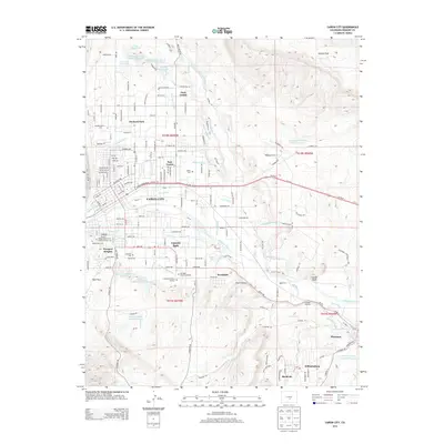
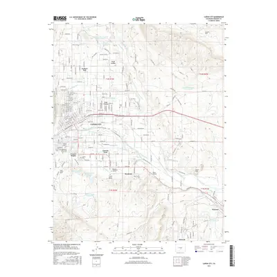
 1959 Canon City1961 Print · USGSThe Arkansas River valley in the late fifties was a busy intersection of irrigation, industry, and institutional land. Researchers can trace family history through sites like Lakeside Cemetery or locate landmarks like the State Prison Farm and Abbey.5 unique versions available
 - 1959 Map of Rockvale, 1961 Print
 1959 Rockvale1961 Print · USGSThe northern Fremont County mining district is seen here in the late fifties, showcasing the intricate network of coal workings and camps. Genealogists and industrial historians can trace specific operations like the Black Diamond Mine and Radiant Camp (Site).3 unique versions available
 - 1962 Map of Pueblo
 1962 Pueblo1962 Print · USGSThe Front Range and high plains meet in the early sixties as military installations and industrial mining shape the corridor from Colorado Springs to Pueblo. Genealogists can trace family names through rural landmarks like the Columbine School, Hanover Church, and Fairview Cem.
 - 1966 Map of Pueblo
 1966 Pueblo1966 Print · USGSThe Front Range and Arkansas River Valley are captured here in the mid-1960s, showing a landscape shaped by mining, military expansion, and rail. Researchers can locate numerous country schools and mines, such as the Lytle School, Pioneer Cem, and Empire Zinc Mine.
 - 1982 Map of Canon City, 1983 Print
 1982 Canon City1983 Print · USGSCentral Colorado in the early eighties shows a landscape shaped by high peaks and river-valley industry. Genealogists can locate family sites near Silver Cliff, Union Highland Cem, or the State Prison Farm.
 - 1989 Map of Pueblo
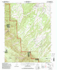
 1989 Pueblo1989 Print · USGSIn the late eighties, the Colorado Front Range balanced its deep mining history with massive military expansion and water development. Researchers can trace the rail lines of the AT & SF RR or locate remote high-altitude settlements like Rosita and Querida.
 - 1994 Map of Rockvale, 1998 Print
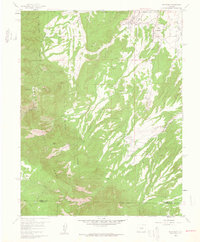
 1994 Rockvale1998 Print · USGSFremont County's mining heart is on full display in the 1990s, where the rugged terrain meets the established communities of Rockvale and Coalcreek. Researchers can trace old operations like the Cedar Canon Mine, Caldrola No 1 Mine, and the historic Radiant Camp site.
 - 2010 Map of Canon City, 2010 Print
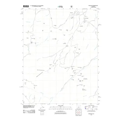
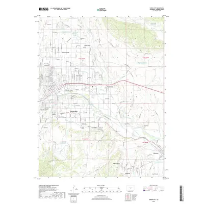
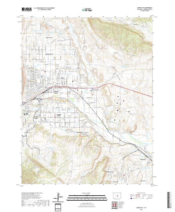
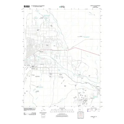 2010 Canon City2010 Print · USGSCovers Williamsburg, including Cañon City, Lincoln Park, and other nearby areas
 - 2011 Map of Rockvale, 2011 Print
 2011 Rockvale2011 Print · USGSCovers Williamsburg, including Rockvale, Coal Creek, and other nearby areas
 - 2013 Map of Canon City, 2013 Print
 2013 Canon City2013 Print · USGSCovers Williamsburg, including Cañon City, Lincoln Park, and other nearby areas
 - 2013 Map of Rockvale, 2013 Print
 2013 Rockvale2013 Print · USGSCovers Williamsburg, including Rockvale, Coal Creek, and other nearby areas
 - 2016 Map of Canon City, 2016 Print
 2016 Canon City2016 Print · USGSCovers Williamsburg, including Cañon City, Lincoln Park, and other nearby areas
 - 2016 Map of Rockvale, 2016 Print
 2016 Rockvale2016 Print · USGSCovers Williamsburg, including Rockvale, Coal Creek, and other nearby areas
 - 2019 Map of Rockvale, 2019 Print
 2019 Rockvale2019 Print · USGSCovers Williamsburg, including Rockvale, Coal Creek, and other nearby areas
 - 2019 Map of Canon City, 2019 Print
 2019 Canon City2019 Print · USGSCovers Williamsburg, including Cañon City, Lincoln Park, and other nearby areas
 - 2022 Map of Canon City, 2022 Print
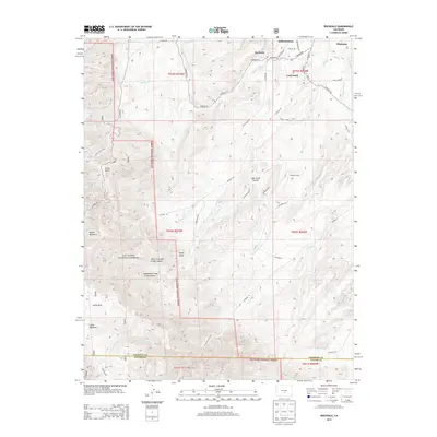
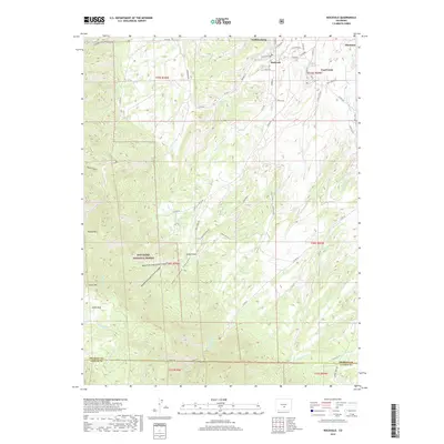
 2022 Canon City2022 Print · USGSThe Arkansas River valley near Cañon City appears in recent detail as a landscape of irrigation canals and historic mining towns. Researchers can trace local lineage through the Independent Order of Odd Fellows Cem or explore the water network of the Minnequa Canal and De Weese Dye Ditch.
 - 2022 Map of Rockvale, 2022 Print
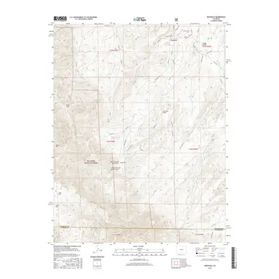
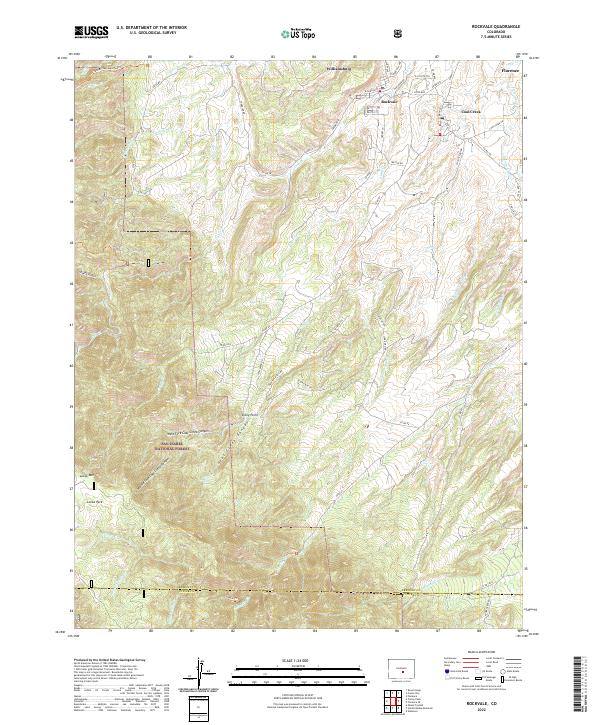 2022 Rockvale2022 Print · USGSThe mining towns of the Arkansas River valley are shown here as they transitioned into the modern era. Genealogists and researchers can trace the roads and drainages connecting Williamsburg, Rockvale, and Coal Creek to the landmarks of Locke Park.
End of results
Showing maps 1-22 of 22
Top cities near Williamsburg
- Cañon City historical maps
- Lincoln Park historical maps
- Florence historical maps
- Penrose historical maps
- Rockvale historical maps
- Coal Creek historical maps
See more
Frequently asked questions
- What are the different types of historical maps available for Williamsburg?
- What is the oldest map of Williamsburg?
- Where can I purchase historical maps of Williamsburg for my home or office?
- Where can I download high-res historical maps of Williamsburg?
- Are there historical topographic maps available for Williamsburg?
- Is there historical aerial imagery available for Williamsburg?
- Where are historical maps of Williamsburg sourced from?