Old Maps of Crested Butte, Colorado for Metal Detecting
Plan your next treasure hunt with 15 historic maps of Crested Butte. Find old homesites, ghost towns, trails, and gathering spots that may be lost to time — perfect for identifying promising metal detecting locations.
- Locate forgotten sites: Uncover places like long-lost settlements, abandoned rail lines, or gathering spots.
- Plan better hunts: Use map overlays combined with LiDAR or satellite views to narrow in on historically rich areas.
- Made for detectorists: Thousands of hobbyists use these maps to discover relics, coins, and hidden history.
Use these historic maps to boost your research and find new opportunities beneath the surface of Crested Butte.
Crested Butte, CO maps
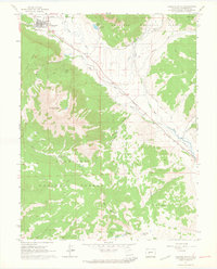
(15)- 1888 Map of Crested Butte
 1888 Crested Butte1888 Print · USGSCrested Butte was a burgeoning rail and coal hub in the late nineteenth century, surrounded by the high peaks of the Gunnison country. You can trace the Denver and Rio Grande Railroad line through the valley or locate the mining camp of Gothic and the namesake Crested Butte peak.2 unique versions available
 - 1889 Map of Crested Butte
 1889 Crested Butte1889 Print · USGSIn the late nineteenth-century Elk Mountains, the arrival of the Denver and Rio Grande Railroad transformed isolated mountain camps into vital industrial hubs. Researchers can trace the early streets of Crested Butte and Gothic or locate remote landmarks like the Hot Spring and Washington Gulch.
 - 1893 Map of Crested Butte
 1893 Crested Butte1893 Print · USGSThe high Elk Mountains of the 1890s are mapped here as silver and coal drove the region's development. Trace the early tracks of the Denver and Rio Grande Railroad into Crested Butte or locate the camp at Gothic near the Saw Tooth Range.6 unique versions available
 - 1956 Map of Montrose, 1963 Print
 1956 Montrose1963 Print · USGSThe Colorado western slope in the late fifties and early sixties shows a landscape defined by the Denver & Rio Grande Western RR and the Gunnison River. Trace the development of Blue Mesa Reservoir or locate high-country sites like the Bachelor Mine.3 unique versions available
 - 1959 Map of Montrose
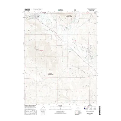
 1959 Montrose1959 Print · USGSWestern Colorado in the late fifties is defined by the high peaks and river valleys of the Southern Rockies. Genealogists and historians can trace the paths of the Denver & Rio Grande Western RR or locate mountain settlements like Crawford, Lazear, and Doyleville.
 - 1960 Map of Montrose
 1960 Montrose1960 Print · USGSThe Colorado high country in the mid-fifties is captured here during a period of steady ranching and persistent mining. Researchers can trace the path of the Denver & Rio Grande Western RR or locate small settlements like Somerset, Maher, and Sargent.2 unique versions available
 - 1961 Map of Crested Butte, 1964 Print
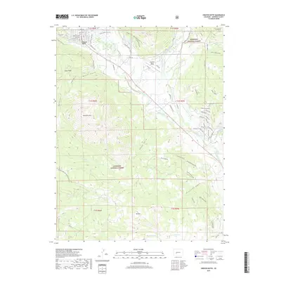
 1961 Crested Butte1964 Print · USGSCrested Butte and the surrounding high country are captured here in the early sixties, as mining roots met a growing ranching and recreational landscape. Researchers can trace the Old Railroad Grade, locate the Bulkley Mine (Site), and identify family holdings like Cold Spring Ranch.4 unique versions available
 - 1968 Map of Montrose
 1968 Montrose1968 Print · USGSThe Western Slope and Continental Divide meet in the late sixties, showing the vital river valleys and high-mountain mining districts. Trace the historic route of the Denver and Rio Grande Western RR or locate small settlements like Sargents and Powderhorn.
 - 1984 Map of Gunnison
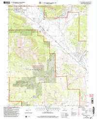
 1984 Gunnison1984 Print · USGSHigh mountain passes and historic mining districts define this mid-eighties record of the central Colorado Rockies. Genealogists and historians can trace the foundations of Gunnison and Crested Butte or locate remote sites like St Elmo, Tincup, and Hancock.2 unique versions available
 - 2001 Map of Crested Butte, 2004 Print
 2001 Crested Butte2004 Print · USGSCrested Butte and the surrounding high country are shown at the turn of the millennium as the local economy shifted from extraction to recreation. Researchers can trace the heritage of the upper Slate River valley through the Bulkley Mine (Site), the early Crested Butte Airport, and ranching infrastructure like the Dillsworth Ditch.
 - 2011 Map of Crested Butte, 2011 Print
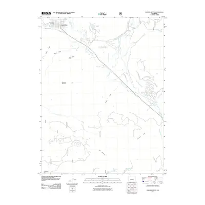 2011 Crested Butte2011 Print · USGSCovers Crested Butte, including Crested Butte South, Gunnison County, and other nearby areas
 - 2013 Map of Crested Butte, 2013 Print
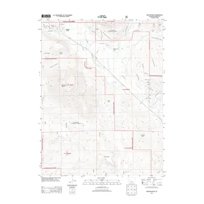 2013 Crested Butte2013 Print · USGSCovers Crested Butte, including Crested Butte South, Gunnison County, and other nearby areas
 - 2016 Map of Crested Butte, 2016 Print
 2016 Crested Butte2016 Print · USGSCovers Crested Butte, including Crested Butte South, Gunnison County, and other nearby areas
 - 2019 Map of Crested Butte, 2019 Print
 2019 Crested Butte2019 Print · USGSCovers Crested Butte, including Crested Butte South, Gunnison County, and other nearby areas
 - 2023 Map of Crested Butte, 2023 Print
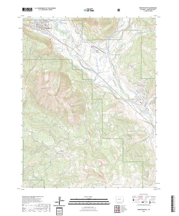 2023 Crested Butte2023 Print · USGSCrested Butte and the surrounding high-country valleys are documented here in the early twenty-first century as the area balances its ranching roots with modern growth. Researchers can trace historic water rights via the Verzuh Ditch or locate landmarks like Lake Grant and the Buckhorn Ranch Airport.
End of results
Showing maps 1-15 of 15
Top cities near Crested Butte
Frequently asked questions
- What are the different types of historical maps available for Crested Butte?
- What is the oldest map of Crested Butte?
- Where can I purchase historical maps of Crested Butte for my home or office?
- Where can I download high-res historical maps of Crested Butte?
- Are there historical topographic maps available for Crested Butte?
- Is there historical aerial imagery available for Crested Butte?
- Where are historical maps of Crested Butte sourced from?