Old Maps of Red Wing, Colorado for Metal Detecting
Plan your next treasure hunt with 15 historic maps of Red Wing. Find old homesites, ghost towns, trails, and gathering spots that may be lost to time — perfect for identifying promising metal detecting locations.
- Locate forgotten sites: Uncover places like long-lost settlements, abandoned rail lines, or gathering spots.
- Plan better hunts: Use map overlays combined with LiDAR or satellite views to narrow in on historically rich areas.
- Made for detectorists: Thousands of hobbyists use these maps to discover relics, coins, and hidden history.
Use these historic maps to boost your research and find new opportunities beneath the surface of Red Wing.
Red Wing, CO maps
(15)- 1889 Map of Huerfano Park, 1961 Print
 1889 Huerfano Park1961 Print · USGSHuerfano County and the high peaks of the Sangre de Cristos are captured here in the late nineteenth century. Trace the early tracks of the Denver and Rio Grande Railroad and locate vanished outposts like Sharpsdale and Malachite.
 - 1892 Map of Huerfano Park
 1892 Huerfano Park1892 Print · USGSSouthern Colorado mountain life is captured here in the late nineteenth century, showing the early settlements and rail lines of the Huerfano region. Researchers can trace the path of the Denver and Rio Grande Railroad and locate vanished stops at Malachite, Sharpsdale, and Placer.5 unique versions available
 - 1954 Map of Trinidad, 1963 Print
 1954 Trinidad1963 Print · USGSSouthern Colorado is captured here during the mid-fifties, showing the vital rail-and-river connections between the San Luis Valley and the eastern foothills. Researchers can trace the Denver and Rio Grande Western line and locate rural landmarks like Malachite School and San Luis.2 unique versions available
 - 1955 Map of Trinidad, 1976 Print
 1955 Trinidad1976 Print · USGSSouthern Colorado during the mid-fifties is defined by the high-altitude agriculture of the San Luis Valley and the peaks of the Culebra Range. Genealogists can trace early settlements and rural schoolhouses like Medina Plaza, San Luis, and the Trujillo Creek School.
 - 1958 Map of Trinidad
 1958 Trinidad1958 Print · USGSSouthern Colorado in the late fifties was a landscape of high-altitude agriculture and coal production, centered on the San Luis Valley. Local historians can trace old community centers like the Malachite School or follow the mining and rail activity near Walsenburg and the Allen Mine.
 - 1959 Map of Trinidad
 1959 Trinidad1959 Print · USGSThe San Luis Valley and the high Sangre de Cristo peaks are documented here in the late fifties, during a period of steady ranching and rail activity. Genealogy researchers can locate family-named landmarks and rural institutions like Trujillo Creek School and the historic San Luis settlement.
 - 1967 Map of Red Wing, 1972 Print
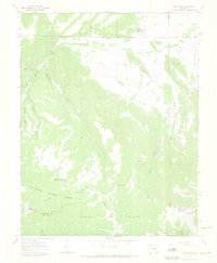 1967 Red Wing1972 Print · USGSHuerfano County during the mid-sixties reveals a network of small valley settlements and high-country water systems. Genealogists and historians can locate family burial grounds at Gonzales Cem and trace the paths of Martin Creek and Montez Ditch.3 unique versions available
 - 1982 Map of Blanca Peak, 1983 Print
 1982 Blanca Peak1983 Print · USGSThe Sangre de Cristo range reaches its highest elevations in the early 1980s, towering over the shifting landscapes of the San Luis Valley. Researchers can trace the path of the Denver and Rio Grande Western railroad or locate remote settlements like Crestone, Sharpsdale, and Gardner.2 unique versions available
 - 1988 Map of Trinidad
 1988 Trinidad1988 Print · USGSSouthern Colorado in the late eighties reveals a landscape of high-altitude farming and mountain rail corridors. Genealogists and historians can trace the foundations of San Luis and Fort Garland or find old stops on the D & R G W RR and A T & S F Ry.
 - 2001 Map of Red Wing, 2005 Print
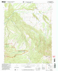 2001 Red Wing2005 Print · USGSHuerfano County ranching and river life are preserved here at the opening of the millennium, where the valley floor meets the high peaks. Genealogists can locate family landmarks such as Chama Cem and the Gonzales Cem near the banks of the Huerfano River.
 - 2011 Map of Red Wing, 2011 Print
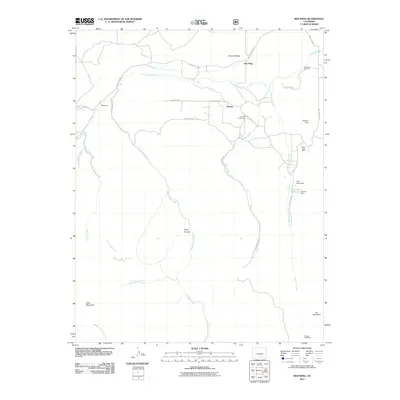 2011 Red Wing2011 Print · USGSHuerfano County ranching and mining operations are captured here during the early twenty-first century. Genealogists and historians can locate family landmarks like Gonzales Cemetery, the Santa Rosa Mine, and the small community of Chama along the Huerfano River.
 - 2013 Map of Red Wing, 2013 Print
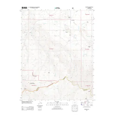 2013 Red Wing2013 Print · USGSHuerfano County's high-country ranching and forest lands are captured here in the early twenty-first century. Researchers can trace family history at Chama Cem or follow the irrigation systems of the Huerfano River valley near Red Wing and Sharpsdale.
 - 2016 Map of Red Wing, 2016 Print
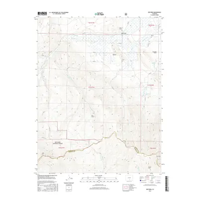 2016 Red Wing2016 Print · USGSHuerfano County ranching and mountain terrain are captured here in the mid-2010s, centered on the historic mountain valley settlements. Genealogists and researchers can trace local family landmarks like Gonzales Cem, Chama Cem, and the waters of the Huerfano River.
 - 2019 Map of Red Wing, 2019 Print
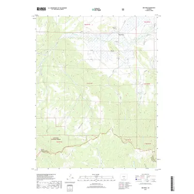 2019 Red Wing2019 Print · USGSHuerfano County ranching and river-valley life are documented here as they appeared in the early twenty-first century. Researchers can trace family history through several local burial grounds including Chama Cem and Gonzales Cem near the Huerfano River.
 - 2022 Map of Red Wing, 2022 Print
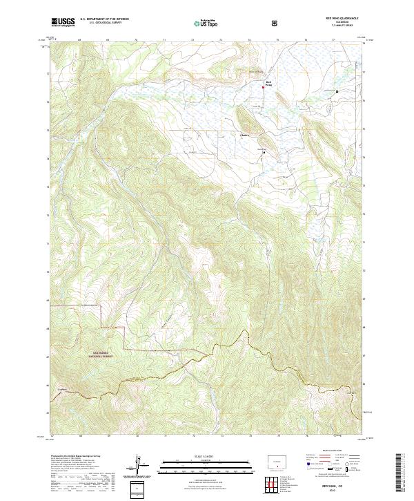 2022 Red Wing2022 Print · USGSIn the Huerfano River valley during the early twenty-first century, this region shows the enduring footprint of high-altitude ranching and settlement. Researchers can trace family names at Gonzales Cem or explore the terrain near Deep Canyon and the village of Chama.
End of results
Showing maps 1-15 of 15
Frequently asked questions
- What are the different types of historical maps available for Red Wing?
- What is the oldest map of Red Wing?
- Where can I purchase historical maps of Red Wing for my home or office?
- Where can I download high-res historical maps of Red Wing?
- Are there historical topographic maps available for Red Wing?
- Is there historical aerial imagery available for Red Wing?
- Where are historical maps of Red Wing sourced from?