2000s (21st Century) Maps of El Rancho, Colorado
Explore 5 historic maps of El Rancho from the 2000s (21st Century). These maps offer a rare glimpse into what life looked like during the 2000s — showing old roads, neighborhoods, homes, and landmarks that have changed or disappeared over time.
Whether you're researching your family's past, planning a metal detecting trip, or studying how El Rancho's landscape evolved across the 2000s, these high-resolution maps are a powerful tool for exploring the history of this region.
- Focus on a specific era: All maps on this page are from the 2000s, giving you a focused view of this time period.
- See what’s changed: Compare century-old streets, trails, and buildings to today's modern landscape using overlays and satellite layers.
- Research with precision: Use these maps for genealogy, historical research, land use analysis, or educational projects.
- View, download, or print: Maps are fully viewable online in high resolution, and can be downloaded or printed for your own records.
Start exploring El Rancho's history through authentic maps from the 2000s. This is your window into the past.
El Rancho, CO maps
(5)- 2011 Map of Evergreen, 2011 Print
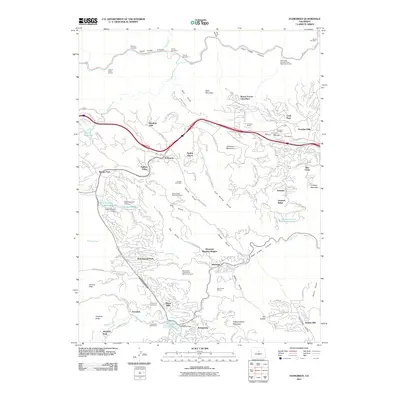 2011 Evergreen2011 Print · USGSCovers El Rancho, including Evergreen, Mount Vernon Club Place, and other nearby areas
 - 2013 Map of Evergreen, 2013 Print
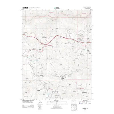 2013 Evergreen2013 Print · USGSCovers El Rancho, including Evergreen, Mount Vernon Club Place, and other nearby areas
 - 2016 Map of Evergreen, 2016 Print
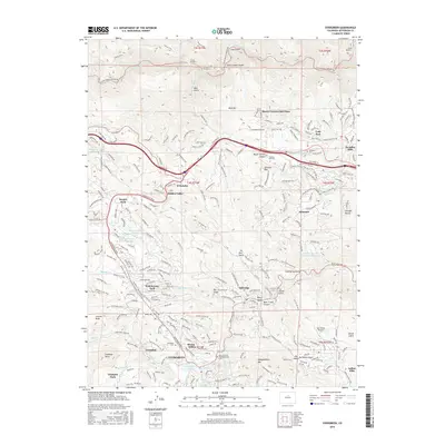 2016 Evergreen2016 Print · USGSCovers El Rancho, including Evergreen, Mount Vernon Club Place, and other nearby areas
 - 2019 Map of Evergreen, 2019 Print
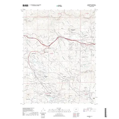 2019 Evergreen2019 Print · USGSCovers El Rancho, including Evergreen, Mount Vernon Club Place, and other nearby areas
 - 2022 Map of Evergreen, 2022 Print
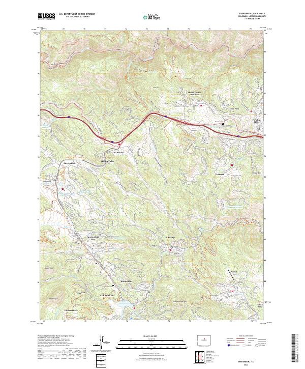 2022 Evergreen2022 Print · USGSJefferson County’s mountain communities are captured in the early 2020s, showing the modern interface of residential growth and high-country terrain. Researchers can locate family sites near Evergreen Cemetery or trace recreational corridors like the Chief Hosa Loop Trail and Peaks To Plains Trail.
End of results
Showing maps 1-5 of 5
Top cities near El Rancho
- Lakewood historical maps
- Arvada historical maps
- Westminster historical maps
- Littleton historical maps
- Wheat Ridge historical maps
- Golden historical maps
See more
Frequently asked questions
- What are the different types of historical maps available for El Rancho?
- What is the oldest map of El Rancho?
- Where can I purchase historical maps of El Rancho for my home or office?
- Where can I download high-res historical maps of El Rancho?
- Are there historical topographic maps available for El Rancho?
- Is there historical aerial imagery available for El Rancho?
- Where are historical maps of El Rancho sourced from?