2000s (21st Century) Maps of Lakewood, Colorado
Explore 25 historic maps of Lakewood from the 2000s (21st Century). These maps offer a rare glimpse into what life looked like during the 2000s — showing old roads, neighborhoods, homes, and landmarks that have changed or disappeared over time.
Whether you're researching your family's past, planning a metal detecting trip, or studying how Lakewood's landscape evolved across the 2000s, these high-resolution maps are a powerful tool for exploring the history of this region.
- Focus on a specific era: All maps on this page are from the 2000s, giving you a focused view of this time period.
- See what’s changed: Compare century-old streets, trails, and buildings to today's modern landscape using overlays and satellite layers.
- Research with precision: Use these maps for genealogy, historical research, land use analysis, or educational projects.
- View, download, or print: Maps are fully viewable online in high resolution, and can be downloaded or printed for your own records.
Start exploring Lakewood's history through authentic maps from the 2000s. This is your window into the past.
Lakewood, CO maps
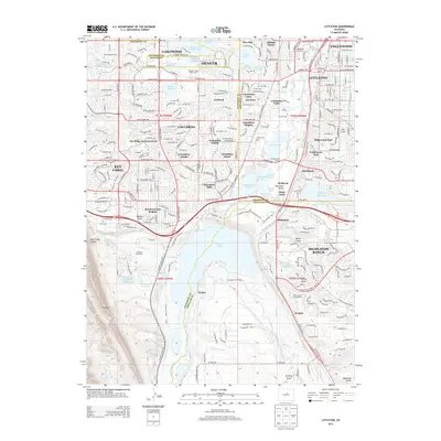
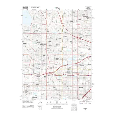
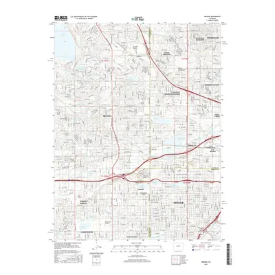
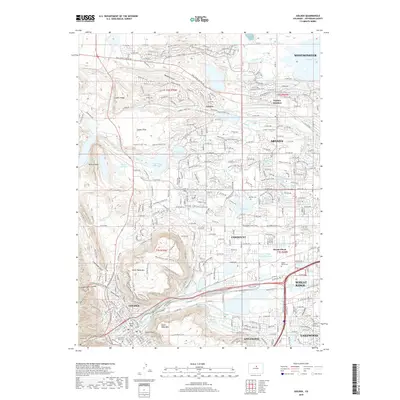
(25)- 2010 Map of Golden, 2010 Print
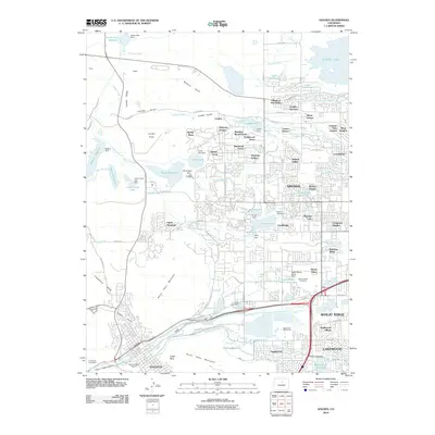 2010 Golden2010 Print · USGSCovers Lakewood, including Arvada, Westminster, and other nearby areas
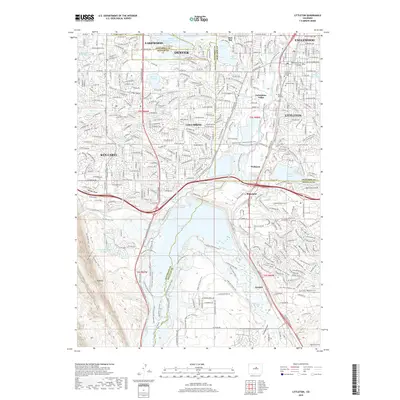
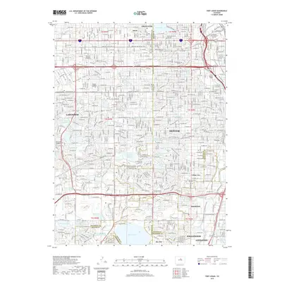
 - 2011 Map of Littleton, 2011 Print
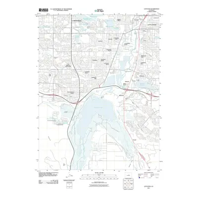 2011 Littleton2011 Print · USGSCovers Lakewood, including Littleton, Englewood, and other nearby areas
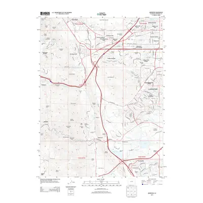
 - 2011 Map of Arvada, 2011 Print
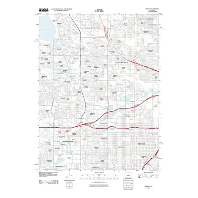 2011 Arvada2011 Print · USGSCovers Lakewood, including Thornton, Arvada, and other nearby areas
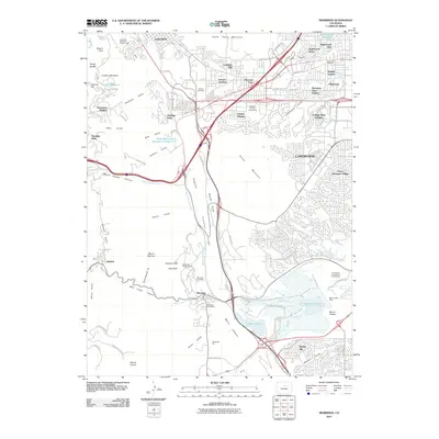
 - 2011 Map of Fort Logan, 2011 Print
 2011 Fort Logan2011 Print · USGSCovers Lakewood, including Littleton, Englewood, and other nearby areas
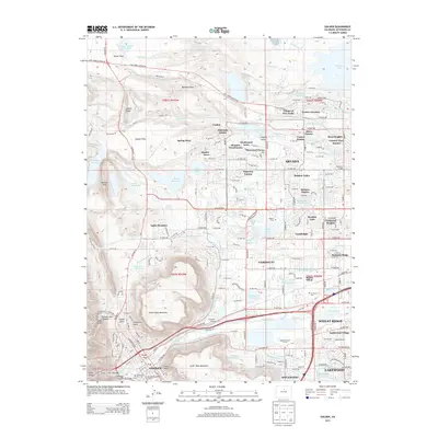
 - 2011 Map of Morrison, 2011 Print
 2011 Morrison2011 Print · USGSCovers Lakewood, including Golden, West Pleasant View, and other nearby areas
 - 2013 Map of Littleton, 2013 Print
 2013 Littleton2013 Print · USGSCovers Lakewood, including Littleton, Englewood, and other nearby areas
 - 2013 Map of Arvada, 2013 Print
 2013 Arvada2013 Print · USGSCovers Lakewood, including Thornton, Arvada, and other nearby areas
 - 2013 Map of Morrison, 2013 Print
 2013 Morrison2013 Print · USGSCovers Lakewood, including Golden, West Pleasant View, and other nearby areas
 - 2013 Map of Golden, 2013 Print
 2013 Golden2013 Print · USGSCovers Lakewood, including Arvada, Westminster, and other nearby areas
 - 2013 Map of Fort Logan, 2013 Print
 2013 Fort Logan2013 Print · USGSCovers Lakewood, including Littleton, Englewood, and other nearby areas
 - 2016 Map of Morrison, 2016 Print
 2016 Morrison2016 Print · USGSCovers Lakewood, including Golden, West Pleasant View, and other nearby areas
 - 2016 Map of Fort Logan, 2016 Print
 2016 Fort Logan2016 Print · USGSCovers Lakewood, including Littleton, Englewood, and other nearby areas
 - 2016 Map of Littleton, 2016 Print
 2016 Littleton2016 Print · USGSCovers Lakewood, including Littleton, Englewood, and other nearby areas
 - 2016 Map of Golden, 2016 Print
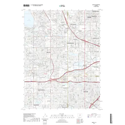
 2016 Golden2016 Print · USGSCovers Lakewood, including Arvada, Westminster, and other nearby areas
 - 2016 Map of Arvada, 2016 Print
 2016 Arvada2016 Print · USGSCovers Lakewood, including Thornton, Arvada, and other nearby areas
 - 2019 Map of Arvada, 2019 Print
 2019 Arvada2019 Print · USGSCovers Lakewood, including Thornton, Arvada, and other nearby areas
 - 2019 Map of Morrison, 2019 Print
 2019 Morrison2019 Print · USGSCovers Lakewood, including Golden, West Pleasant View, and other nearby areas
 - 2019 Map of Littleton, 2019 Print
 2019 Littleton2019 Print · USGSCovers Lakewood, including Littleton, Englewood, and other nearby areas
 - 2019 Map of Golden, 2019 Print
 2019 Golden2019 Print · USGSCovers Lakewood, including Arvada, Westminster, and other nearby areas
 - 2019 Map of Fort Logan, 2019 Print
 2019 Fort Logan2019 Print · USGSCovers Lakewood, including Littleton, Englewood, and other nearby areas
 - 2022 Map of Littleton, 2022 Print
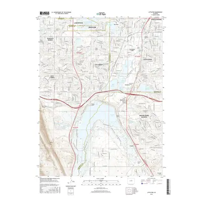
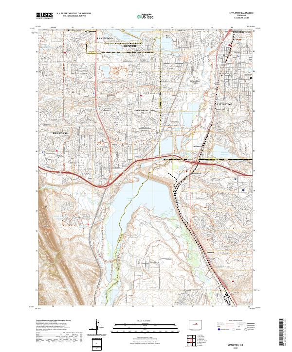 2022 Littleton2022 Print · USGSThe South Platte River valley and the southern Denver suburbs are shown in high detail during a period of significant suburban density. Genealogists and local historians can locate the Littleton Cem, the Arapahoe County Courthouse, and the historic Highline Canal.
 - 2022 Map of Fort Logan, 2022 Print
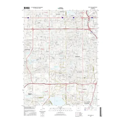
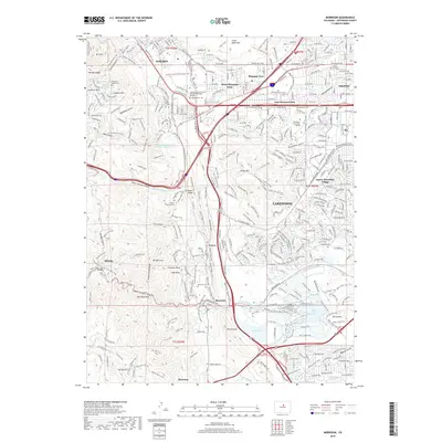
 2022 Fort Logan2022 Print · USGSThe Denver metro area and its southern suburbs are shown here in the early twenty-first century, featuring a landscape defined by historic water ditches and national landmarks. Researchers can trace the layout of Fort Logan National Cem and locate institutions like Colorado Christian University.
 - 2022 Map of Morrison, 2022 Print
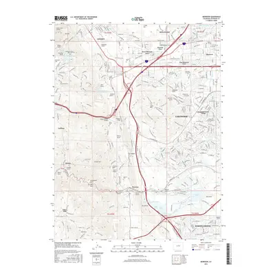
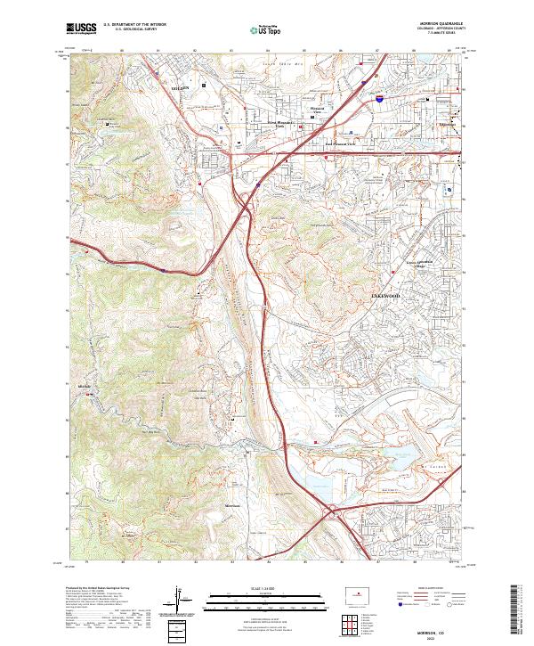 2022 Morrison2022 Print · USGSThe foothills of the Front Range meet the western edge of the Denver metro area in this contemporary survey of the Jefferson County landscape. Genealogists and local historians can locate the William F Cody Grave, Golden Cem, and the old town site of Morrison.
 - 2022 Map of Golden, 2022 Print
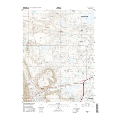
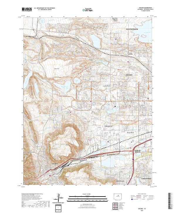 2022 Golden2022 Print · USGSThe Front Range communities of Golden and Arvada are captured here in the early twenty-first century. Genealogists and researchers can trace local burials at Mount Olivet Cem or locate the historic Colorado School of Mines.
 - 2022 Map of Arvada, 2022 Print
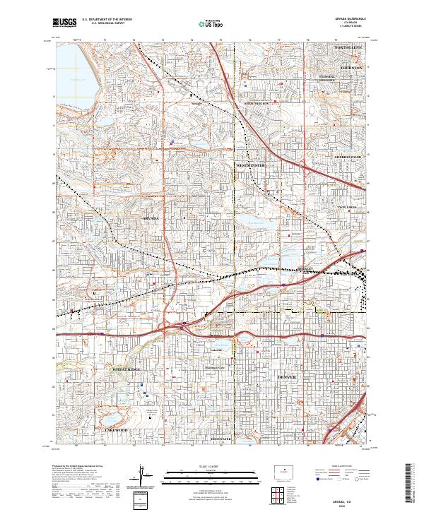 2022 Arvada2022 Print · USGSThe northern Denver suburbs and the Arvada corridor are shown in high detail during their modern expansion. Researchers can trace historic irrigation routes like the Croke Canal or locate local landmarks including Regis University and the Olinger Crown Hill Mortuary and Cem.
End of results
Showing maps 1-25 of 25
Top cities near Lakewood
- Denver historical maps
- Thornton historical maps
- Arvada historical maps
- Westminster historical maps
- Highlands Ranch historical maps
- Centennial historical maps
See more
Top neighborhoods of Lakewood
- Green Mountain Village historical maps
- West Link at Oak Station historical maps
- Spivak historical maps
- Edgemont historical maps
- Avenida Lakewood 55+ Active Living historical maps
Frequently asked questions
- What are the different types of historical maps available for Lakewood?
- What is the oldest map of Lakewood?
- Where can I purchase historical maps of Lakewood for my home or office?
- Where can I download high-res historical maps of Lakewood?
- Are there historical topographic maps available for Lakewood?
- Is there historical aerial imagery available for Lakewood?
- Where are historical maps of Lakewood sourced from?