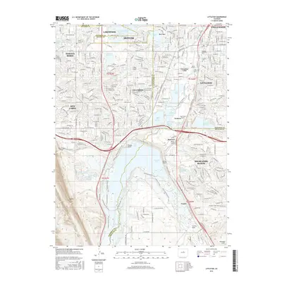
2016 Map of Littleton
USGS Topo · Published 2016About this map
Chatfield State Park dominates the southern half of this landscape, centered on the massive Chatfield Lake and its surrounding network of equestrian and nature trails. The South Platte River cuts northward through the center of the sheet, feeding into a dense complex of water bodies including South Platte Reservoir, Cooley Lake, and the bird-named waters of Eaglewatch Lake and Bufflehead Lake. The transition from the developed residential corridors of Littleton and Columbine to the open recreational and agricultural lands further south is sharp, delineated by the W Co Line Rd boundary.
Find a feature on this map
82 named features on this map. Tap any name to fly to it.
Don’t see what you’re looking for? This feature index may not catch every label — zoom into the map to look around manually.
Map Details
Editions of this 2016 Littleton Map
This is the sole edition of this map. No revisions or reprints were ever made.
Other maps of this area

1890 · East Denver
USGS Topo · 1:125,000

1893 · Platte Canyon
USGS Topo · 1:125,000

1894 · Castle Rock
USGS Topo · 1:125,000

1899 · West Denver
USGS Topo · 1:125,000

1913 · Castle Rock
USGS Topo · 1:125,000

1935 · East Denver Nos. 3 and 4
USGS Topo · 1:48,000

1938 · Morrison
USGS Topo · 1:24,000

1940 · Englewood
USGS Topo · 1:31,680

1940 · Castle Rock
USGS Topo · 1:62,500

1941 · Fort Logan
USGS Topo · 1:31,680