Old Maps of Bayfield, Colorado for Metal Detecting
Plan your next treasure hunt with 21 historic maps of Bayfield. Find old homesites, ghost towns, trails, and gathering spots that may be lost to time — perfect for identifying promising metal detecting locations.
- Locate forgotten sites: Uncover places like long-lost settlements, abandoned rail lines, or gathering spots.
- Plan better hunts: Use map overlays combined with LiDAR or satellite views to narrow in on historically rich areas.
- Made for detectorists: Thousands of hobbyists use these maps to discover relics, coins, and hidden history.
Use these historic maps to boost your research and find new opportunities beneath the surface of Bayfield.
Bayfield, CO maps
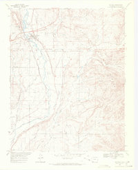
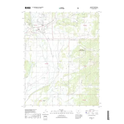
(21)- 1908 Map of Ignacio
 1908 Ignacio1908 Print · USGSLa Plata County and the Southern Ute lands are captured here in the first decade of the twentieth century. Genealogists and rail historians can trace the early growth of Durango and locate rural landmarks such as the Ute Indian Agency, Pinkerton Hot Springs, and the Oxford PO.3 unique versions available
 - 1924 Map of Ignacio, 1939 Print
 1924 Ignacio1939 Print · USGSLa Plata County during the mid-1920s reveals a landscape shaped by the Denver and Rio Grande Railroad and the carving of the Animas River. Researchers can trace the early layout of DURANGO, locate remote mountain schoolhouses like Little Red Sch, and identify historic boundaries such as the South Boundary Ceded Ute Land.4 unique versions available
 - 1945 Map of Durango
 1945 Durango1945 Print · USGSSouthwest Colorado and Northern New Mexico at mid-century are defined by the high peaks of the San Juan Range and the tribal lands of the Southern Ute. Genealogists and historians can trace the paths of the D & R G W RR and locate local landmarks like Animas City and the Blanco Basin School.3 unique versions available
 - 1953 Map of Durango, 1963 Print
 1953 Durango1963 Print · USGSThe high peaks of the San Juan Mountains and the Colorado mining country are shown here as they appeared in the early fifties. Genealogists and local historians can trace the rail lines of the D & R G W RR and locate historic mining camps like Silverton, Ouray, and Old Ophir.
 - 1954 Map of Durango
 1954 Durango1954 Print · USGSSouthern Colorado in the mid-1950s was defined by high-altitude mining towns and the expansion of water storage in the San Luis Valley. Trace the narrow-gauge Denver & Rio Grande Western RR as it connects Durango to mountain outposts like Silverton and Creede.2 unique versions available
 - 1961 Map of Durango
 1961 Durango1961 Print · USGSThe high San Juan country in the early sixties is shown here as a network of historic mining towns and early reservoir projects. Genealogists and researchers can trace the Denver & Rio Grande Western RR as it connects Durango, Silverton, and Arboles.
 - 1963 Map of Durango
 1963 Durango1963 Print · USGSThe San Juan Mountains and San Luis Valley are captured here in the early 1950s as mining, rail, and tribal lands shaped the region. Researchers can trace the Denver & Rio Grande Western RR through high-country towns like Telluride and Silverton, or locate landmarks such as the Asiatic Mine.
 - 1964 Map of Ludwig Mountain, 1968 Print
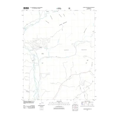
 1964 Ludwig Mountain1968 Print · USGSLa Plata County's high-country terrain is captured here in the mid-sixties, showing a landscape defined by the Los Pinos River and historic irrigation networks. Genealogists and researchers can trace local water rights and land use via the Sullivan Ditch, the settlement at Wallace, and Lake Simpatico.
 - 1966 Map of Durango
 1966 Durango1966 Print · USGSSouthwestern Colorado and the New Mexico borderlands are shown here in the mid-1960s, a time when the narrow-gauge rail network still tied the high peaks to the valley floor. Researchers can trace the Denver & Rio Grande Western Railroad between settlements like Silverton, Antonito, and Pagosa Springs.2 unique versions available
 - 1968 Map of Bayfield, 1972 Print
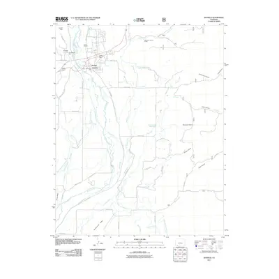
 1968 Bayfield1972 Print · USGSBayfield and the Los Pinos River valley appear here in the late sixties, a landscape shaped by a complex network of irrigation ditches and forest boundaries. Genealogists and researchers can trace local families through the Bayfield Cem and small communities like Missouri Center and Armstrong.2 unique versions available
 - 1983 Map of Durango
 1983 Durango1983 Print · USGSSouthwestern Colorado at the start of the 1980s shows a landscape where high-mountain wilderness meets the agricultural plateaus of the Southern Ute. Genealogists and historians can trace the Durango & Silverton Narrow Gauge Railroad or locate sites like Southern Ute Agency and Pagosa Junction.
 - 2011 Map of Ludwig Mountain, 2011 Print
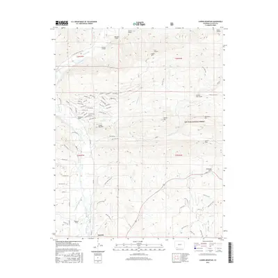
 2011 Ludwig Mountain2011 Print · USGSCovers Bayfield, including La Plata County, United States, and other nearby areas
 - 2011 Map of Bayfield, 2011 Print
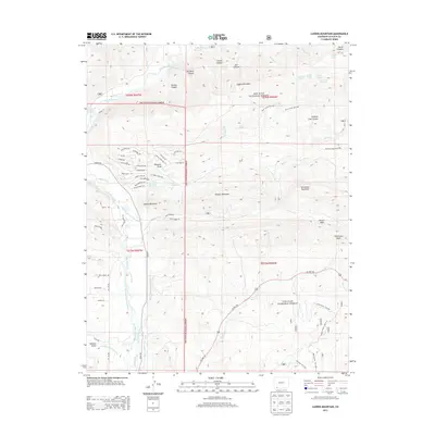
 2011 Bayfield2011 Print · USGSCovers Bayfield, including La Plata County, United States, and other nearby areas
 - 2013 Map of Bayfield, 2013 Print
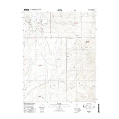
 2013 Bayfield2013 Print · USGSCovers Bayfield, including La Plata County, United States, and other nearby areas
 - 2013 Map of Ludwig Mountain, 2013 Print
 2013 Ludwig Mountain2013 Print · USGSCovers Bayfield, including La Plata County, United States, and other nearby areas
 - 2016 Map of Ludwig Mountain, 2016 Print
 2016 Ludwig Mountain2016 Print · USGSCovers Bayfield, including La Plata County, United States, and other nearby areas
 - 2016 Map of Bayfield, 2016 Print
 2016 Bayfield2016 Print · USGSCovers Bayfield, including La Plata County, United States, and other nearby areas
 - 2019 Map of Ludwig Mountain, 2019 Print
 2019 Ludwig Mountain2019 Print · USGSCovers Bayfield, including La Plata County, United States, and other nearby areas
 - 2019 Map of Bayfield, 2019 Print
 2019 Bayfield2019 Print · USGSCovers Bayfield, including La Plata County, United States, and other nearby areas
 - 2022 Map of Bayfield, 2022 Print
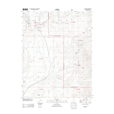
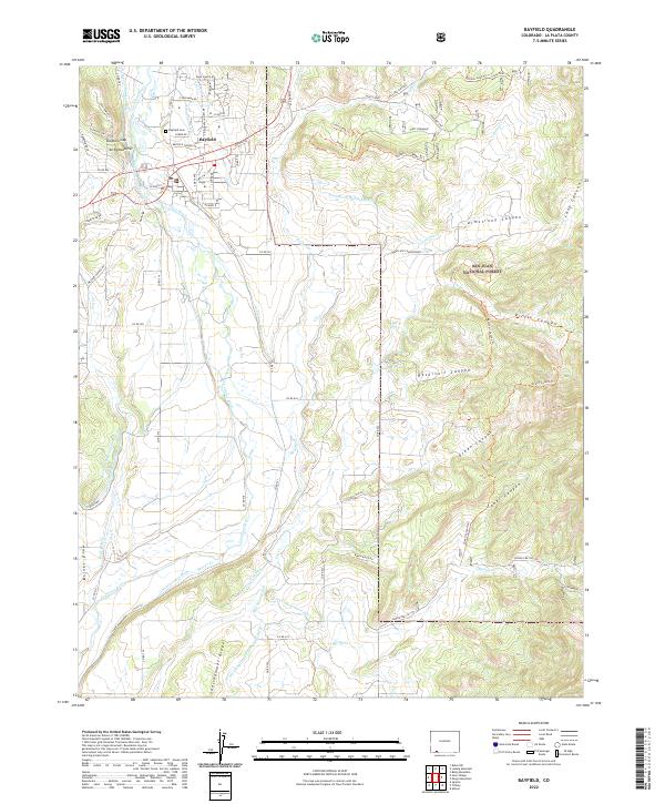 2022 Bayfield2022 Print · USGSThe town of Bayfield and the Los Pinos River valley are captured in this modern survey of La Plata County's transition from valley ranching to national forest. Researchers can trace land use through local water works like the Pine River Canal and find family-named landmarks such as Shellhammer Ridge and Dunham Gap.
 - 2022 Map of Ludwig Mountain, 2022 Print
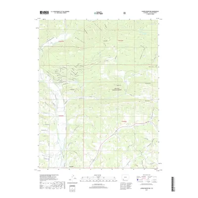
 2022 Ludwig Mountain2022 Print · USGSThe northern reaches of Bayfield meet the high peaks of the San Juan National Forest in the early twenty-first century. Researchers can trace the complex irrigation history of the Los Pinos River valley through the Schroeder Ditch and Thompson Epperson Ditch.
End of results
Showing maps 1-21 of 21
Top cities near Bayfield
Frequently asked questions
- What are the different types of historical maps available for Bayfield?
- What is the oldest map of Bayfield?
- Where can I purchase historical maps of Bayfield for my home or office?
- Where can I download high-res historical maps of Bayfield?
- Are there historical topographic maps available for Bayfield?
- Is there historical aerial imagery available for Bayfield?
- Where are historical maps of Bayfield sourced from?