2000s (21st Century) Maps of Leadville, Colorado
Explore 10 historic maps of Leadville from the 2000s (21st Century). These maps offer a rare glimpse into what life looked like during the 2000s — showing old roads, neighborhoods, homes, and landmarks that have changed or disappeared over time.
Whether you're researching your family's past, planning a metal detecting trip, or studying how Leadville's landscape evolved across the 2000s, these high-resolution maps are a powerful tool for exploring the history of this region.
- Focus on a specific era: All maps on this page are from the 2000s, giving you a focused view of this time period.
- See what’s changed: Compare century-old streets, trails, and buildings to today's modern landscape using overlays and satellite layers.
- Research with precision: Use these maps for genealogy, historical research, land use analysis, or educational projects.
- View, download, or print: Maps are fully viewable online in high resolution, and can be downloaded or printed for your own records.
Start exploring Leadville's history through authentic maps from the 2000s. This is your window into the past.
Leadville, CO maps
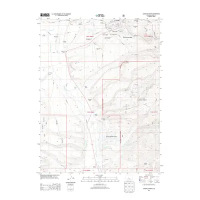
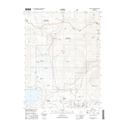
(10)- 2011 Map of Leadville South, 2011 Print
 2011 Leadville South2011 Print · USGSCovers Leadville, including Kobe, Mount Massive Lakes, and other nearby areas
 - 2011 Map of Leadville North, 2011 Print
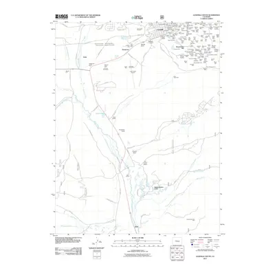
 2011 Leadville North2011 Print · USGSCovers Leadville, including Leadville Junction, Eagle County, and other nearby areas
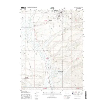
 - 2013 Map of Leadville South, 2013 Print
 2013 Leadville South2013 Print · USGSCovers Leadville, including Kobe, Mount Massive Lakes, and other nearby areas
 - 2013 Map of Leadville North, 2013 Print
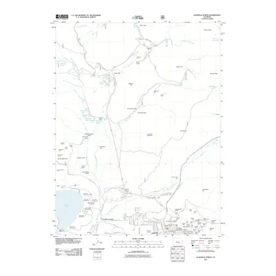
 2013 Leadville North2013 Print · USGSCovers Leadville, including Leadville Junction, Eagle County, and other nearby areas
 - 2016 Map of Leadville North, 2016 Print
 2016 Leadville North2016 Print · USGSCovers Leadville, including Leadville Junction, Eagle County, and other nearby areas
 - 2016 Map of Leadville South, 2016 Print
 2016 Leadville South2016 Print · USGSCovers Leadville, including Kobe, Mount Massive Lakes, and other nearby areas
 - 2019 Map of Leadville South, 2019 Print
 2019 Leadville South2019 Print · USGSCovers Leadville, including Kobe, Mount Massive Lakes, and other nearby areas
 - 2019 Map of Leadville North, 2019 Print
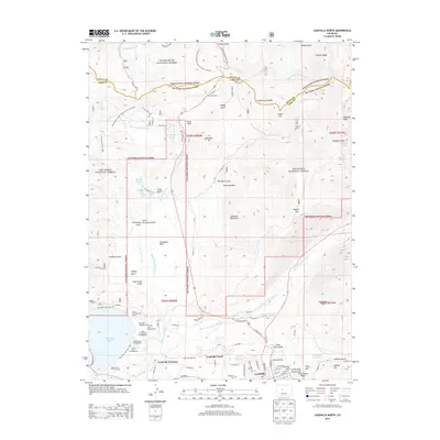
 2019 Leadville North2019 Print · USGSCovers Leadville, including Leadville Junction, Eagle County, and other nearby areas
 - 2022 Map of Leadville South, 2022 Print
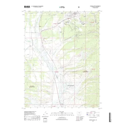
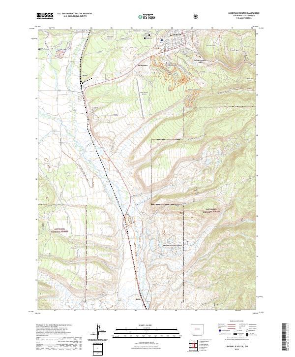 2022 Leadville South2022 Print · USGSLake County's high-altitude mining and ranching heritage is mapped here as it appeared in the early 2020s. Researchers can trace historic industrial sites like Resurrection Mill, the legacy of Stringtown, and family plots at Saint Joseph Cem.
 - 2022 Map of Leadville North, 2022 Print
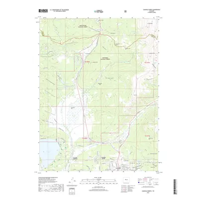
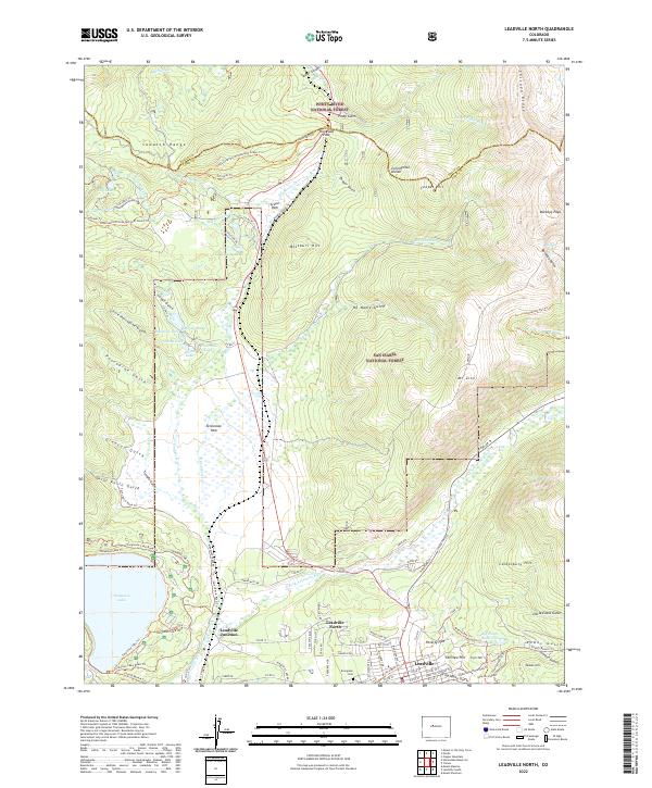 2022 Leadville North2022 Print · USGSThe high-country mining district north of Leadville is shown in modern detail, from the banks of the E Fork Arkansas River to the Sawatch Range. Genealogists and researchers can trace local history at Evergreen Cem or locate the old rail crossroads of Leadville Junction.
End of results
Showing maps 1-10 of 10
Top cities near Leadville
Frequently asked questions
- What are the different types of historical maps available for Leadville?
- What is the oldest map of Leadville?
- Where can I purchase historical maps of Leadville for my home or office?
- Where can I download high-res historical maps of Leadville?
- Are there historical topographic maps available for Leadville?
- Is there historical aerial imagery available for Leadville?
- Where are historical maps of Leadville sourced from?