Old Maps of Leadville, Colorado for Metal Detecting
Plan your next treasure hunt with 28 historic maps of Leadville. Find old homesites, ghost towns, trails, and gathering spots that may be lost to time — perfect for identifying promising metal detecting locations.
- Locate forgotten sites: Uncover places like long-lost settlements, abandoned rail lines, or gathering spots.
- Plan better hunts: Use map overlays combined with LiDAR or satellite views to narrow in on historically rich areas.
- Made for detectorists: Thousands of hobbyists use these maps to discover relics, coins, and hidden history.
Use these historic maps to boost your research and find new opportunities beneath the surface of Leadville.
Leadville, CO maps
(28)- 1889 Map of Leadville, 1955 Print
 1889 Leadville1955 Print · USGSThe Colorado high country at the peak of its mining era reveals a landscape of high-altitude rail lines and booming silver camps. Genealogists and historians can trace the early rail routes of the Colorado Midland Railway, find the origins of Leadville, and locate mountain settlements like Alma and Kokomo.
 - 1891 Map of Leadville
 1891 Leadville1891 Print · USGSThe Silver City and its surrounding mining camps are caught at their industrial height in the 1880s and 90s. Trace the competing rail lines and high-altitude settlements from Holy Cross City to the busy streets of Leadville and London Park City.7 unique versions available
 - 1935 Map of Mount Elbert, 1955 Print
 1935 Mount Elbert1955 Print · USGSThe Lake County high country comes alive in the mid-1930s, showing a landscape defined by mining, mountain trails, and the headwaters of the Arkansas. Genealogists and researchers can trace the rail stops at Yale Sta, old mines like the Columbine Mine, and early mountain pathways like the Mt Elbert Trail.4 unique versions available
 - 1938 Map of Mount Elbert, 1944 Print
 1938 Mount Elbert1944 Print · USGSThe Colorado high country in the late thirties is defined by its massive peaks and the industrial rail lines of the Arkansas River valley. Trace historic mining sites like Columbine Mine and rail stops at Malta and Yale Sta.
 - 1939 Map of Mount Elbert
 1939 Mount Elbert1939 Print · USGSThe high peaks and mining corridors of Lake County are captured here in the late thirties as the industrial legacy of the Rockies met new conservation and water projects. Genealogists and historians can trace the rail lines through Leadville, locate the Columbine Mine, or find the Soda Springs Sch near the Arkansas River.2 unique versions available
 - 1942 Map of Leadville, 1943 Print
 1942 Leadville1943 Print · USGSHigh in the Rockies during the early war years, this area served as a critical hub for military training and mining operations. Trace the rail lines of the Denver and Rio Grande Western RR and find local landmarks like the U. S. Fish Hatchery or the Adelaide mine.
 - 1949 Map of Holy Cross, 1955 Print
 1949 Holy Cross1955 Print · USGSThe Eagle River valley and the high-altitude terrain of the Sawatch Range are captured here just after the war. You can trace the military history of Camp Hale and find old mining claims like the Matchless Mine or the remote Holy Cross City.7 unique versions available
 - 1951 Map of Holy Cross
 1951 Holy Cross1951 Print · USGSHigh in the Sawatch Mountains during the post-war era, this region shows a landscape shaped by military training and alpine mining. Researchers can trace the layout of Camp Hale, locate the Homestake Mine, or find the high-altitude Evergreen Cem.2 unique versions available
 - 1957 Map of Leadville, 1978 Print
 1957 Leadville1978 Print · USGSHigh-country mining and rail transport define the central Colorado Rockies during the mid-to-late twentieth century. Researchers can trace the industrial footprints of Gilman and Climax, find small rail stops like Malta, and follow the Denver and Rio Grande Western RR.2 unique versions available
 - 1959 Map of Leadville
 1959 Leadville1959 Print · USGSThe Colorado high country in the late fifties is a landscape of mining history and military training, from the streets of Leadville to the Camp Hale grounds. Genealogists and historians can trace the Denver and Rio Grande Western RR alongside now-deserted sites like Ashcroft and Independence.
 - 1960 Map of Leadville
 1960 Leadville1960 Print · USGSThe Colorado high country in the mid-fifties comes alive through its mining camps, river valleys, and rail lines. Trace the industrial legacy of the Climax Molybdenum Mine and explore the alpine reaches of the Camp Hale Military Reservation.2 unique versions available
 - 1962 Map of Leadville
 1962 Leadville1962 Print · USGSThe Colorado high country in the early sixties was a rugged landscape of mining camps, military training grounds, and emerging ski towns. Researchers can trace the legacy of Camp Hale, locate the Molybdenum mine near Leadville, and follow the Denver and Rio Grande Western RR through the canyons.
 - 1964 Map of Leadville
 1964 Leadville1964 Print · USGSColorado's high country is captured here during the mid-1960s, showing the intersection of mining history and mountain transport. Trace the legacy of high-altitude industry at the Climax Molybdenum Mine or follow the rails of the Colorado and Southern Ry past Leadville.
 - 1969 Map of Leadville South, 1972 Print
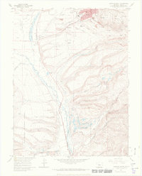 1969 Leadville South1972 Print · USGSLeadville and its southern mining districts are documented in the late 1960s, showing a high-mountain landscape shaped by mineral extraction and the railroad. Genealogists and historians can trace the Adelaide and Oro town sites or locate graves at Evergreen Cemetery.4 unique versions available
 - 1970 Map of Leadville North, 1973 Print
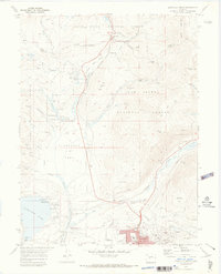 1970 Leadville North1973 Print · USGSIn the early 1970s, the mountain slopes north of Leadville remained a complex landscape of active mining and growing alpine recreation. Researchers can trace historic claims like the Matchless Mine, locate the Evergreen Cem, and explore the rail lines leading toward Tennessee Pass.4 unique versions available
 - 1983 Map of Leadville
 1983 Leadville1983 Print · USGSThe Colorado high country in the early eighties shows a landscape of world-class peaks and deep-rooted mining industry. Trace the historic tracks of the Denver and Rio Grande Western RR and locate high-altitude operations like the Climax Mine or London Mine.2 unique versions available
 - 1994 Map of Leadville South, 1998 Print
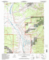 1994 Leadville South1998 Print · USGSLeadville and its southern mining districts are captured in the mid-nineties, showing a landscape defined by silver-mining history and high-altitude industry. Researchers can trace the heritage of the gulches through sites like the Badger State Mine, St Joseph Cem, and the old settlement at Oro.
 - 1994 Map of Leadville North, 1998 Print
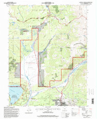 1994 Leadville North1998 Print · USGSThe Colorado high country near the Continental Divide is captured here in the mid-1990s as the historic mining district meets modern recreation. Genealogists and historians can trace the Evergreen Cem, old rail lines at Leadville Junction, and storied mines like the Matchless Mine.
 - 2011 Map of Leadville South, 2011 Print
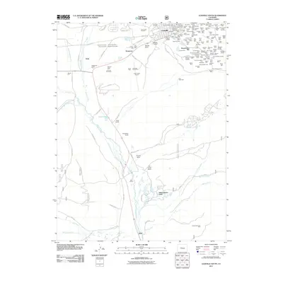 2011 Leadville South2011 Print · USGSThe high-elevation mining district around Leadville is shown here in the early twenty-first century, preserving the footprints of over a century of extraction. Researchers can trace dozens of specific claims and shafts, from the Only Chance Mine to the Bessie Wilgus Shaft and Saint Joseph Cemetery.
 - 2011 Map of Leadville North, 2011 Print
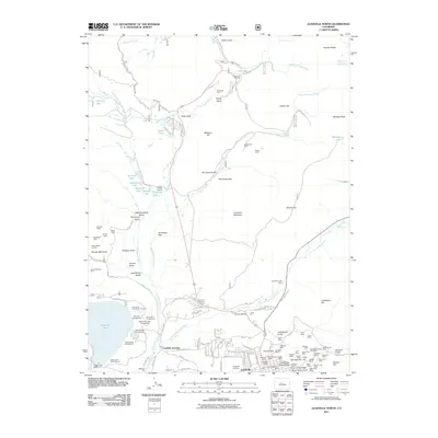 2011 Leadville North2011 Print · USGSThe high Rockies mining district around Leadville is captured here in the early twenty-first century, showcasing a landscape defined by deep shafts and alpine tunnels. Researchers can trace the heritage of the Silver City through sites like Evergreen Cemetery, the Jennie June Mine, and Leadville Junction.
 - 2013 Map of Leadville South, 2013 Print
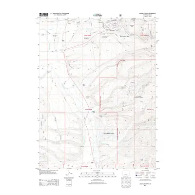 2013 Leadville South2013 Print · USGSThe high country of Lake County reveals its deep mining and water-management history in the early 2000s. Researchers can trace the industrial footprint of the Resurrection Mill and find family-history markers at Saint Joseph Cem or the settlement at Stringtown.
 - 2013 Map of Leadville North, 2013 Print
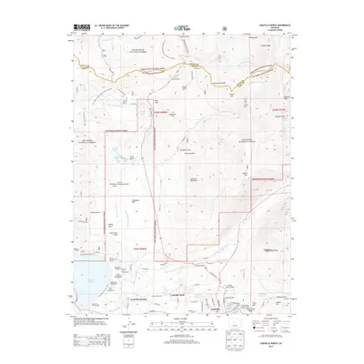 2013 Leadville North2013 Print · USGSHigh in the Colorado Rockies during the early twenty-first century, this map shows the enduring landscape of a historic mining and recreation hub. Trace the origins of the local population at Evergreen Cem or explore the alpine transit routes through Tennessee Pass and the Tenth Mtn Div Mem Hwy.
 - 2016 Map of Leadville North, 2016 Print
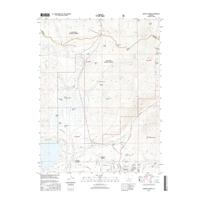 2016 Leadville North2016 Print · USGSLeadville and its high-altitude northern environs are captured here in the mid-2010s, showcasing a landscape defined by the Continental Divide and the upper Arkansas River. Genealogists and hikers can trace the Evergreen Cem grounds, the Tennessee Pass crossing, and the path of the Continental Divide National Scenic Trail.
 - 2016 Map of Leadville South, 2016 Print
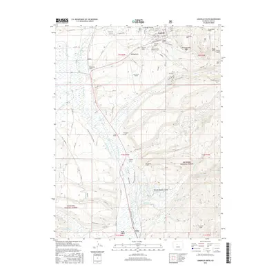 2016 Leadville South2016 Print · USGSThe southern fringes of the Colorado high country are captured here in the mid-2010s, revealing the industrial and residential patterns of a famous mining district. Researchers can trace the heritage of Leadville near the Resurrection Mill or locate family roots at Saint Joseph Cem.
 - 2019 Map of Leadville South, 2019 Print
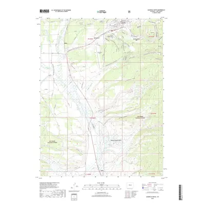 2019 Leadville South2019 Print · USGSLeadville at the peak of its modern era shows a landscape defined by its silver mining roots and new life as a mountain sports hub. Researchers can locate the Resurrection Mill, trace historic ditches like Derry Number 1 Ditch, and find local landmarks from Saint Joseph Cem to Malta.
Showing maps 1-25 of 28
Top cities near Leadville
Frequently asked questions
- What are the different types of historical maps available for Leadville?
- What is the oldest map of Leadville?
- Where can I purchase historical maps of Leadville for my home or office?
- Where can I download high-res historical maps of Leadville?
- Are there historical topographic maps available for Leadville?
- Is there historical aerial imagery available for Leadville?
- Where are historical maps of Leadville sourced from?