Old Maps of Big Elk Meadows, Colorado for Academic Research
Study the evolution of Big Elk Meadows with 15 high-resolution historic maps. Whether you're teaching, researching, or modeling changes in land use, these maps provide essential visual documentation of urban, environmental, and geographic change.
- Analyze long-term change: Track patterns in development, transportation, and natural features.
- Ideal for environmental or urban studies: Support academic projects with primary historical map data.
- Use in the classroom or lab: Educators and researchers rely on these maps to bring historical context to life.
These maps are a powerful tool for teaching, research, and visualizing how Big Elk Meadows has changed over the decades.
Big Elk Meadows, CO maps
(15)- 1905 Map of Mount Olympus, 1955 Print
 1905 Mount Olympus1955 Print · USGSLarimer County mountain life is captured here at the turn of the century as early ranching and tourism began to define the canyons. Genealogists and historians can trace family-held lands such as Pflums Ranch, stay at the Rustic Hotel, or locate the now-submerged site of Pinewood.2 unique versions available
 - 1907 Map of Mount Olympus
 1907 Mount Olympus1907 Print · USGSLarimer County at the turn of the century shows a landscape of early cattle ranches and mountain retreats along the Thompson River. Genealogists can trace family holdings at the Plum's Ranch and Miners Ranch or locate the historic Rustic Hotel and Noland rail stop.4 unique versions available
 - 1954 Map of Greeley, 1966 Print
 1954 Greeley1966 Print · USGSNorthern Colorado transitions from high-alpine peaks to the irrigated South Platte valley during this mid-century period of growth. Genealogists and historians can trace rail-connected hubs like Greeley and Longmont alongside landmarks like Horsetooth Reservoir and Estes Park.3 unique versions available
 - 1957 Map of Greeley
 1957 Greeley1957 Print · USGSNorthern Colorado in the mid-fifties is captured here as the agricultural plains of Weld County meet the high peaks of the Front Range. Genealogists and historians can trace rail-linked towns like Keenesburg and Roggen or locate early water features such as Boyd Lake and Fossil Creek Reservoir.
 - 1958 Map of Greeley
 1958 Greeley1958 Print · USGSNorthern Colorado and the high peaks of the Front Range appear here in the mid-fifties as the region's agricultural and rail networks were fully established. Genealogists can locate family homes near Virginia Dale, Waverly, or Kuner, and trace the path of the Union Pacific Railroad through Greeley.
 - 1961 Map of Greeley
 1961 Greeley1961 Print · USGSNorthern Colorado's transition from high mountain peaks to irrigated plains is captured here just as the post-war population boom reached the Front Range. Researchers can trace early water infrastructure and rail lines like the Great Western RR connecting sugar beet hubs from Fort Collins to Greeley.
 - 1962 Map of Panorama Peak, 1964 Print
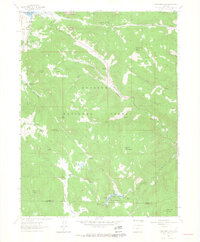 1962 Panorama Peak1964 Print · USGSThe foothills of the Front Range come alive in the early sixties, showing the mountain community of Estes Park and the early development of Stanley Park. Researchers can trace the boundaries of legacy properties like Crocker Ranch, follow the winding path of Muggins Gulch, or locate remote landmarks like Pierson Park and Big Elk Meadows.7 unique versions available
 - 1964 Map of Greeley
 1964 Greeley1964 Print · USGSThe Front Range corridor and high peaks of the Rockies appear here in the mid-1960s, showing the intersection of mountain wilderness and plains agriculture. Trace the rail routes of the Great Western RR or locate landmarks like Longs Peak and Horsetooth Reservoir.
 - 1965 Map of Greeley
 1965 Greeley1965 Print · USGSNorthern Colorado in the mid-sixties shows a landscape defined by high mountain summits and the growing irrigation networks of the plains. Genealogists and historians can trace rail-side towns like Wellington or follow the early tracks of the Union Pacific Railroad past Longs Peak.
 - 1984 Map of Estes Park
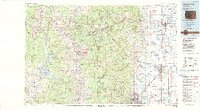 1984 Estes Park1984 Print · USGSThe northern Front Range and high peaks come into focus during the mid-eighties, showing the intersection of mountain wilderness and urban expansion. Trace the rail lines of the Union Pacific, the shores of Lake Granby, and historic mountain towns like Gold Hill or Eldora.3 unique versions available
 - 2011 Map of Panorama Peak, 2011 Print
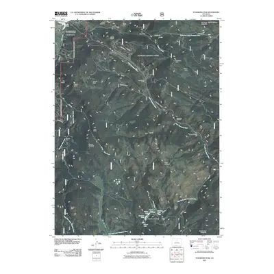 2011 Panorama Peak2011 Print · USGSEstes Park and the surrounding Larimer County foothills are captured here in the early twenty-first century. Researchers can trace land use from the Greeno Mines and Meadowdale Ranch to the local Community Church of the Rockies Cemetery and the waters of Lake Estes.
 - 2013 Map of Panorama Peak, 2013 Print
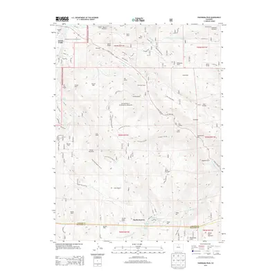 2013 Panorama Peak2013 Print · USGSEstes Park and the Front Range peaks are shown during a period of modern mountain development and preserved wilderness. Trace the paths of the Homestead Meadows Trail or locate remote sites like Meadowdale Ranch and Big Elk Meadows.
 - 2016 Map of Panorama Peak, 2016 Print
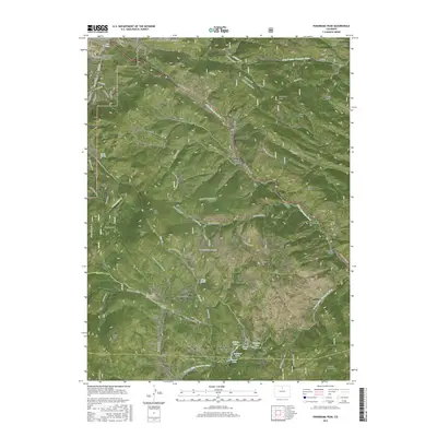 2016 Panorama Peak2016 Print · USGSThe eastern edges of the Front Range come alive in this mid-2010s survey of the high country surrounding Estes Park. Researchers can trace the winding Homestead Meadows Trail or locate family sites near Big Elk Meadows and the Community Church of the Rockies Columbarium.
 - 2019 Map of Panorama Peak, 2019 Print
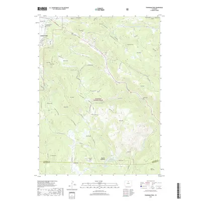 2019 Panorama Peak2019 Print · USGSThe eastern edges of Estes Park meet the high forest peaks in the late 2010s, revealing a landscape of historic mountain ranches and modern conservation. Researchers can trace family sites like the Irvin Homestead or locate high-altitude landmarks such as Panorama Peak and Big Elk Meadows.
 - 2022 Map of Panorama Peak, 2022 Print
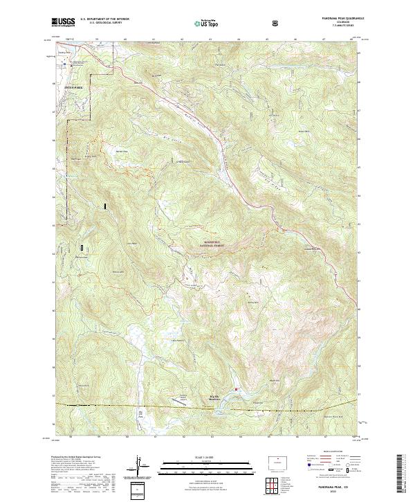 2022 Panorama Peak2022 Print · USGSEstes Park and the neighboring mountain peaks were undergoing modern development in 2022 while preserving their frontier ranching roots. Researchers can trace historic sites like the Irvin Homestead Trl, Big Elk Meadows, and Pierson Park.
End of results
Showing maps 1-15 of 15
Top cities near Big Elk Meadows
- Boulder historical maps
- Estes Park historical maps
- Lyons historical maps
- Jamestown historical maps
- Ward historical maps
Frequently asked questions
- What are the different types of historical maps available for Big Elk Meadows?
- What is the oldest map of Big Elk Meadows?
- Where can I purchase historical maps of Big Elk Meadows for my home or office?
- Where can I download high-res historical maps of Big Elk Meadows?
- Are there historical topographic maps available for Big Elk Meadows?
- Is there historical aerial imagery available for Big Elk Meadows?
- Where are historical maps of Big Elk Meadows sourced from?