Old Maps of Cokedale, Colorado for Metal Detecting
Plan your next treasure hunt with 23 historic maps of Cokedale. Find old homesites, ghost towns, trails, and gathering spots that may be lost to time — perfect for identifying promising metal detecting locations.
- Locate forgotten sites: Uncover places like long-lost settlements, abandoned rail lines, or gathering spots.
- Plan better hunts: Use map overlays combined with LiDAR or satellite views to narrow in on historically rich areas.
- Made for detectorists: Thousands of hobbyists use these maps to discover relics, coins, and hidden history.
Use these historic maps to boost your research and find new opportunities beneath the surface of Cokedale.
Cokedale, CO maps
(23)- 1891 Map of Spanish Peaks
 1891 Spanish Peaks1891 Print · USGSLas Animas county at the end of the nineteenth century was a rugged landscape of new rail lines and river settlements. Genealogists and historians can trace the early footprints of Trinidad, the path of the Denver Texas and Fort Worth Railroad, and canyon outposts like Starkville and Sopris.2 unique versions available
 - 1893 Map of Spanish Peaks
 1893 Spanish Peaks1893 Print · USGSSouthern Colorado was a land of expanding rail and river commerce in the late nineteenth century. Genealogists and historians can trace the early footprints of Trinidad and mountain outposts like Starkville, Morley, and Schultze Plaza.2 unique versions available
 - 1895 Map of Spanish Peaks, 1961 Print
 1895 Spanish Peaks1961 Print · USGSSouthern Colorado at the close of the nineteenth century was a land of high peaks and industrial transition. Genealogists can trace family names through traditional plazas like Trujillo Plaza or follow the early rail stops at Ludlow, Sopris, and Aguilar.
 - 1897 Map of Spanish Peaks
 1897 Spanish Peaks1897 Print · USGSLas Animas County was a hub of mining and rail activity in the late nineteenth century as the industrial frontier pushed into the canyons. Genealogists and historians can trace early settlements like Trujillo Plaza and mining camps at Ludlow and Berwind.5 unique versions available
 - 1900 Map of Spanish Peaks
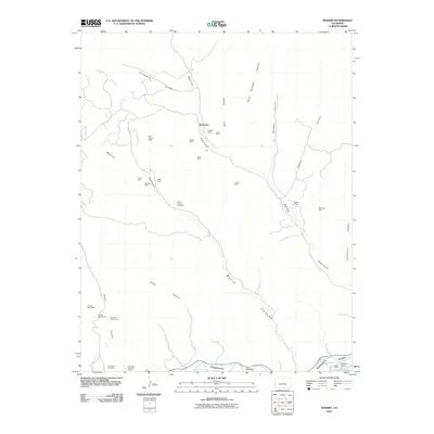
 1900 Spanish Peaks1900 Print · USGSSouthern Colorado at the turn of the century is a landscape of high peaks, Spanish land grants, and booming coal towns. Genealogists can trace family roots through traditional plazas like Trujillo Plaza or industrial centers like Aguilar and Starkville.
 - 1951 Map of Trinidad, 1953 Print
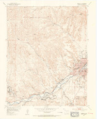 1951 Trinidad1953 Print · USGSTrinidad and the Purgatoire River valley are shown here in the early fifties during a period of industrial transition. Researchers can trace the extensive coal mining infrastructure at Starkville and Cokedale or locate family roots at the Masonic Cemetery and St Josephs Church.6 unique versions available
 - 1951 Map of Madrid, 1953 Print
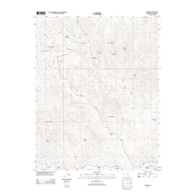
 1951 Madrid1953 Print · USGSLas Animas County at the dawn of the 1950s shows a landscape of coal mining settlements and canyon-floor ranching. Genealogists can trace the history of mining families near Boncarbo and Primero, locating landmarks like San Juan Cemetery and several abandoned schools.3 unique versions available
 - 1954 Map of Trinidad, 1963 Print
 1954 Trinidad1963 Print · USGSSouthern Colorado is captured here during the mid-fifties, showing the vital rail-and-river connections between the San Luis Valley and the eastern foothills. Researchers can trace the Denver and Rio Grande Western line and locate rural landmarks like Malachite School and San Luis.2 unique versions available
 - 1955 Map of Trinidad, 1976 Print
 1955 Trinidad1976 Print · USGSSouthern Colorado during the mid-fifties is defined by the high-altitude agriculture of the San Luis Valley and the peaks of the Culebra Range. Genealogists can trace early settlements and rural schoolhouses like Medina Plaza, San Luis, and the Trujillo Creek School.
 - 1958 Map of Trinidad
 1958 Trinidad1958 Print · USGSSouthern Colorado in the late fifties was a landscape of high-altitude agriculture and coal production, centered on the San Luis Valley. Local historians can trace old community centers like the Malachite School or follow the mining and rail activity near Walsenburg and the Allen Mine.
 - 1959 Map of Trinidad
 1959 Trinidad1959 Print · USGSThe San Luis Valley and the high Sangre de Cristo peaks are documented here in the late fifties, during a period of steady ranching and rail activity. Genealogy researchers can locate family-named landmarks and rural institutions like Trujillo Creek School and the historic San Luis settlement.
 - 1982 Map of Trinidad, 1983 Print
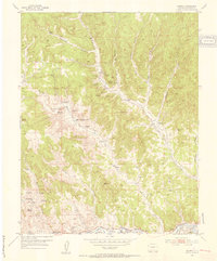
 1982 Trinidad1983 Print · USGSSouthern Colorado's high desert and mesas are captured here in the early 1980s, centered on the historic rail hub of Trinidad. Researchers can trace the industrial and social footprints of Ludlow, Cokedale, and traditional settlements like Velasquez Plaza.
 - 1988 Map of Trinidad
 1988 Trinidad1988 Print · USGSSouthern Colorado in the late eighties reveals a landscape of high-altitude farming and mountain rail corridors. Genealogists and historians can trace the foundations of San Luis and Fort Garland or find old stops on the D & R G W RR and A T & S F Ry.
 - 2010 Map of Trinidad West, 2010 Print
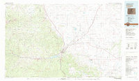
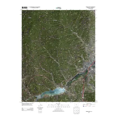
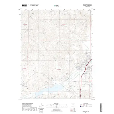
 2010 Trinidad West2010 Print · USGSCovers Cokedale, including Trinidad, Jansen, and other nearby areas
 - 2010 Map of Madrid, 2010 Print
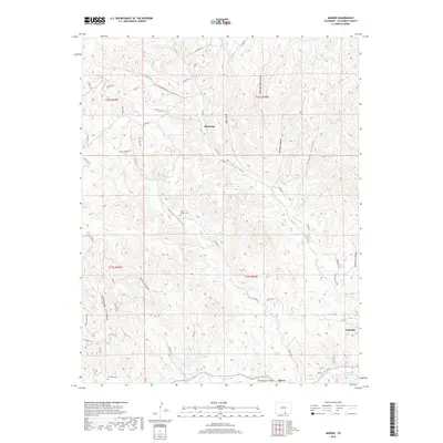
 2010 Madrid2010 Print · USGSCovers Cokedale, including Tijeras, San Juan, and other nearby areas
 - 2013 Map of Madrid, 2013 Print
 2013 Madrid2013 Print · USGSCovers Cokedale, including Tijeras, San Juan, and other nearby areas
 - 2013 Map of Trinidad West, 2013 Print
 2013 Trinidad West2013 Print · USGSCovers Cokedale, including Trinidad, Jansen, and other nearby areas
 - 2016 Map of Madrid, 2016 Print
 2016 Madrid2016 Print · USGSCovers Cokedale, including Tijeras, San Juan, and other nearby areas
 - 2016 Map of Trinidad West, 2016 Print
 2016 Trinidad West2016 Print · USGSCovers Cokedale, including Trinidad, Jansen, and other nearby areas
 - 2019 Map of Trinidad West, 2019 Print
 2019 Trinidad West2019 Print · USGSCovers Cokedale, including Trinidad, Jansen, and other nearby areas
 - 2019 Map of Madrid, 2019 Print
 2019 Madrid2019 Print · USGSCovers Cokedale, including Tijeras, San Juan, and other nearby areas
 - 2022 Map of Madrid, 2022 Print
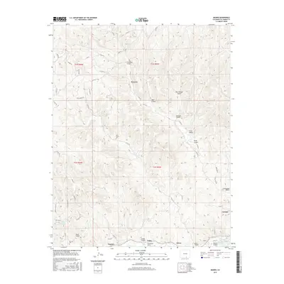
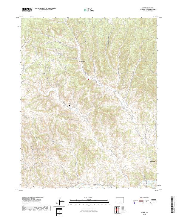 2022 Madrid2022 Print · USGSSouthern Colorado canyon country is documented here in the early twenty-first century, centered on the historic mining and ranching settlements of Las Animas County. Family historians can locate specific sites like San Juan Cem and Burro Canyon Cem among the drainages of Valdez Canyon and the Purgatoire River.
 - 2022 Map of Trinidad West, 2022 Print
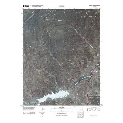
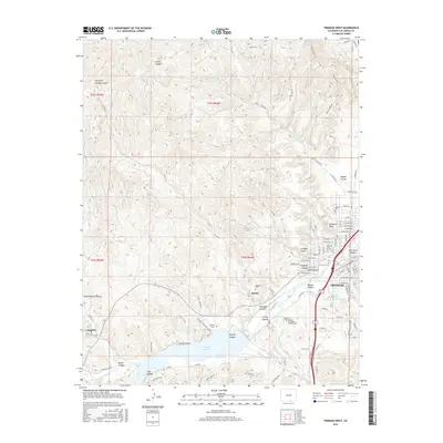
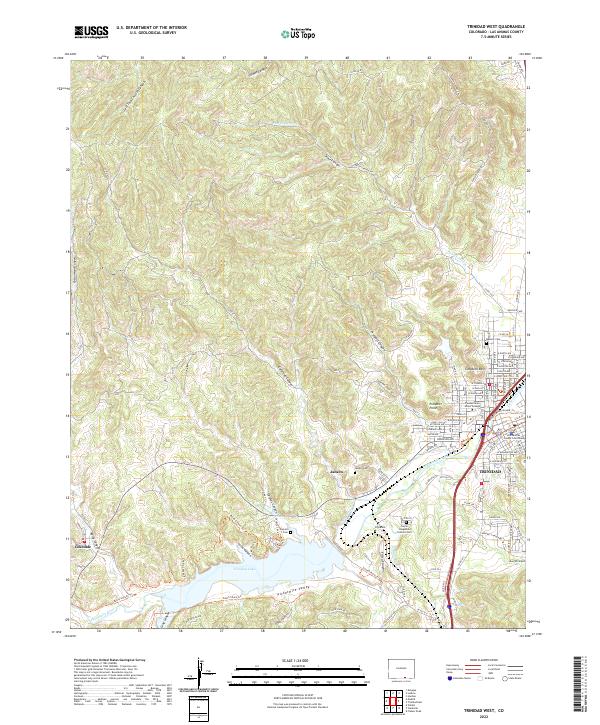 2022 Trinidad West2022 Print · USGSTrinidad and the Purgatoire River valley are captured here in the early twenty-first century, showing the urban growth and reservoir infrastructure of Las Animas County. Researchers can trace historic cemeteries and local institutions from Trinidad to Cokedale, including Trinidad State Junior College and the Carpio Longsdale Catholic Cemetery.
End of results
Showing maps 1-23 of 23
Top cities near Cokedale
Frequently asked questions
- What are the different types of historical maps available for Cokedale?
- What is the oldest map of Cokedale?
- Where can I purchase historical maps of Cokedale for my home or office?
- Where can I download high-res historical maps of Cokedale?
- Are there historical topographic maps available for Cokedale?
- Is there historical aerial imagery available for Cokedale?
- Where are historical maps of Cokedale sourced from?