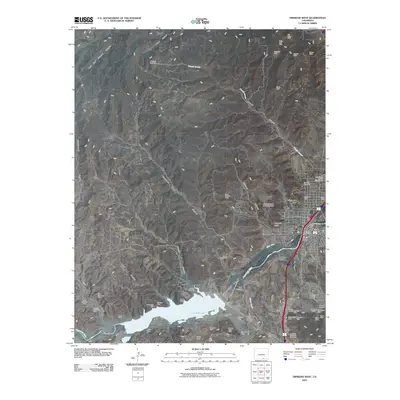
2010 Map of Trinidad West
USGS Topo · Published 2010About this map
Trinidad serves as the focal point of this Southern Colorado landscape, situated where the Purgatoire River flows through the Picketwire Valley. The western edge of the city is defined by the significant waters of Trinidad Lake, created by the Trinidad Dam. This 2010 survey highlights a region deeply defined by its industrial roots, specifically the extensive coal mining operations that once drove the local economy. A dense network of mines, including the Starkville Mine, Main Cokedale Mine, and Animas Mine, are scattered across the surrounding canyons and mesas.
Find a feature on this map
64 named features on this map. Tap any name to fly to it.
Don’t see what you’re looking for? This feature index may not catch every label — zoom into the map to look around manually.
Map Details
Editions of this 2010 Trinidad West Map
This is the sole edition of this map. No revisions or reprints were ever made.
Other maps of this area

1891 · Spanish Peaks
USGS Topo · 1:125,000

1892 · Elmoro
USGS Topo · 1:125,000

1893 · Spanish Peaks
USGS Topo · 1:125,000

1893 · Elmoro
USGS Topo · 1:125,000

1895 · Spanish Peaks
USGS Topo · 1:125,000

1897 · Elmoro
USGS Topo · 1:125,000

1897 · Spanish Peaks
USGS Topo · 1:125,000

1900 · Spanish Peaks
USGS Topo · 1:125,000

1951 · Trinidad
USGS Topo · 1:24,000

1951 · Valdez
USGS Topo · 1:24,000