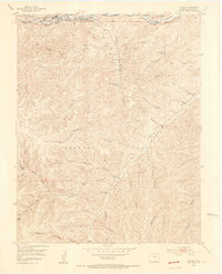
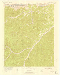
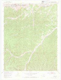
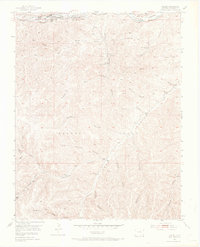
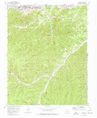
1951 Map of Valdez
USGS Topo · Published 1953About this map
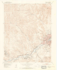
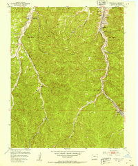
Industrial infrastructure and steep-walled canyons define the landscape of the Maxwell Grant in the early 1950s. Along the Purgatoire River, also labeled as the Picketwire River, the coal-driven economy of the region is evident through the extensive workings of the Frederick Mine. This operation includes a Pipe Drain, an Airshaft, and a Frederick Mine Shaft noted as inactive by the time of this field check. Nearby, the settlement of Segundo is distinguished by its Coke Ovens, while the Colorado and Wyoming railroad tracks follow the river valley to serve the local mines.
Find a feature on this map
38 named features on this map. Tap any name to fly to it.
Don’t see what you’re looking for? This feature index may not catch every label — zoom into the map to look around manually.
Map Details
Editions of this 1951 Valdez Map
5 editions found
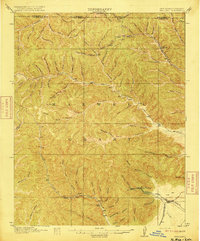
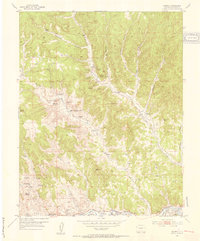
Other maps of this area

1891 · Spanish Peaks
USGS Topo · 1:125,000

1893 · Spanish Peaks
USGS Topo · 1:125,000

1895 · Spanish Peaks
USGS Topo · 1:125,000

1897 · Spanish Peaks
USGS Topo · 1:125,000

1900 · Spanish Peaks
USGS Topo · 1:125,000
1915 · Brilliant
USGS Topo · 1:62,500
1951 · Trinidad
USGS Topo · 1:24,000
1951 · Madrid
USGS Topo · 1:24,000
1951 · Starkville
USGS Topo · 1:24,000

1954 · Raton
USGS Topo · 1:250,000