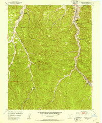
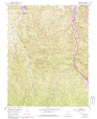
1951 Map of Starkville
USGS Topo · Published 1953About this map
Starkville and the canyon-cut landscape of the Maxwell Grant define this mid-century survey of the coal country south of Trinidad. The settlement of Starkville is remarkably detailed, showing three distinct schoolhouses—North Starkville, Central Starkville, and South Starkville—along with the Starkville Cemetery. The industrial history of the area is evident in the Starkville Mines (Abandoned) and associated Slack Piles, while further south, the Morley Mine remains a focal point of activity near the Atchison Topeka and Santa Fe RR. Beyond the coal works, the map reveals cultural landmarks such as the Fraternidad de Nuestro Padre Jesus Mi Senora Del Carmel and the remote Gallinas outpost. The terrain is a complex network of drainages, including Raton Creek, Gallinas Creek, and Saruche Canyon, which shaped the paths of both the railroad and the local roads.
Find a feature on this map
22 named features on this map. Tap any name to fly to it.
Don’t see what you’re looking for? This feature index may not catch every label — zoom into the map to look around manually.
Map Details
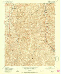
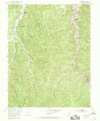
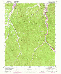
Editions of this 1951 Starkville Map
5 editions found
Other maps of this area

1891 · Spanish Peaks
USGS Topo · 1:125,000

1892 · Elmoro
USGS Topo · 1:125,000

1893 · Spanish Peaks
USGS Topo · 1:125,000

1893 · Elmoro
USGS Topo · 1:125,000

1895 · Spanish Peaks
USGS Topo · 1:125,000

1897 · Elmoro
USGS Topo · 1:125,000

1897 · Spanish Peaks
USGS Topo · 1:125,000

1900 · Spanish Peaks
USGS Topo · 1:125,000

1912 · Raton
USGS Topo · 1:62,500

1914 · Raton
USGS Topo · 1:62,500