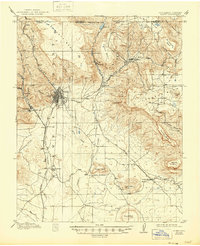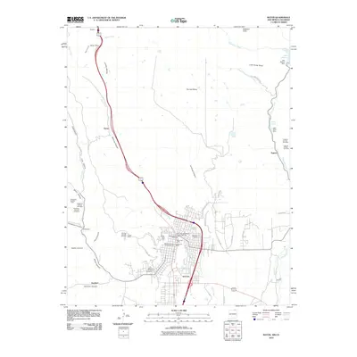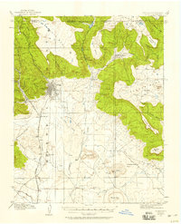
1912 Map of Raton
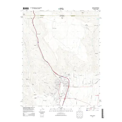
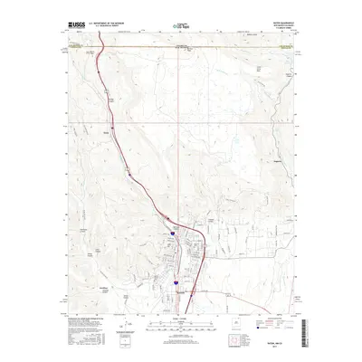
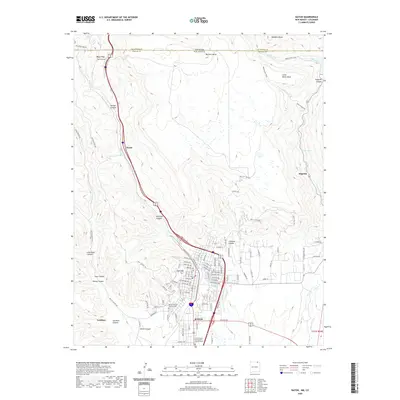
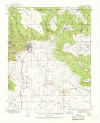
USGS Topo · Published 1958About this map
Raton serves as the focal point for this 1912 survey, situated at the base of the dramatic Bartlett Mesa along the gateway between Colorado and New Mexico. The landscape is defined by the high-altitude industrial and transportation network of the early 20th century, notably the Atchison Topeka and Santa Fe RR as it winds toward the Raton Tunnel. Local coal mining history is evident in the presence of the Wagon Mine and settlements like Blossburg and Gardiner, which supported the region's energy economy. Further south, the terrain levels into the plains where the Clifton House stands as a landmark near the Canadian River. The map also captures several mesa-top ranching or farming areas, such as Horse Mesa and Johnston Mesa, alongside early motor routes like the Raton Pass Road.
Find a feature on this map
39 named features on this map. Tap any name to fly to it.
Don’t see what you’re looking for? This feature index may not catch every label — zoom into the map to look around manually.
Map Details
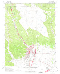
Editions of this 1912 Raton Map
2 editions found
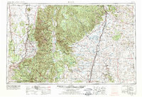
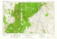
Historical Maps of Raton Through Time
11 maps found