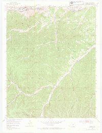
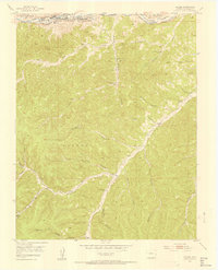
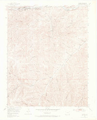
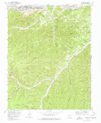
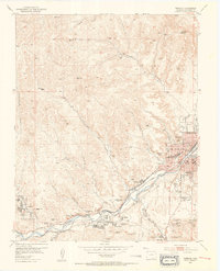
1951 Map of Valdez
USGS Topo · Published 1969About this map
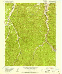
The industrial and agricultural life of the Picketwire Valley is recorded here, where the Purgatoire River flows past the company towns of Segundo and Valdez. The landscape is dominated by the operations of the Frederick Mine, including its associated Frederick Mine Shafts, an airshaft, and a pipe drain that reflect a complex subterranean network. Rail access is provided by the Colorado and Wyoming railroad, which skirts the valley floor near a Coke Oven (Aban'd) and a Pump House.
Find a feature on this map
42 named features on this map. Tap any name to fly to it.
Don’t see what you’re looking for? This feature index may not catch every label — zoom into the map to look around manually.
Map Details
Editions of this 1951 Valdez Map
5 editions found
Other maps of this area

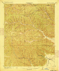
1891 · Spanish Peaks
USGS Topo · 1:125,000

1893 · Spanish Peaks
USGS Topo · 1:125,000

1895 · Spanish Peaks
USGS Topo · 1:125,000

1897 · Spanish Peaks
USGS Topo · 1:125,000

1900 · Spanish Peaks
USGS Topo · 1:125,000
1915 · Brilliant
USGS Topo · 1:62,500
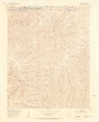
1951 · Trinidad
USGS Topo · 1:24,000
1951 · Valdez
USGS Topo · 1:24,000
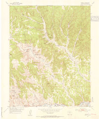
1951 · Madrid
USGS Topo · 1:24,000
1951 · Starkville
USGS Topo · 1:24,000