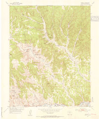
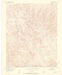
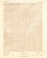
1951 Map of Madrid
USGS Topo · Published 1953About this map
The Purgatoire River, also labeled as the Picketwire River, carves through the southern landscape of Las Animas County, serving as the primary drainage for a network of deeply incised canyons. In the early 1950s, the region's industrial character was defined by coal extraction, though many operations like the Boncarbo Mine and Primero Mine were already listed as inactive. These settlements, including Boncarbo, Madrid, and Primero, were built around the canyon floors, following the natural geography of Reilly and Burro canyons.
Find a feature on this map
40 named features on this map. Tap any name to fly to it.
Don’t see what you’re looking for? This feature index may not catch every label — zoom into the map to look around manually.
Map Details
Editions of this 1951 Madrid Map
3 editions found
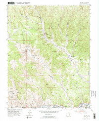
Other maps of this area

1891 · Spanish Peaks
USGS Topo · 1:125,000

1893 · Spanish Peaks
USGS Topo · 1:125,000

1895 · Spanish Peaks
USGS Topo · 1:125,000

1897 · Spanish Peaks
USGS Topo · 1:125,000

1900 · Spanish Peaks
USGS Topo · 1:125,000
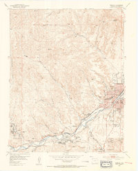
1951 · Trinidad
USGS Topo · 1:24,000
1951 · Valdez
USGS Topo · 1:24,000
1951 · Starkville
USGS Topo · 1:24,000

1954 · Trinidad
USGS Topo · 1:250,000

1955 · Trinidad
USGS Topo · 1:250,000