Old Maps of Punkin Center, Colorado
Explore 12 old maps of Punkin Center, spanning from 1889 to today. These high-resolution historic maps reveal how streets, neighborhoods, landmarks, and natural features evolved over time — perfect for genealogy, metal detecting, research, and local history exploration.
What you can do with these maps:
- See how Punkin Center changed over time: Compare historical maps to modern-day views to trace roads, homesites, rail lines & more.
- View detailed metadata: Each map includes creators, publishers, year, scale, and archive source.
- Overlay maps with satellite & LiDAR: Visualize the past alongside modern tools to explore terrain & human change.
- Trusted historical sources: Maps sourced from the USGS, Library of Congress, and other archives.
- Access maps your way: View online, download high-res files, or order prints for personal or research use.
Start exploring old maps of Punkin Center to uncover forgotten places, hidden landmarks, and the deep history beneath your feet.
Punkin Center, CO maps
(12)- 1889 Map of Sanborn, 1962 Print
 1889 Sanborn1962 Print · USGSEastern Colorado ranching country is captured here during the late 1880s as the open range gave way to established holdings. Researchers can locate early livestock operations like the Maryland Cattle Co. Ranch, Orcutt Ranch, and the Sanborn settlement.
 - 1891 Map of Sanborn
 1891 Sanborn1891 Print · USGSEastern Colorado ranching life at the end of the century centers on isolated outposts and seasonal watercourses. Genealogists can trace family holdings like the Fody Ranch and Orcutt Ranch or the small settlement at Sanborn.
 - 1893 Map of Sanborn
 1893 Sanborn1893 Print · USGSEastern Colorado ranching country is documented here during the late frontier era, showing the early cattle operations and water rights of the high plains. Researchers can locate the Maryland Cattle Co. Ranch and trace the paths of Steel Fork and Horse Creek.4 unique versions available
 - 1954 Map of Lamar, 1964 Print
 1954 Lamar1964 Print · USGSSoutheastern Colorado and the Kansas borderlands appear here in the mid-fifties, dominated by the vital Arkansas River irrigation network. Researchers can trace the development of river towns like Lamar and La Junta alongside the Amity Cemetery and several major reservoirs.3 unique versions available
 - 1958 Map of Lamar
 1958 Lamar1958 Print · USGSThe High Plains of Eastern Colorado and Western Kansas in the late fifties reveal a landscape tied to the Arkansas River and the rails. Trace the heritage of the river valley through Fort Lyon, the Atchison Topeka and Santa Fe RR, and rural landmarks like Kendrick Church.2 unique versions available
 - 1977 Map of Punkin Center, 1978 Print
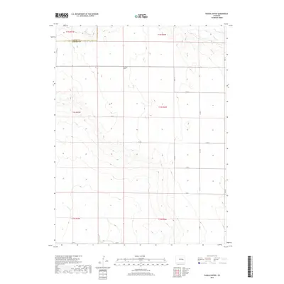
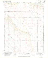 1977 Punkin Center1978 Print · USGSHigh plains ranching country at the Elbert and Lincoln County line comes into focus in the mid-seventies. Trace the rural landscape around Punkin Center and find scattered water sources like Mustang Creek and several isolated Springs.
 - 1984 Map of Karval
 1984 Karval1984 Print · USGSLincoln County ranching country is captured here in the mid-eighties, showing the high plains at a time when remote rail-stops and small crossroads centers still anchored the region. Genealogists and historians can trace the Union Pacific line through Boyero and Wild Horse, or find local landmarks like Pumpkin Center and Kutch.
 - 2010 Map of Punkin Center, 2010 Print
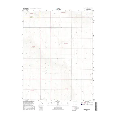
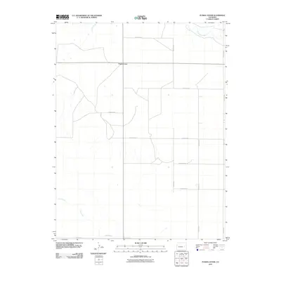 2010 Punkin Center2010 Print · USGSCovers Punkin Center, including Elbert County, Lincoln County, and other nearby areas
 - 2013 Map of Punkin Center, 2013 Print
 2013 Punkin Center2013 Print · USGSCovers Punkin Center, including Elbert County, Lincoln County, and other nearby areas
 - 2016 Map of Punkin Center, 2016 Print
 2016 Punkin Center2016 Print · USGSCovers Punkin Center, including Elbert County, Lincoln County, and other nearby areas
 - 2019 Map of Punkin Center, 2019 Print
 2019 Punkin Center2019 Print · USGSCovers Punkin Center, including Elbert County, Lincoln County, and other nearby areas
 - 2022 Map of Punkin Center, 2022 Print
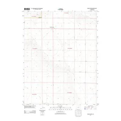
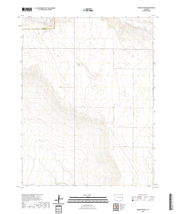 2022 Punkin Center2022 Print · USGSEastern Colorado prairie lands are shown during the early 2020s, revealing the intersection of Elbert Co and Lincoln Co. Researchers can trace the rural road grid from Co Rd Z to Co Rd T and locate seasonal drainages like Horse Cr.
End of results
Showing maps 1-12 of 12
Frequently asked questions
- What are the different types of historical maps available for Punkin Center?
- What is the oldest map of Punkin Center?
- Where can I purchase historical maps of Punkin Center for my home or office?
- Where can I download high-res historical maps of Punkin Center?
- Are there historical topographic maps available for Punkin Center?
- Is there historical aerial imagery available for Punkin Center?
- Where are historical maps of Punkin Center sourced from?