Old Maps of Cameo, Colorado for Genealogy
Trace your family roots with 13 historic maps of Cameo. These high-res maps reveal old neighborhoods, homesites, landmarks, and streets — helping you uncover where your ancestors lived and how the area evolved over time.
- Explore historic neighborhoods: Identify where your relatives may have lived in the 1800s or 1900s.
- Compare maps over time: Trace the changes in streets, buildings, and landmarks for multi-generational research.
- Perfect for genealogy & ancestry research: Used by family historians and researchers to map out lineage and migration.
These maps are an incredible resource for exploring your personal connection to Cameo's past.
Cameo, CO maps
(13)- 1955 Map of Cameo, 1957 Print
 1955 Cameo1957 Print · USGSDe Beque Canyon and the Colorado River corridor are captured in the mid-fifties, showing a landscape defined by rail and irrigation engineering. Researchers can trace the Denver and Rio Grande Western tracks past the Cameo Mine and the massive Highline Canal.6 unique versions available
 - 1956 Map of Grand Junction, 1973 Print
 1956 Grand Junction1973 Print · USGSThe Grand Valley and its surrounding high plateaus are captured here in the mid-twentieth century as the region's ranching and rail heritage remained central. Researchers can trace the path of the Denver & Rio Grande Western RR through Grand Junction or locate remote outposts like Dragon and Atchee.2 unique versions available
 - 1959 Map of Grand Junction
 1959 Grand Junction1959 Print · USGSThe Grand Valley and the high plateaus of the Colorado-Utah border come into focus in the late fifties as irrigation and rail lines define the landscape. Local historians can trace several industrial outposts labeled as abandoned, including Watson and Dragon, alongside the Denver and Rio Grande Western RR.
 - 1960 Map of Grand Junction
 1960 Grand Junction1960 Print · USGSThe Grand Junction area at the dawn of the 1960s shows a landscape of river-valley agriculture and high-plateau extraction. Researchers can trace the path of the dismantled railroad and find vanished sites like Watson and Sego.2 unique versions available
 - 1962 Map of Grand Junction
 1962 Grand Junction1962 Print · USGSThe Western Slope of the early sixties comes into focus here, showing the irrigation-driven growth of the valley and the surrounding high desert. Trace the path of the Denver and Rio Grande Western RR or locate old outposts like Atchee and Dragon.
 - 1964 Map of Grand Junction
 1964 Grand Junction1964 Print · USGSThe Colorado-Utah borderlands are shown here in the mid-1960s, a period when the river-valley settlements and high-desert rail outposts defined the region. Researchers can trace the legacy of remote camps like Atchee and Dragon or follow the agricultural expansion around Grand Junction and Fruita.
 - 1965 Map of Grand Junction
 1965 Grand Junction1965 Print · USGSWestern Colorado and eastern Utah appear at a mid-century crossroads, where the irrigated orchards of the Grand Valley meet the high desert plateaus. Trace the Denver & Rio Grande Western RR as it connects Grand Junction to early settlements like Westwater and Cisco.2 unique versions available
 - 1981 Map of Grand Junction
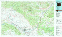 1981 Grand Junction1981 Print · USGSThe Grand Valley is shown during a period of steady growth in the early eighties, where the desert landscape meets the irrigated orchards of Palisade. Trace the historic Denver and Rio Grande Western Railroad route past the Cameo Mine and into the Book Cliffs.
 - 2010 Map of Cameo, 2010 Print
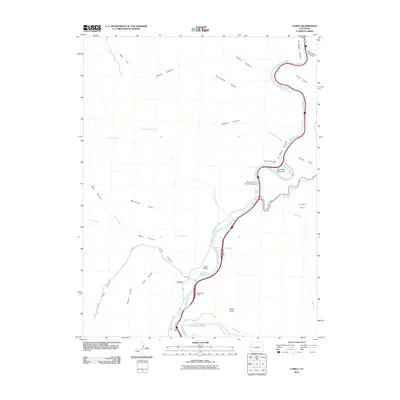 2010 Cameo2010 Print · USGSThe Colorado River corridor near Palisade comes alive in this 2010 survey, showing a landscape defined by water engineering and mineral wealth. Genealogists and industrial historians can trace the Blue Flame Mine, the Grand Valley Diversion Dam, and the winding Government Highline Canal.
 - 2013 Map of Cameo, 2013 Print
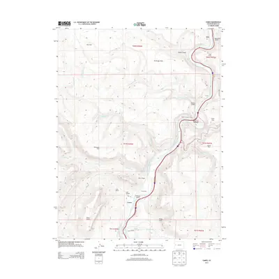 2013 Cameo2013 Print · USGSThe Colorado River corridor near Palisade comes into focus in this modern era survey of De Beque Canyon. Trace the engineering of the Government Highline Canal, the Cameo Siding railroad infrastructure, and the path of the Beavertail Mountain Tunnel.
 - 2016 Map of Cameo, 2016 Print
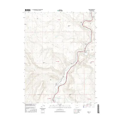 2016 Cameo2016 Print · USGSNear the turn of the twenty-first century, this corner of Mesa County shows the enduring intersection of mountain transit and water engineering. Researchers can trace the path of the Colorado River through De Beque Canyon, the Beavertail Mountain Tunnel, and the historic industrial footprint at Cameo.
 - 2019 Map of Cameo, 2019 Print
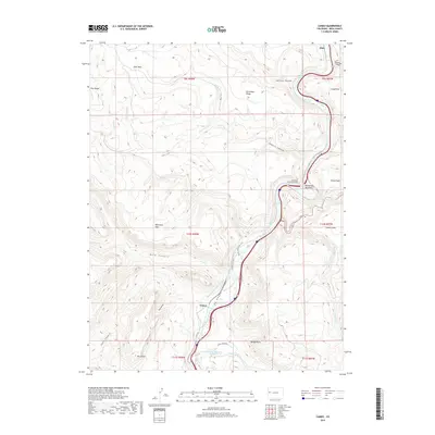 2019 Cameo2019 Print · USGSThe Colorado River corridor near Cameo is revealed in this 2010s survey, showing a landscape defined by deep canyons and critical infrastructure. Researchers can trace the path of the Government Highline Canal, locate Mt Lincoln, and study the engineering of the Beavertail Mountain Tunnel.
 - 2022 Map of Cameo, 2022 Print
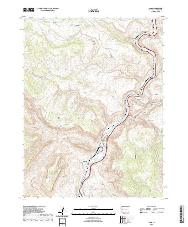 2022 Cameo2022 Print · USGSMesa County's industrial and river landscape is captured here as the new millennium progresses, centered on the vital corridor of the Colorado River. Local historians can trace the paths of the Government Highline Canal and explore the rugged drainages of Coal Canyon and Main Canyon.
End of results
Showing maps 1-13 of 13
Top cities near Cameo
Frequently asked questions
- What are the different types of historical maps available for Cameo?
- What is the oldest map of Cameo?
- Where can I purchase historical maps of Cameo for my home or office?
- Where can I download high-res historical maps of Cameo?
- Are there historical topographic maps available for Cameo?
- Is there historical aerial imagery available for Cameo?
- Where are historical maps of Cameo sourced from?