
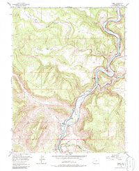
1955 Map of Cameo
USGS Topo · Published 1957About this map
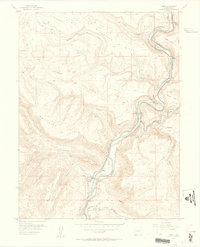
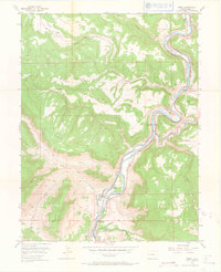
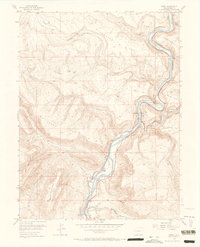
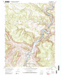
Colorado River currents carve through the deep canyons and high plateaus of Mesa County, defining the industrial and agricultural corridors of the mid-1950s. The settlement of Cameo serves as a focal point for infrastructure, where the Denver and Rio Grande Western railroad parallels the riverbank near Cameo Siding. This area represents a critical intersection of energy and water management, featuring a Power Plant, a Mine, and the sophisticated irrigation engineering of the Highline Canal and Orchard Mesa Siphon.
Find a feature on this map
31 named features on this map. Tap any name to fly to it.
Don’t see what you’re looking for? This feature index may not catch every label — zoom into the map to look around manually.
Map Details
Editions of this 1955 Cameo Map
6 editions found
Other maps of this area

1929 · Grand Valley
USGS Topo · 1:62,500

1929 · Roan Creek
USGS Topo · 1:62,500

1955 · Mesa
USGS Topo · 1:24,000

1956 · Grand Junction
USGS Topo · 1:250,000

1959 · Grand Junction
USGS Topo · 1:250,000

1960 · Grand Junction
USGS Topo · 1:250,000

1962 · Grand Junction
USGS Topo · 1:250,000

1962 · Clifton
USGS Topo · 1:24,000
1962 · De Beque
USGS Topo · 1:24,000
1962 · Lands End
USGS Topo · 1:24,000