Old Maps of The Vineyard, Colorado for Hiking & Exploration
Hike through history with 14 historic maps of The Vineyard. Explore old trails, ghost towns, and forgotten backroads — perfect for outdoor adventurers and local explorers.
- Rediscover forgotten places: Map out old mining camps, roads, and footpaths that no longer exist on modern maps.
- Layer with modern tools: Combine with LiDAR or satellite views to plan hikes through historical terrain.
- Made for exploration: Popular among hikers, overlanders, and local history lovers.
Use these maps to find adventure and explore the hidden past of The Vineyard.
The Vineyard, CO maps
(14)- 1934 Map of Colorado National Monument
 1934 Colorado National Monument1934 Print · USGSMesa County was beginning to see the formalization of its famous canyonlands in the mid-1930s. You can trace early park infrastructure near Park Headquarters and follow the original switchbacks of the Serpents Trail past the Coke Ovens.
 - 1956 Map of Grand Junction, 1973 Print
 1956 Grand Junction1973 Print · USGSThe Grand Valley and its surrounding high plateaus are captured here in the mid-twentieth century as the region's ranching and rail heritage remained central. Researchers can trace the path of the Denver & Rio Grande Western RR through Grand Junction or locate remote outposts like Dragon and Atchee.2 unique versions available
 - 1959 Map of Grand Junction
 1959 Grand Junction1959 Print · USGSThe Grand Valley and the high plateaus of the Colorado-Utah border come into focus in the late fifties as irrigation and rail lines define the landscape. Local historians can trace several industrial outposts labeled as abandoned, including Watson and Dragon, alongside the Denver and Rio Grande Western RR.
 - 1960 Map of Grand Junction
 1960 Grand Junction1960 Print · USGSThe Grand Junction area at the dawn of the 1960s shows a landscape of river-valley agriculture and high-plateau extraction. Researchers can trace the path of the dismantled railroad and find vanished sites like Watson and Sego.2 unique versions available
 - 1962 Map of Grand Junction
 1962 Grand Junction1962 Print · USGSThe Western Slope of the early sixties comes into focus here, showing the irrigation-driven growth of the valley and the surrounding high desert. Trace the path of the Denver and Rio Grande Western RR or locate old outposts like Atchee and Dragon.
 - 1962 Map of Colorado National Monument, 1964 Print
 1962 Colorado National Monument1964 Print · USGSThe canyon country of Mesa County comes alive in the early sixties as the monument's roads and trails take shape near Redlands. Trace the historic Serpents Trail, find the Glade Park Cem, or locate the Redlands Sch along the river valley.6 unique versions available
 - 1964 Map of Grand Junction
 1964 Grand Junction1964 Print · USGSThe Colorado-Utah borderlands are shown here in the mid-1960s, a period when the river-valley settlements and high-desert rail outposts defined the region. Researchers can trace the legacy of remote camps like Atchee and Dragon or follow the agricultural expansion around Grand Junction and Fruita.
 - 1965 Map of Grand Junction
 1965 Grand Junction1965 Print · USGSWestern Colorado and eastern Utah appear at a mid-century crossroads, where the irrigated orchards of the Grand Valley meet the high desert plateaus. Trace the Denver & Rio Grande Western RR as it connects Grand Junction to early settlements like Westwater and Cisco.2 unique versions available
 - 1981 Map of Grand Junction
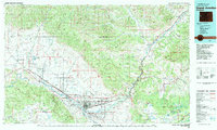 1981 Grand Junction1981 Print · USGSThe Grand Valley is shown during a period of steady growth in the early eighties, where the desert landscape meets the irrigated orchards of Palisade. Trace the historic Denver and Rio Grande Western Railroad route past the Cameo Mine and into the Book Cliffs.
 - 2010 Map of Colorado National Monument, 2010 Print
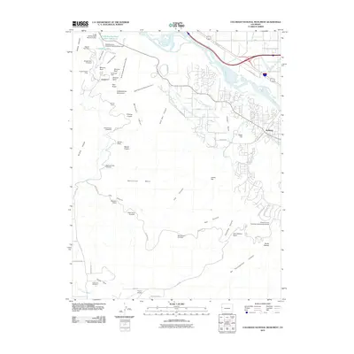 2010 Colorado National Monument2010 Print · USGSThe high plateau and deep canyons of Mesa County are captured here in the early twenty-first century as suburban growth meets protected wilderness. Trace local landmarks from Glade Park Cemetery to the irrigation works of the Redlands First Lift Canal.
 - 2013 Map of Colorado National Monument, 2013 Print
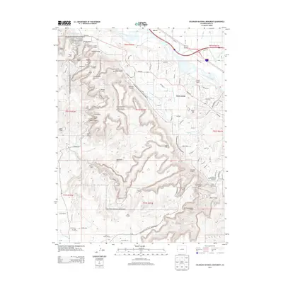 2013 Colorado National Monument2013 Print · USGSThe Grand Valley and its towering red rock formations are captured here just over a decade ago as suburban growth met the protected landscape. Researchers can trace the path of the Colorado River past Rhone and locate landmarks like Riggs Hill and Glade Park Cem.
 - 2016 Map of Colorado National Monument, 2016 Print
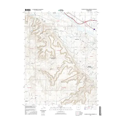 2016 Colorado National Monument2016 Print · USGSThe high desert canyons and growing Grand Valley suburbs meet in this mid-2010s survey of the western slope. Researchers can trace the engineering of the Hinderlider Lift Canal or locate local landmarks like Glade Park Cem and Devils Kitchen.
 - 2019 Map of Colorado National Monument, 2019 Print
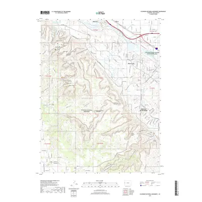 2019 Colorado National Monument2019 Print · USGSGrand Junction and the Redlands meet the high desert plateaus in this recent 2019 survey of the Colorado River valley. Researchers can trace the winding Rim Rock Drive through the Colorado National Monument past landmarks like Saddlehorn and the Coke Ovens.
 - 2023 Map of Colorado National Monument, 2023 Print
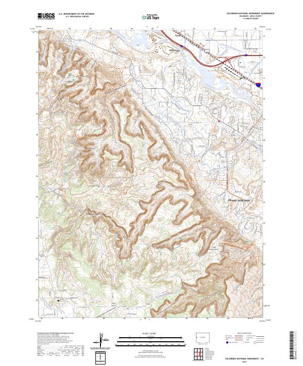 2023 Colorado National Monument2023 Print · USGSMesa County is shown at a point of intersection between the high plateau and the river valley. Trace the irrigation network of the Redlands First Lift Canal and find local landmarks like Glade Park Cem and Window Rock.
End of results
Showing maps 1-14 of 14
Frequently asked questions
- What are the different types of historical maps available for The Vineyard?
- What is the oldest map of The Vineyard?
- Where can I purchase historical maps of The Vineyard for my home or office?
- Where can I download high-res historical maps of The Vineyard?
- Are there historical topographic maps available for The Vineyard?
- Is there historical aerial imagery available for The Vineyard?
- Where are historical maps of The Vineyard sourced from?