
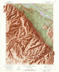
1962 Map of Colorado National Monument
USGS Topo · Published 1964About this map
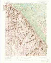
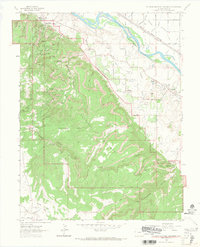
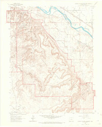
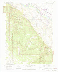
The Colorado National Monument dominates this 1962 landscape, showcasing the geological grandeur of Mesa County just south of the Colorado River. The map meticulously details the early infrastructure of the monument, including the Headquarters, the North Entrance, and the winding Serpents Trail. Beyond the protected canyons of Ute Canyon and Monument Canyon, the valley floor reveals the mid-century agricultural and residential development of Redlands. The Denver & Rio Grande Western Road follows the river corridor, highlighting the vital transportation link between the canyon country and the broader region. Local history is anchored by landmarks like the Redlands Sch and the Glade Park Cem, providing a window into the rural community life that persisted alongside the rising tourism of the national monument and its iconic features like Independence Monument.
Find a feature on this map
57 named features on this map. Tap any name to fly to it.
Don’t see what you’re looking for? This feature index may not catch every label — zoom into the map to look around manually.
Map Details
Editions of this 1962 Colorado National Monument Map
6 editions found
Other maps of this area

1934 · Colorado National Monument
USGS Topo · 1:24,000

1956 · Moab
USGS Topo · 1:250,000

1956 · Grand Junction
USGS Topo · 1:250,000

1959 · Grand Junction
USGS Topo · 1:250,000

1959 · Moab
USGS Topo · 1:250,000

1960 · Moab
USGS Topo · 1:250,000

1960 · Grand Junction
USGS Topo · 1:250,000

1962 · Moab
USGS Topo · 1:250,000

1962 · Grand Junction
USGS Topo · 1:250,000

1962 · Fruita
USGS Topo · 1:24,000