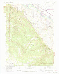
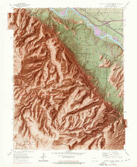
1962 Map of Colorado National Monument
USGS Topo · Published 1975About this map
Colorado National Monument dominates this 1962 landscape, showing the transition from the high desert plateaus of Glade Park down to the fertile river valley. The map documents the intricate network of canyons and spires, including Independence Monument, Coke Ovens, and the Kissing Couple, while also tracing the human infrastructure that skirts these geological giants. Along the northern edge, the Colorado River flows parallel to the Denver And Rio Grande Western Railroad, which served as the primary industrial corridor for the region.
Find a feature on this map
51 named features on this map. Tap any name to fly to it.
Don’t see what you’re looking for? This feature index may not catch every label — zoom into the map to look around manually.
Map Details
Editions of this 1962 Colorado National Monument Map
6 editions found

Other maps of this area

1934 · Colorado National Monument
USGS Topo · 1:24,000

1956 · Moab
USGS Topo · 1:250,000

1956 · Grand Junction
USGS Topo · 1:250,000

1959 · Grand Junction
USGS Topo · 1:250,000

1959 · Moab
USGS Topo · 1:250,000

1960 · Moab
USGS Topo · 1:250,000

1960 · Grand Junction
USGS Topo · 1:250,000

1962 · Moab
USGS Topo · 1:250,000

1962 · Grand Junction
USGS Topo · 1:250,000

1962 · Fruita
USGS Topo · 1:24,000