2000s (21st Century) Maps of Wagon Wheel Gap, Colorado
Explore 6 historic maps of Wagon Wheel Gap from the 2000s (21st Century). These maps offer a rare glimpse into what life looked like during the 2000s — showing old roads, neighborhoods, homes, and landmarks that have changed or disappeared over time.
Whether you're researching your family's past, planning a metal detecting trip, or studying how Wagon Wheel Gap's landscape evolved across the 2000s, these high-resolution maps are a powerful tool for exploring the history of this region.
- Focus on a specific era: All maps on this page are from the 2000s, giving you a focused view of this time period.
- See what’s changed: Compare century-old streets, trails, and buildings to today's modern landscape using overlays and satellite layers.
- Research with precision: Use these maps for genealogy, historical research, land use analysis, or educational projects.
- View, download, or print: Maps are fully viewable online in high resolution, and can be downloaded or printed for your own records.
Start exploring Wagon Wheel Gap's history through authentic maps from the 2000s. This is your window into the past.
Wagon Wheel Gap, CO maps
(6)- 2001 Map of Wagon Wheel Gap, 2005 Print
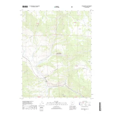
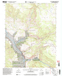 2001 Wagon Wheel Gap2005 Print · USGSMineral County high country at the turn of the millennium shows a landscape defined by the Rio Grande and its rugged alpine tributaries. Researchers can locate remote markers of local history like the Grave near Mc Kinney Gulch or trace old mining Prospect sites near Ute Peak.
 - 2011 Map of Wagon Wheel Gap, 2011 Print
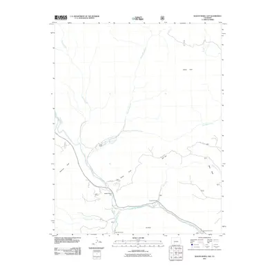 2011 Wagon Wheel Gap2011 Print · USGSCovers Wagon Wheel Gap, including Mineral County, United States, and other nearby areas
 - 2013 Map of Wagon Wheel Gap, 2013 Print
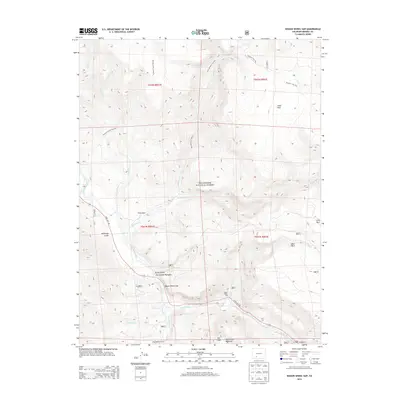 2013 Wagon Wheel Gap2013 Print · USGSCovers Wagon Wheel Gap, including Mineral County, United States, and other nearby areas
 - 2016 Map of Wagon Wheel Gap, 2016 Print
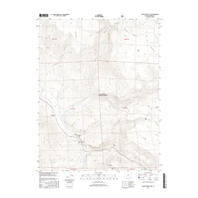 2016 Wagon Wheel Gap2016 Print · USGSCovers Wagon Wheel Gap, including Mineral County, United States, and other nearby areas
 - 2019 Map of Wagon Wheel Gap, 2019 Print
 2019 Wagon Wheel Gap2019 Print · USGSCovers Wagon Wheel Gap, including Mineral County, United States, and other nearby areas
 - 2022 Map of Wagon Wheel Gap, 2022 Print
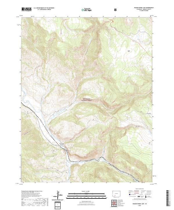 2022 Wagon Wheel Gap2022 Print · USGSModern Colorado mountain life meets high-country wilderness in this recent survey of the Mineral County landscape. Researchers can trace the rugged corridor of the Rio Grande and identify landmarks like the Rio Grande Palisades and Ute Peak.
End of results
Showing maps 1-6 of 6
Top cities near Wagon Wheel Gap
Frequently asked questions
- What are the different types of historical maps available for Wagon Wheel Gap?
- What is the oldest map of Wagon Wheel Gap?
- Where can I purchase historical maps of Wagon Wheel Gap for my home or office?
- Where can I download high-res historical maps of Wagon Wheel Gap?
- Are there historical topographic maps available for Wagon Wheel Gap?
- Is there historical aerial imagery available for Wagon Wheel Gap?
- Where are historical maps of Wagon Wheel Gap sourced from?