Old Maps of Bloom, Colorado for Genealogy
Trace your family roots with 14 historic maps of Bloom. These high-res maps reveal old neighborhoods, homesites, landmarks, and streets — helping you uncover where your ancestors lived and how the area evolved over time.
- Explore historic neighborhoods: Identify where your relatives may have lived in the 1800s or 1900s.
- Compare maps over time: Trace the changes in streets, buildings, and landmarks for multi-generational research.
- Perfect for genealogy & ancestry research: Used by family historians and researchers to map out lineage and migration.
These maps are an incredible resource for exploring your personal connection to Bloom's past.
Bloom, CO maps
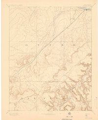
(14)- 1891 Map of Timpas
 1891 Timpas1891 Print · USGSHigh plains ranching and steam-era railroading dominate this Otero County landscape during the late 1800s. Genealogists and researchers can trace the historic route of the Atchison Topeka and Santa Fe Railroad through early stops at Timpas and Iron Springs.
 - 1894 Map of Timpas
 1894 Timpas1894 Print · USGSSoutheast Colorado in the late nineteenth century was a rugged landscape defined by the transition from river valleys to high plateaus. Genealogists and historians can trace the early rail stops at Benton and Iron Springs or follow the route of the Santa Fe Trail through Packers Gap.5 unique versions available
 - 1955 Map of La Junta, 1966 Print
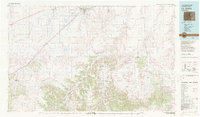
 1955 La Junta1966 Print · USGSSoutheastern Colorado during the mid-fifties is captured here as a sprawling network of ranching outposts and rail sidings. Researchers can locate vanished landmarks like the Sunderland School, trace the isolated Lycan Post Office, or find the Bomb target (abandoned) on the western plains.3 unique versions available
 - 1958 Map of La Junta
 1958 La Junta1958 Print · USGSSoutheast Colorado and the Kansas borderlands appear in the late fifties as a landscape of isolated ranching outposts and vital rail junctions. Researchers can trace the lineage of vanished post offices and rural school sites like the Lycan Post Office and Sunderland School.2 unique versions available
 - 1968 Map of La Junta
 1968 La Junta1968 Print · USGSSoutheastern Colorado and the high plains appear in remarkable detail during the late 1960s, showing the intersection of irrigation, ranching, and rail. Genealogists can trace family footprints at the Lycan Post Office, Konantz Cem, and across numerous named cattle ranches.
 - 1972 Map of Bloom, 1976 Print
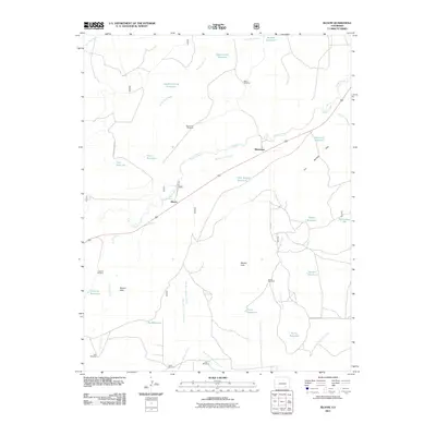
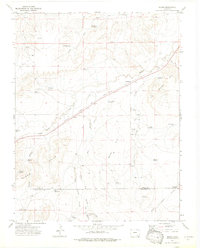 1972 Bloom1976 Print · USGSThe high plains of Otero County are captured here in the early seventies, centered on the railroad settlements of Bloom and Mindeman. Researchers can trace the ranching history of the Bloom Hills through family landmarks like Baski Windmill and Cochran Reservoir.3 unique versions available
 - 1982 Map of La Junta, 1983 Print
 1982 La Junta1983 Print · USGSSoutheast Colorado in the early eighties shows a high plains landscape defined by the historic Santa Fe Trail and the Atchison Topeka and Santa Fe rail lines. Researchers can trace rural outposts like Higbee and Timpas or the rugged canyonlands surrounding the Purgatoire River.
 - 1993 Map of Bloom
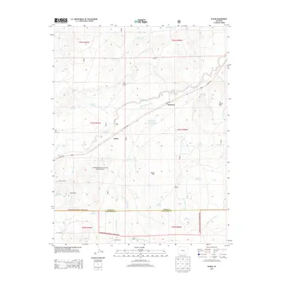
 1993 Bloom1993 Print · USGSSoutheast Colorado's high plains reveal a landscape of transit and ranching in the early nineties, where the Historic Santa Fe Trail follows the same path as the railroad. Researchers can trace the small settlement at Bloom or locate family-named landmarks like Cochran Reservoir and Fultz Reservoir.
 - 1996 Map of Bloom, 2000 Print
 1996 Bloom2000 Print · USGSThe Colorado high plains near the Otero and Las Animas county line appear here in the mid-1990s, dominated by the wide reaches of the Comanche National Grassland. Genealogists and historians can trace the Santa Fe National Historic Trail past Bloom and locate isolated Graves and ranch landmarks like Corral Well.
 - 2011 Map of Bloom, 2011 Print
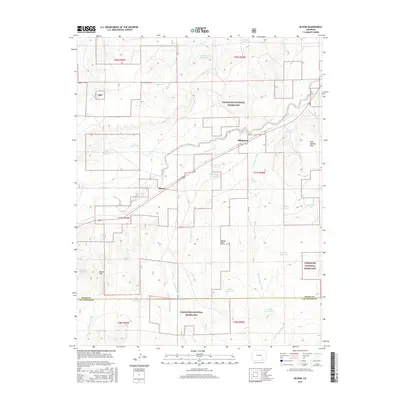
 2011 Bloom2011 Print · USGSCovers Bloom, including Mindeman, Otero County, and other nearby areas
 - 2013 Map of Bloom, 2013 Print
 2013 Bloom2013 Print · USGSCovers Bloom, including Mindeman, Otero County, and other nearby areas
 - 2016 Map of Bloom, 2016 Print
 2016 Bloom2016 Print · USGSCovers Bloom, including Mindeman, Otero County, and other nearby areas
 - 2019 Map of Bloom, 2019 Print
 2019 Bloom2019 Print · USGSCovers Bloom, including Mindeman, Otero County, and other nearby areas
 - 2022 Map of Bloom, 2022 Print
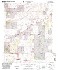
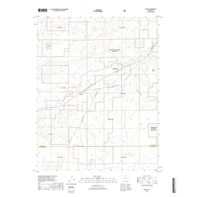
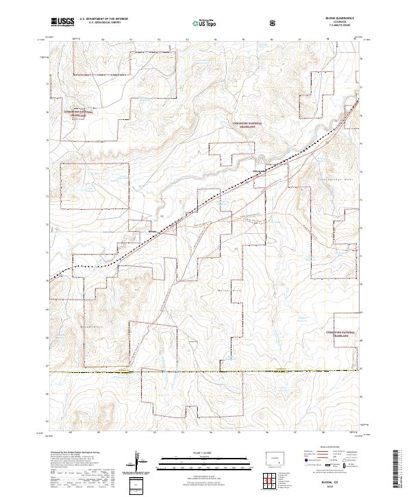 2022 Bloom2022 Print · USGSSoutheast Colorado's high plains come alive in this survey of the Otero and Las Animas county line, where ranching life meets historic western pathways. Researchers can trace the Santa Fe National Historic Trl as it passes through Bloom and Mindeman.
End of results
Showing maps 1-14 of 14
Frequently asked questions
- What are the different types of historical maps available for Bloom?
- What is the oldest map of Bloom?
- Where can I purchase historical maps of Bloom for my home or office?
- Where can I download high-res historical maps of Bloom?
- Are there historical topographic maps available for Bloom?
- Is there historical aerial imagery available for Bloom?
- Where are historical maps of Bloom sourced from?