Old Maps of Swink, Colorado for Genealogy
Trace your family roots with 17 historic maps of Swink. These high-res maps reveal old neighborhoods, homesites, landmarks, and streets — helping you uncover where your ancestors lived and how the area evolved over time.
- Explore historic neighborhoods: Identify where your relatives may have lived in the 1800s or 1900s.
- Compare maps over time: Trace the changes in streets, buildings, and landmarks for multi-generational research.
- Perfect for genealogy & ancestry research: Used by family historians and researchers to map out lineage and migration.
These maps are an incredible resource for exploring your personal connection to Swink's past.
Swink, CO maps
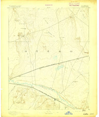
(17)- 1891 Map of Catlin
 1891 Catlin1891 Print · USGSSoutheast Colorado's high plains were a landscape of competing rail lines and isolated ranching camps in the late nineteenth century. Genealogists and historians can trace the early development of Rocky Ford and Catlin along the Arkansas River or locate remote outposts like Lone Tree Ranch and Sheep Camp.
 - 1893 Map of Catlin
 1893 Catlin1893 Print · USGSSoutheast Colorado at the close of the nineteenth century was a territory defined by the arrival of the rails and the flow of the Arkansas River. Genealogists and historians can trace early ranching and rail stops such as Rocky Ford, Lone Tree Ranch, and the isolated Double Dobe.5 unique versions available
 - 1953 Map of Cheraw, 1954 Print
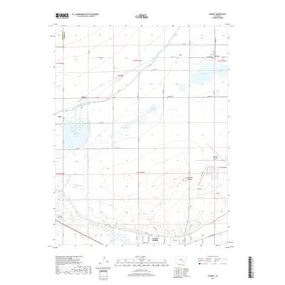
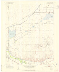 1953 Cheraw1954 Print · USGSOtero County at the start of the fifties shows a landscape reshaped by massive irrigation projects and the sugar beet industry. You can trace the railroad-dependent economy through the Sugar Refinery, locate family sites at Holbrook Cemetery, or explore the mid-century layout of Cheraw.4 unique versions available
 - 1954 Map of Lamar, 1964 Print
 1954 Lamar1964 Print · USGSSoutheastern Colorado and the Kansas borderlands appear here in the mid-fifties, dominated by the vital Arkansas River irrigation network. Researchers can trace the development of river towns like Lamar and La Junta alongside the Amity Cemetery and several major reservoirs.3 unique versions available
 - 1955 Map of Rocky Ford, 1956 Print
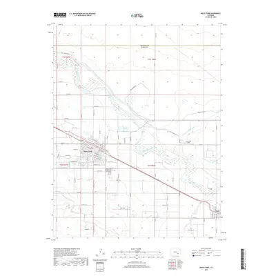
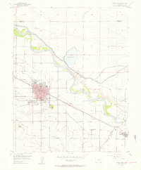 1955 Rocky Ford1956 Print · USGSThe Arkansas River valley thrived as a sugar beet and rail hub during the mid-fifties. Researchers can trace the industrial landscape of Rocky Ford through the Sugar Refinery, the Valley View Cem, and the Newdale Sch.2 unique versions available
 - 1958 Map of Lamar
 1958 Lamar1958 Print · USGSThe High Plains of Eastern Colorado and Western Kansas in the late fifties reveal a landscape tied to the Arkansas River and the rails. Trace the heritage of the river valley through Fort Lyon, the Atchison Topeka and Santa Fe RR, and rural landmarks like Kendrick Church.2 unique versions available
 - 1981 Map of Las Animas
 1981 Las Animas1981 Print · USGSSoutheast Colorado in the early eighties shows a landscape shaped by the Arkansas River and vital rail lines. Genealogists can locate family sites near La Junta, Fort Lyon, and Rocky Ford, or trace the historic path of the Santa Fe Trail.
 - 2010 Map of Cheraw, 2010 Print
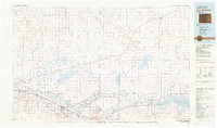
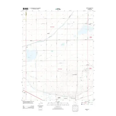
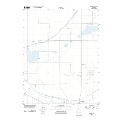 2010 Cheraw2010 Print · USGSCovers Swink, including La Junta, Cheraw, and other nearby areas
 - 2010 Map of Rocky Ford, 2010 Print
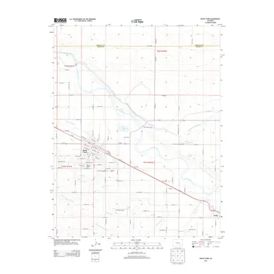
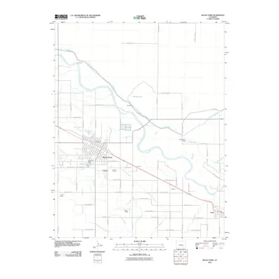 2010 Rocky Ford2010 Print · USGSCovers Swink, including Rocky Ford, Otero County, and other nearby areas
 - 2013 Map of Rocky Ford, 2013 Print
 2013 Rocky Ford2013 Print · USGSCovers Swink, including Rocky Ford, Otero County, and other nearby areas
 - 2013 Map of Cheraw, 2013 Print
 2013 Cheraw2013 Print · USGSCovers Swink, including La Junta, Cheraw, and other nearby areas
 - 2016 Map of Rocky Ford, 2016 Print
 2016 Rocky Ford2016 Print · USGSCovers Swink, including Rocky Ford, Otero County, and other nearby areas
 - 2016 Map of Cheraw, 2016 Print
 2016 Cheraw2016 Print · USGSCovers Swink, including La Junta, Cheraw, and other nearby areas
 - 2019 Map of Rocky Ford, 2019 Print
 2019 Rocky Ford2019 Print · USGSCovers Swink, including Rocky Ford, Otero County, and other nearby areas
 - 2019 Map of Cheraw, 2019 Print
 2019 Cheraw2019 Print · USGSCovers Swink, including La Junta, Cheraw, and other nearby areas
 - 2022 Map of Rocky Ford, 2022 Print
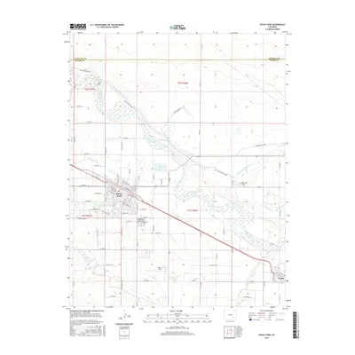
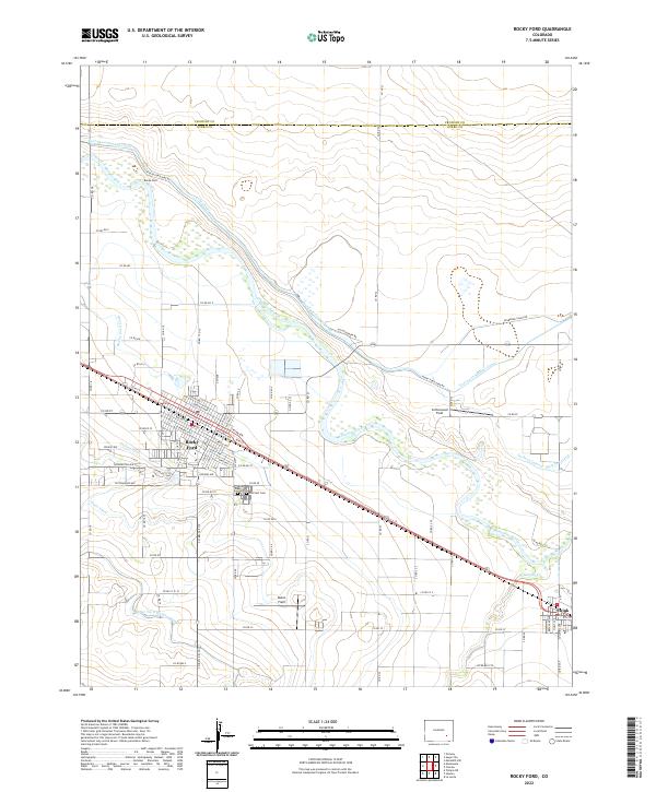 2022 Rocky Ford2022 Print · USGSThe Arkansas River Valley's agricultural heartland is documented here in the early twenty-first century, centered on the town of Rocky Ford. Genealogists and local historians can trace the irrigation networks of the Catlin Canal and visit sites like Valley View Cem or the nearby settlement of Swink.
 - 2022 Map of Cheraw, 2022 Print
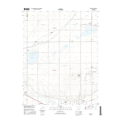
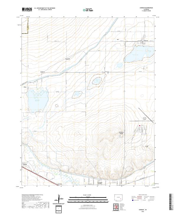 2022 Cheraw2022 Print · USGSSoutheast Colorado's high plains are revealed here in the early twenty-first century as a landscape of precision irrigation and river valley settlements. Genealogists and local historians can trace the grid through Cheraw, La Junta Village, and the Holbrook Cem.
End of results
Showing maps 1-17 of 17
Top cities near Swink
- La Junta historical maps
- Rocky Ford historical maps
- Ordway historical maps
- Sugar City historical maps
- Cheraw historical maps
- Crowley historical maps
Frequently asked questions
- What are the different types of historical maps available for Swink?
- What is the oldest map of Swink?
- Where can I purchase historical maps of Swink for my home or office?
- Where can I download high-res historical maps of Swink?
- Are there historical topographic maps available for Swink?
- Is there historical aerial imagery available for Swink?
- Where are historical maps of Swink sourced from?