Old Maps of Guffey, Colorado for Genealogy
Trace your family roots with 15 historic maps of Guffey. These high-res maps reveal old neighborhoods, homesites, landmarks, and streets — helping you uncover where your ancestors lived and how the area evolved over time.
- Explore historic neighborhoods: Identify where your relatives may have lived in the 1800s or 1900s.
- Compare maps over time: Trace the changes in streets, buildings, and landmarks for multi-generational research.
- Perfect for genealogy & ancestry research: Used by family historians and researchers to map out lineage and migration.
These maps are an incredible resource for exploring your personal connection to Guffey's past.
Guffey, CO maps
(15)- 1954 Map of Pueblo, 1966 Print
 1954 Pueblo1966 Print · USGSMid-century Colorado comes alive in this survey of the Front Range and the high plains as the region expanded after the war. Genealogists and historians can trace family roots through rural landmarks like Hanover Church, Pioneer Cemetery, and the Grandview School.3 unique versions available
 - 1957 Map of Pueblo
 1957 Pueblo1957 Print · USGSMid-century Colorado comes alive as the Front Range urban centers expand alongside massive Cold War military installations. Genealogists and historians can trace the foundations of Stone City, rural sites like Hanover School, and the industrial Canon Imperial Mine.
 - 1958 Map of Pueblo
 1958 Pueblo1958 Print · USGSColorado's Front Range and Arkansas River Valley come alive in the late fifties, showing the transition from historic mining districts to major military and rail hubs. Genealogists and historians can trace family roots in ranching communities and find landmarks like Cripple Creek, Manitou, and the Hanover School.
 - 1959 Map of Guffey, 1961 Print
 1959 Guffey1961 Print · USGSPark County ranching and the high-country landscape near the South Platte River are detailed here during the late fifties. Genealogists and researchers can trace the locations of the Pabst-Howe Ranch, the settlement of Guffey, and the Old Railroad Grade near Spinney Mountain.3 unique versions available
 - 1962 Map of Pueblo
 1962 Pueblo1962 Print · USGSThe Front Range and high plains meet in the early sixties as military installations and industrial mining shape the corridor from Colorado Springs to Pueblo. Genealogists can trace family names through rural landmarks like the Columbine School, Hanover Church, and Fairview Cem.
 - 1966 Map of Pueblo
 1966 Pueblo1966 Print · USGSThe Front Range and Arkansas River Valley are captured here in the mid-1960s, showing a landscape shaped by mining, military expansion, and rail. Researchers can locate numerous country schools and mines, such as the Lytle School, Pioneer Cem, and Empire Zinc Mine.
 - 1983 Map of Pikes Peak
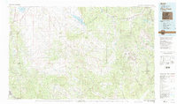 1983 Pikes Peak1983 Print · USGSIn the early eighties, the high-altitude mining districts of Teller County remained deeply etched into the mountain landscape. Researchers can trace the legacy of the Gold Belt through sites like the Stratton Mine and vanished rail stops near Cripple Creek or Altman.
 - 1983 Map of Thirtynine Mile Mountain
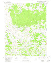 1983 Thirtynine Mile Mountain1983 Print · USGSPark County high country during the early 1980s reveals a landscape of isolated settlements and mineral exploration. Genealogists and historians can locate the community of Guffey, the meadows of Chumway Park, and numerous Prospect sites near Currant Creek.2 unique versions available
 - 1989 Map of Pueblo
 1989 Pueblo1989 Print · USGSIn the late eighties, the Colorado Front Range balanced its deep mining history with massive military expansion and water development. Researchers can trace the rail lines of the AT & SF RR or locate remote high-altitude settlements like Rosita and Querida.
 - 1994 Map of Thirtynine Mile Mountain, 1998 Print
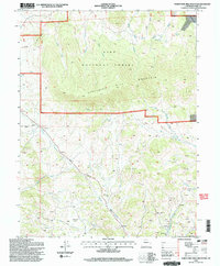 1994 Thirtynine Mile Mountain1998 Print · USGSPark County high country comes into focus in the mid-nineties, showing the intersection of mountain ranching and mineral exploration. Researchers can trace the Homestake Pipeline, locate dozens of Prospects, and find the early layout of Guffey.2 unique versions available
 - 2011 Map of Thirtynine Mile Mountain, 2011 Print
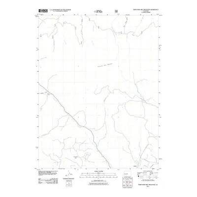 2011 Thirtynine Mile Mountain2011 Print · USGSCovers Guffey, including Park County, United States, and other nearby areas
 - 2013 Map of Thirtynine Mile Mountain, 2013 Print
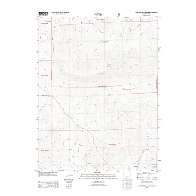 2013 Thirtynine Mile Mountain2013 Print · USGSCovers Guffey, including Park County, United States, and other nearby areas
 - 2016 Map of Thirtynine Mile Mountain, 2016 Print
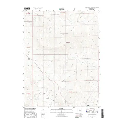 2016 Thirtynine Mile Mountain2016 Print · USGSCovers Guffey, including Park County, United States, and other nearby areas
 - 2019 Map of Thirtynine Mile Mountain, 2019 Print
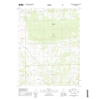 2019 Thirtynine Mile Mountain2019 Print · USGSCovers Guffey, including Park County, United States, and other nearby areas
 - 2022 Map of Thirtynine Mile Mountain, 2022 Print
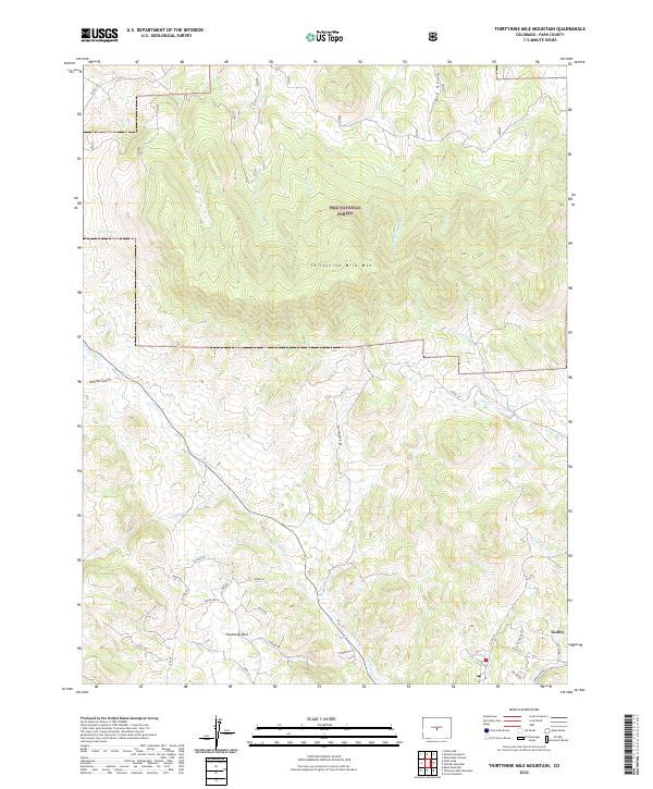 2022 Thirtynine Mile Mountain2022 Print · USGSPark County high country comes into focus in this recent survey, centered on the towering Thirtynine Mile Mtn and the Pike National Forest. Researchers can trace the layout of the Guffey community or explore the winding paths of Currant Cr and W Fourmile Cr.
End of results
Showing maps 1-15 of 15
Frequently asked questions
- What are the different types of historical maps available for Guffey?
- What is the oldest map of Guffey?
- Where can I purchase historical maps of Guffey for my home or office?
- Where can I download high-res historical maps of Guffey?
- Are there historical topographic maps available for Guffey?
- Is there historical aerial imagery available for Guffey?
- Where are historical maps of Guffey sourced from?