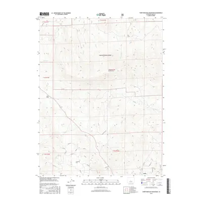
2016 Map of Thirtynine Mile Mountain
USGS Topo · Published 2016About this map
Thirtynine Mile Mountain dominates this high-altitude landscape within the Pike National Forest, where a network of seasonal streams like Currant Cr and Balm of Gilead Cr carve through the terrain. The settlement of Guffey sits in the southeast corner, serving as a focal point for a residential web of rural roads with animal-inspired names such as Coyote Dr, Hawk Ln, and Elk Ln. This pattern of development around Guffey contrasts sharply with the protected wilderness to the north.
Find a feature on this map
41 named features on this map. Tap any name to fly to it.
Don’t see what you’re looking for? This feature index may not catch every label — zoom into the map to look around manually.
Map Details
Editions of this 2016 Thirtynine Mile Mountain Map
This is the sole edition of this map. No revisions or reprints were ever made.
Other maps of this area
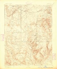
1894 · Pikes Peak
USGS Topo · 1:125,000
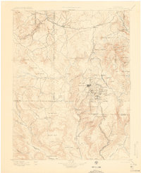
1901 · Pikes Peak
USGS Topo · 1:125,000
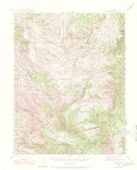
1942 · Cover Mtn.
USGS Topo · 1:62,500
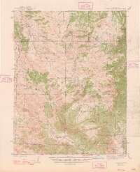
1948 · Cover Mtn.
USGS Topo · 1:62,500
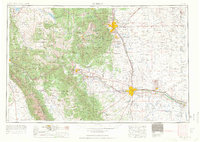
1954 · Pueblo
USGS Topo · 1:250,000
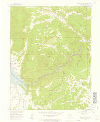
1956 · Elevenmile Canyon
USGS Topo · 1:24,000
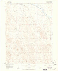
1956 · Guffey NW
USGS Topo · 1:24,000
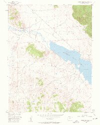
1956 · Spinney Mountain
USGS Topo · 1:24,000
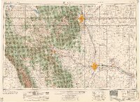
1957 · Pueblo
USGS Topo · 1:250,000
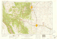
1958 · Pueblo
USGS Topo · 1:250,000