
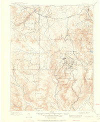
1901 Map of Pikes Peak
USGS Topo · Published 1901About this map
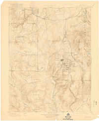
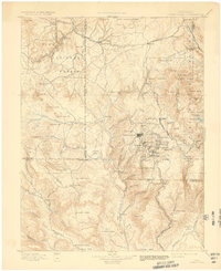
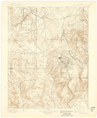
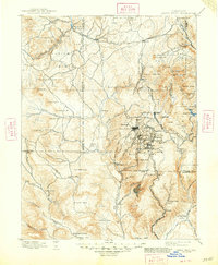
The gold mining boom of the late nineteenth century is the central theme of this landscape, centered on the high-density districts of Cripple Creek and Victor. Surveyed just after the peak of the gold rush, the map reveals an intricate network of narrow-gauge and standard railroads essential for moving ore and miners, including the Colorado Midland Railroad and the Florence and Cripple Creek R. R. while showing the rise of satellite settlements like Goldfield, Anaconda, and Gillet.
Find a feature on this map
114 named features on this map. Tap any name to fly to it.
Don’t see what you’re looking for? This feature index may not catch every label — zoom into the map to look around manually.
Map Details
Editions of this 1901 Pikes Peak Map
6 editions found
Other maps of this area

1889 · Canon City
USGS Topo · 1:125,000

1891 · Pueblo
USGS Topo · 1:125,000

1892 · Canon City
USGS Topo · 1:125,000

1893 · Platte Canyon
USGS Topo · 1:125,000

1893 · Colorado Springs
USGS Topo · 1:125,000

1894 · Pikes Peak
USGS Topo · 1:125,000

1894 · Castle Rock
USGS Topo · 1:125,000

1894 · Pueblo
USGS Topo · 1:125,000

1896 · Pueblo
USGS Topo · 1:125,000

1897 · Pueblo
USGS Topo · 1:125,000