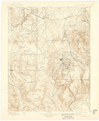
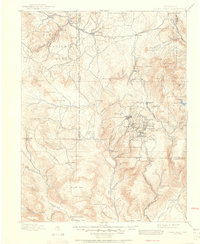
1901 Map of Pikes Peak
USGS Topo · Published 1939About this map
Cripple Creek and Victor anchor this turn-of-the-century look at one of the world's most productive gold mining districts. The landscape is a dense network of mining camps and support towns, including Anaconda, Elkton, Independence, and Goldfield, all linked by complex mountain rail lines like the Colorado Midland Railroad and the P. P. C. C. R. R.. Beyond the industrial intensity of the mines, the map transitions into the varied terrain of the Pike National Forest, where the famous summit of Pikes Peak rises above Glen Cove and Sentinel Point. To the west, the ancient geology of the Fossil Beds near Florissant sits in contrast to the rapid development of the era's gold rush. The map also captures several isolated mountain parks, such as Wilson Park and Garden Park, which provided crucial grazing and transit routes for the region's early settlers and prospectors.
Find a feature on this map
99 named features on this map. Tap any name to fly to it.
Don’t see what you’re looking for? This feature index may not catch every label — zoom into the map to look around manually.
Map Details
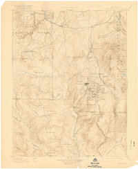
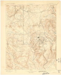
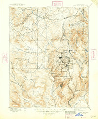
Editions of this 1901 Pikes Peak Map
6 editions found

Other maps of this area

1889 · Canon City
USGS Topo · 1:125,000

1891 · Pueblo
USGS Topo · 1:125,000

1892 · Canon City
USGS Topo · 1:125,000

1893 · Platte Canyon
USGS Topo · 1:125,000

1893 · Colorado Springs
USGS Topo · 1:125,000

1894 · Pikes Peak
USGS Topo · 1:125,000

1894 · Castle Rock
USGS Topo · 1:125,000

1894 · Pueblo
USGS Topo · 1:125,000

1896 · Pueblo
USGS Topo · 1:125,000

1897 · Pueblo
USGS Topo · 1:125,000